Alpe Courtlys, from the Staffal car park


Edited by:
Massimo Martini
Updated at: 23/08/2026
Access
Road directions
At the toll booth exit at Pont-Saint-Martin, follow the for 750m (750m). At the roundabout, take the third exit and join the . Continue along the for 450 metres (1.2 km), then turn right onto Via Gressoney and continue along the for 26.8 km (28 km), passing through the villages of Lillianes, Fontainemore, Issime, Gaby and Gressoney-Saint-Jean. Turn right to stay on the for a further 6 km (34 km), then continue on the for 3.1 km (37.1 km) to Gressoney-La-Trinité. Keep right on the for a further 1.2 km (38.3 km) to the village of Staffal.
Car park
In the village of Staffal, opposite the Gabiet cable cars, there is a paid 🅿️ car park. This is the starting point of the route.
Access by public transport
The village is served by the Pont-Saint-Martin – Gressoney bus route operated by Autolinee Vita Group (V.I.T.A. S.p.A.). The relevant bus stop is Staffal-Anderbatt. The service operates during the winter season; to check the latest timetables, visit the Vita Group website.
Distance and journey time
🕒 journey time: 52 minutes
📏 distance: 38.2 km
GPS navigation
Important information
The directions provided were verified on the date the route was mapped. Before setting off, we recommend checking for any changes to the route or road conditions. For up-to-date information, please consult Google Maps or Apple Maps.
Introduction
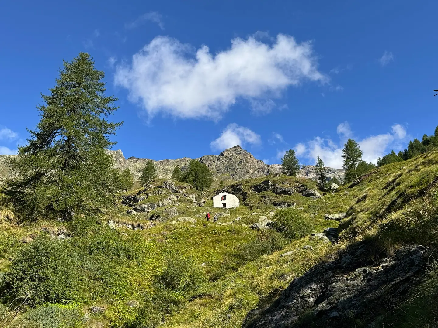
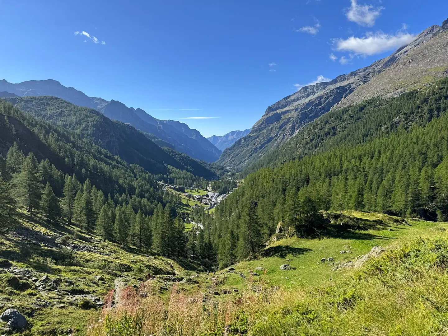
A route that follows the upper reaches of the Lys Valley, at the entrance to the upper Gressoney Valley, passing through the Courtlys mountain pasture at the foot of the Monte Rosa massif. The route leaves the Staffal valley floor, initially following a farm track along the bank of the Lys stream, before joining a mountain path that crosses pastures and clearings before climbing via a series of hairpin bends up to the huts on the mountain pasture.
The mountain pasture, which is still used for grazing during the summer months, overlooks the glacial head of the Lys and the peaks of the Monte Rosa massif, including the Lyskamm. The area, also known as Cortlys-Sikken-Salzen, has long been the subject of a hydroelectric power station project involving a intake structure on the upper reaches of the Lys stream: the process, which began in the early 2000s, has not yet been finalised and has, over the years, been the subject of appeals and statements by environmental organisations and the local committee for the protection of the alp; the site has also been listed by the FAI in its “I luoghi del cuore” (Places Close to Our Hearts) survey amongst the areas identified by the public as being threatened by infrastructure projects.
The best time to visit is in summer, when the mountain pasture is in use and the pastures are free of snow. The route, which is short and has a modest elevation gain, presents no navigation difficulties and is also suitable for those with a moderate level of fitness.
Description
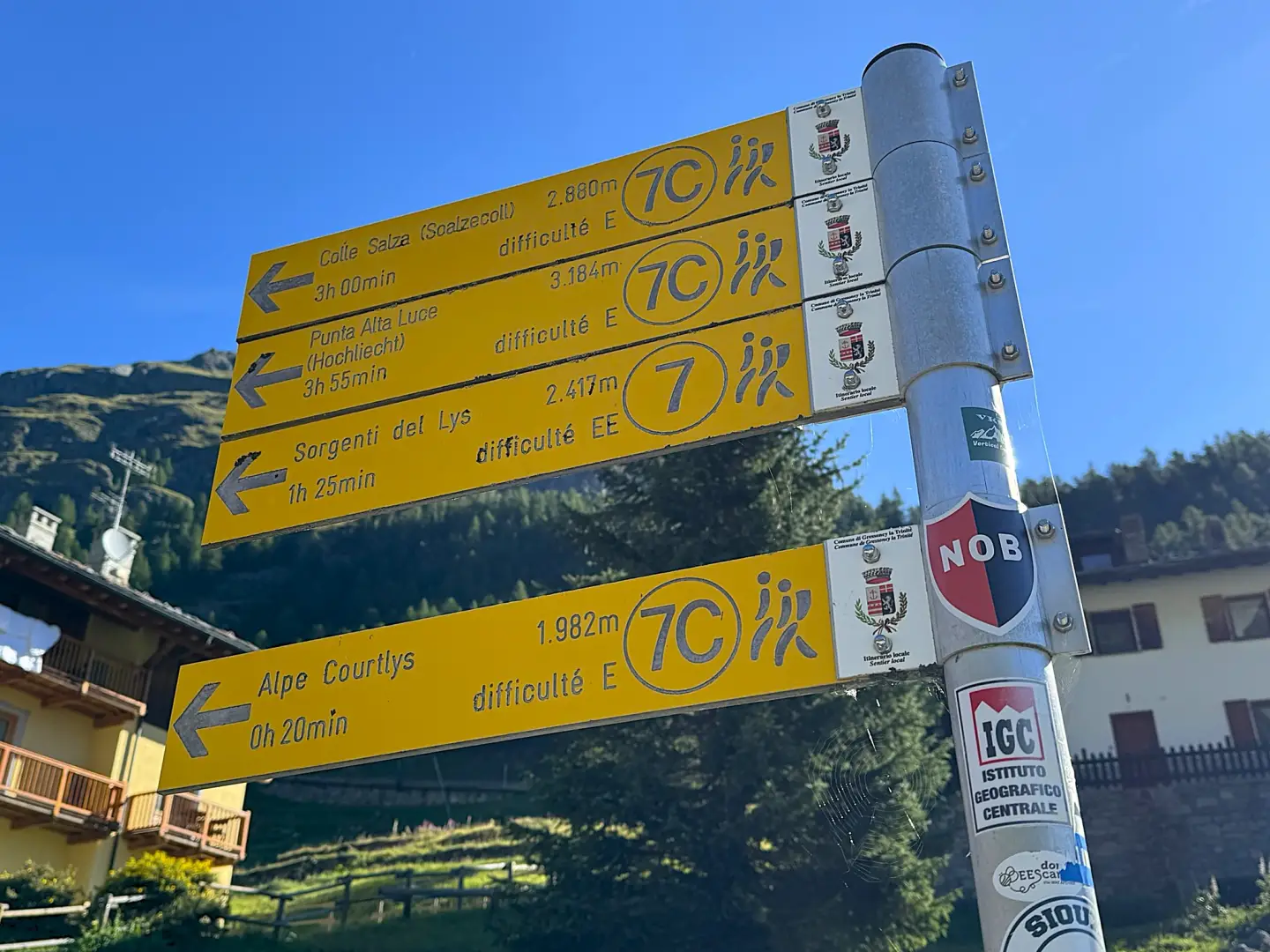
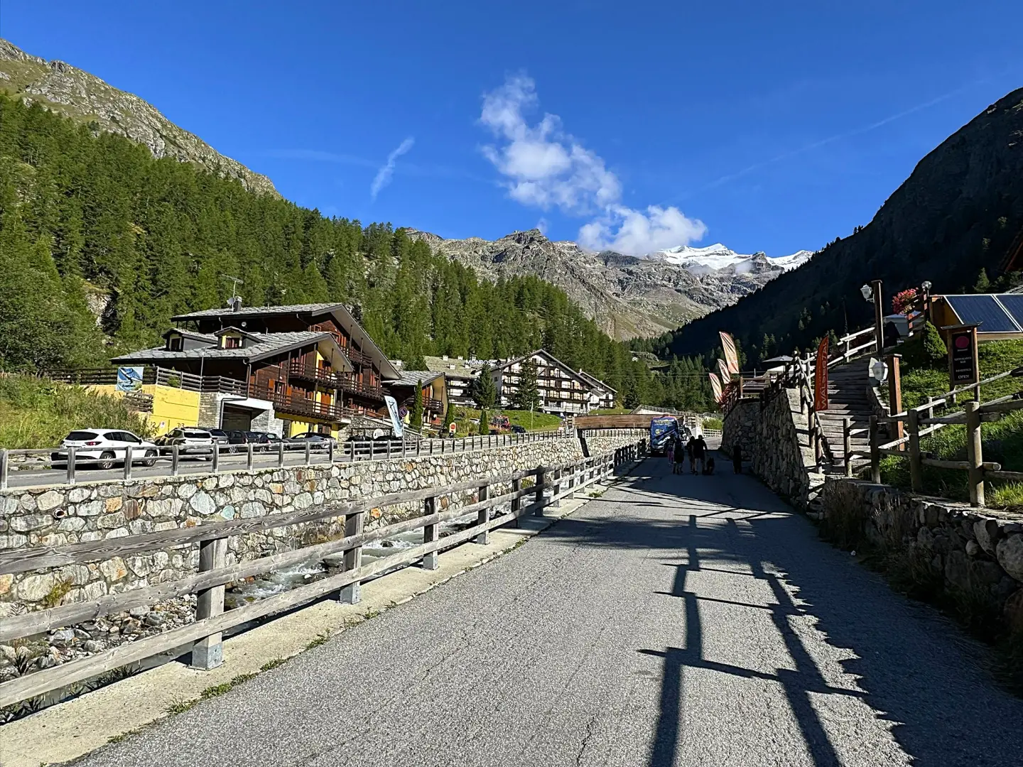
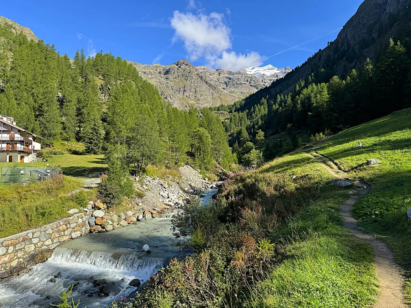
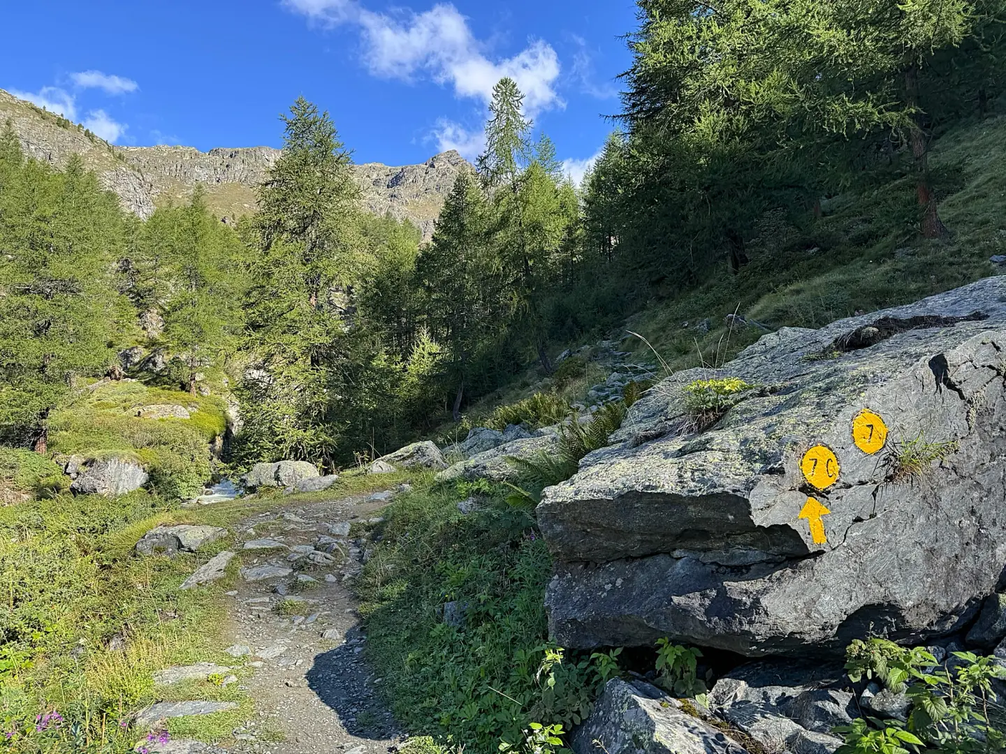
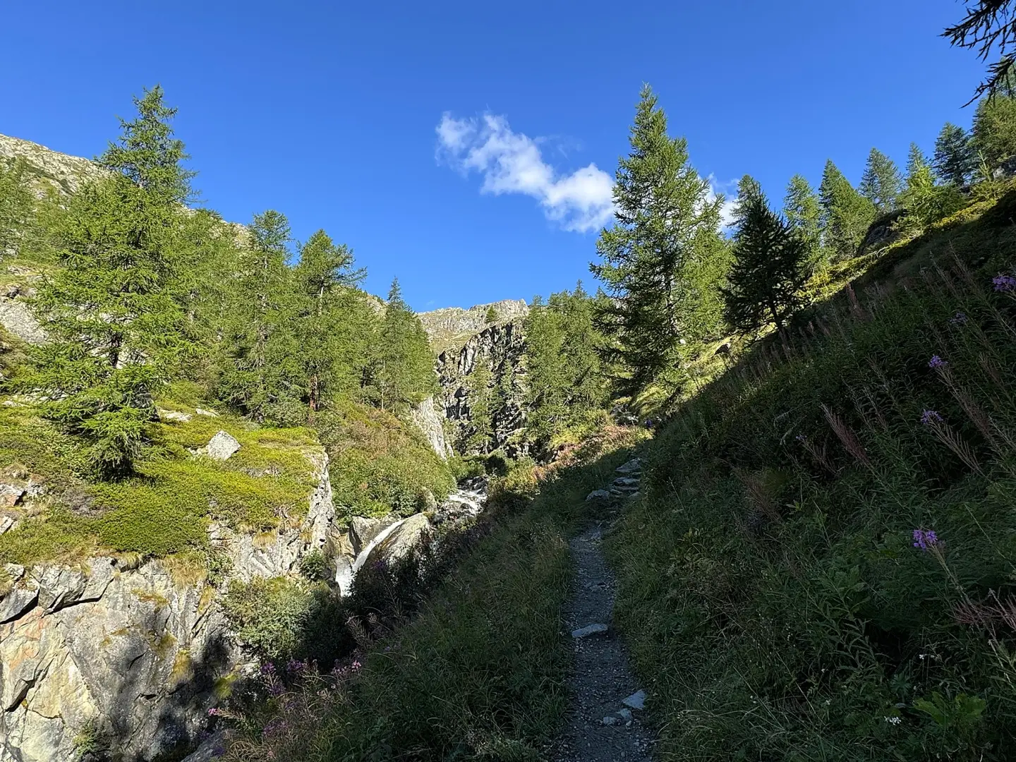
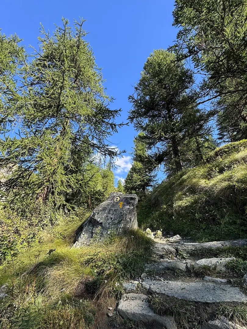
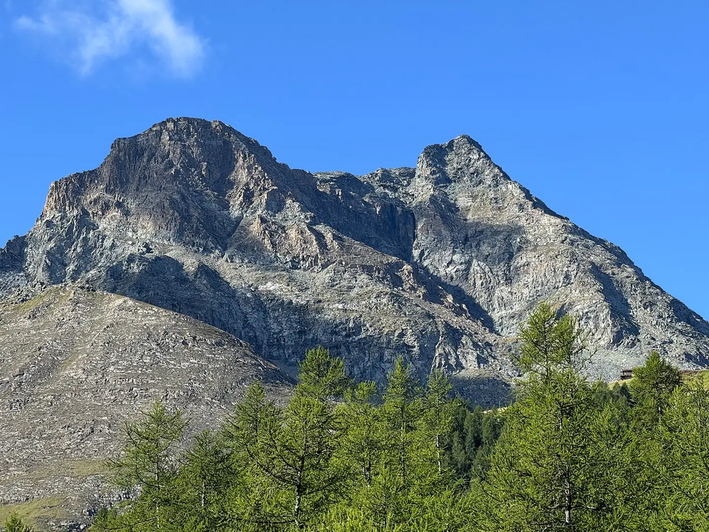
0h00' 0.00km From the car park, follow the road uphill to its end and, just before the small bridge over the Lys stream, take the farm track on the left, which runs along the left bank of the stream, following the signposts. Follow the stream to the end of the road, then take the path on the right which climbs up the valley alongside the stream. As you approach a gorge, enter the larch forest (Larix decidua) and climb a short slope in the valley, with views of the rocky faces of the Rothorn. Emerge from the woodland and, with the mountain pasture now visible, climb the final stretch to the huts of Alpe Courtlys (1,993 m), then continue briefly to the grassy hillock situated slightly higher up, from which you can look out over the valley below. [0h20’T1] 1.34km
The return journey follows the same route [0h15’T1] 1.34 km (5 m D+) (171 m D-).
Visitor information
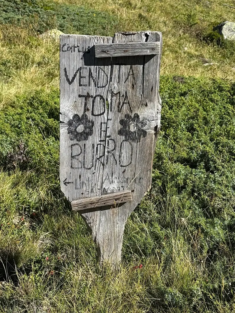
When the mountain pasture is in use during the summer months, you can buy dairy products from the farm that manages it at the mountain huts.
Points of Interest
Collections
Photo gallery
Comments (0)
Sign in to leave a comment