Bredy Bivouac, from Vens

Edited by:
Massimo Martini
Updated at: 14/07/2026
Access
Road directions
Leave the motorway at the Aosta Ovest junction and join the regional road , following it for 950m (0.95km). At the roundabout, turn left towards Courmayeur onto the state road and drive through the village of Saint-Pierre for 2.6 km (3.55 km). Keep right onto Rue Corrado Gex, continuing on the regional road for 330m (3.88km), then turn right at Località Pommier, continuing on the for 3.5km (7.38km). Turn left, staying on the for a further 4.6 km (11.98 km) until you reach the junction at Vens. Turn left onto the regional road at Cerellaz and drive uphill for 7.95 km (19.93 km), passing through the villages of Chez Louvitoz, Clavel and Cerlogne. Leave the and join the local road, continuing for 84 metres (20.01 km) to the hairpin bend, just beyond the village of Vens, where the car park is located.
Car park
Just beyond the village of Vens, at a hairpin bend, there is a free 🅿️ car park with around a dozen spaces.
Access by public transport
To reach the starting point of the route, you will need a private vehicle, as Vens is not served by public transport.
Distance and journey time
🕒 Journey time: 30 minutes
📏 Distance: 20.1 km
GPS navigation
Important information
The directions provided were verified on the date the route was mapped. Before setting off, we recommend checking for any changes to the route or road conditions. For up-to-date information, please consult Google Maps or Apple Maps.
Introduction
Ascent to the Claudio Brédy Bivouac (2,528 m) with return via the same route, which runs the entire length of the Vertosan Valley in the municipality of Avise, in the upper Aosta Valley, starting from the hamlet of Vens (1,737 m).
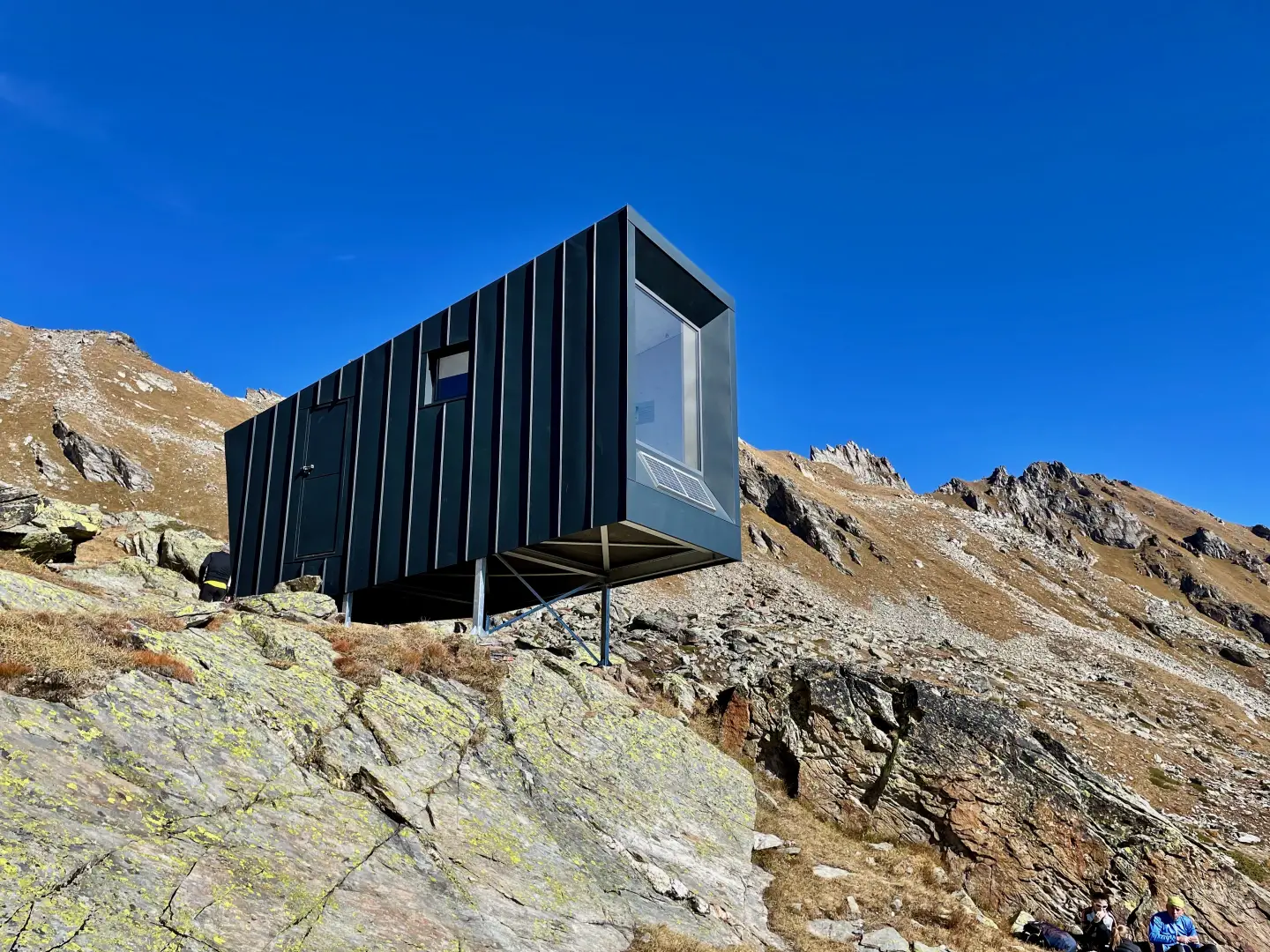
The route begins with the historic and nature trail of the Ru de Vens, an ancient irrigation channel that crosses the southern slope of Mont Joux halfway up the hillside, featuring a short but secured and partially exposed section. Once past the fir forest, the route stretches across the long pastures of the Vertosan Valley, amongst mountain pastures and — in the upper section of Trail 11 — expanses of rhododendrons, before climbing more steeply to the grassy terrace at the base of Testa di Serena and Punta Valletta. The destination is the Claudio Brédy Bivouac, inaugurated in October 2021 in memory of the politician and former mayor of Gignod who died in the mountains in 2017: a contemporary structure of irregular shape, anchored to a rocky outcrop with six steel pins and featuring a south-facing glass wall that frames the silhouette of Gran Paradiso. Adjacent to the bivouac are the Dziule Lakes, documented in 14th-century archival sources in connection with a legal case involving the community of Avise.
The route is accessible from July to early October. The terrain presents no technical difficulties — it is mainly grassy and follows marked paths, with signposting along the entire route — but the overall length requires adequate physical fitness. There is no mobile phone coverage for most of the Vertosan Valley; in summer, it is possible to shorten the trip considerably by driving to Jovençan along the farm track from Col de Joux.
Description
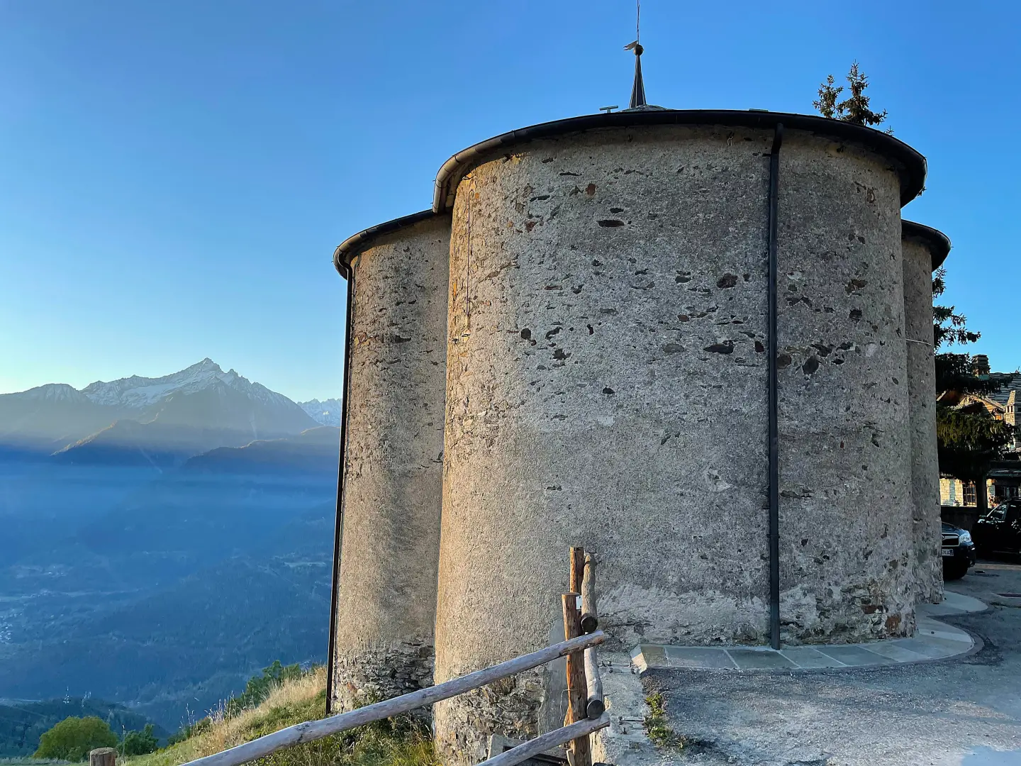
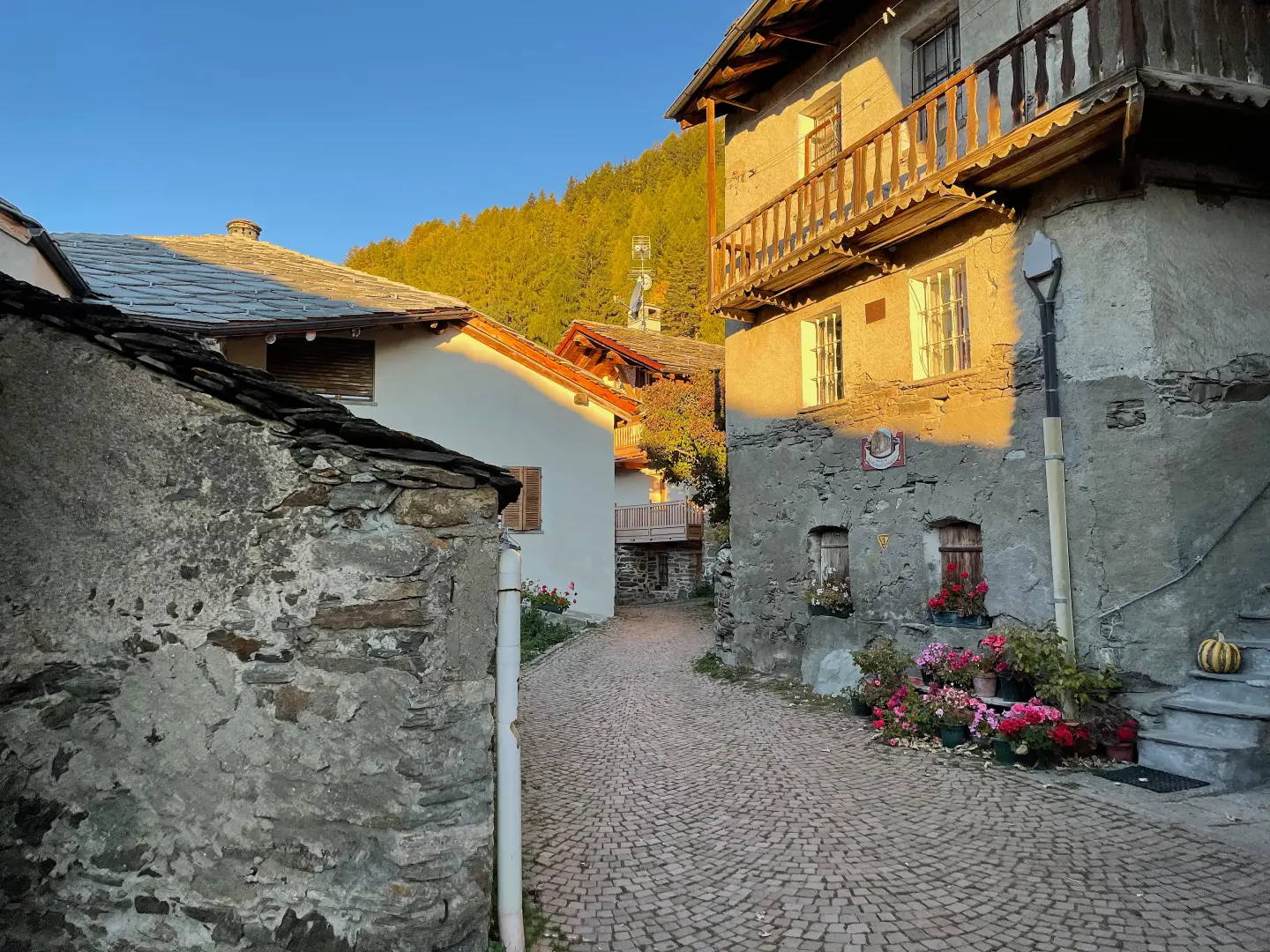
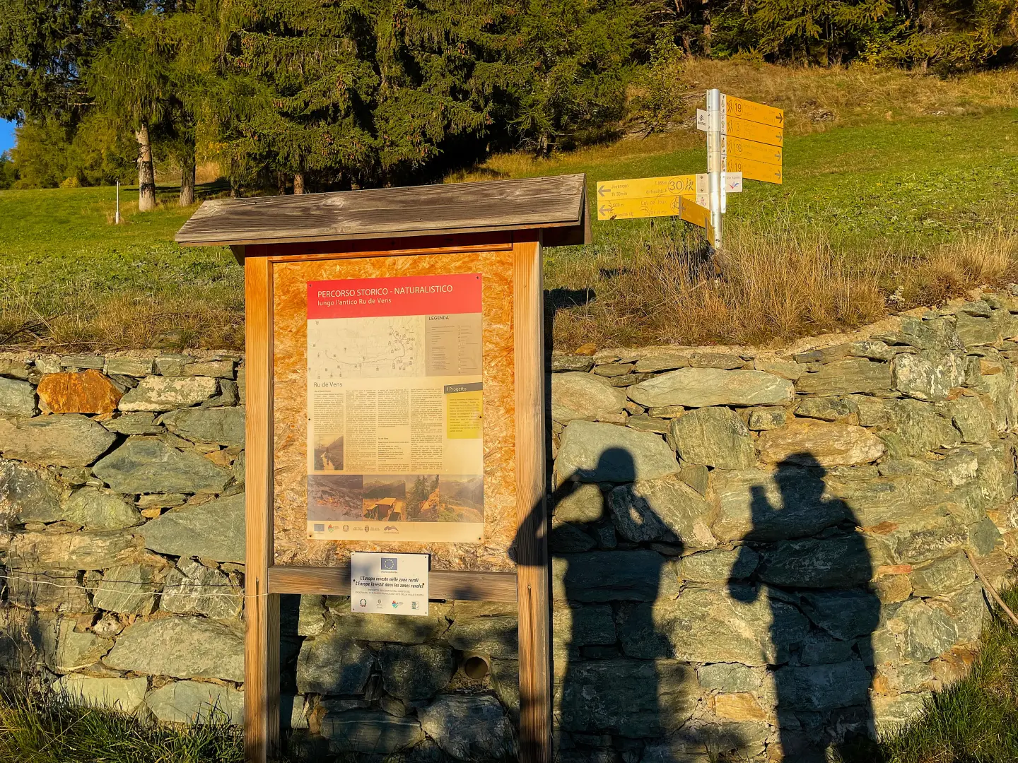
0h00' 0.00 km From the car park, head towards the chapel dedicated to Saints Leonardo and Bernardo until you reach some signposts and a panel showing the routes in the area. Turn right and take a narrow path that winds through the village amongst the characteristic houses. Once past the last houses, turn right and follow the path briefly uphill until you reach a junction with a signpost (1,750m).
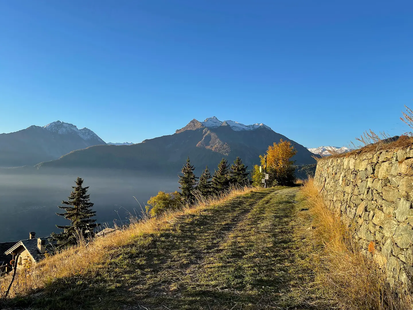
0h05' 0.14km Continue to the left, following the signs for Jovençan along the Ru de Vens historical and nature trail, which, is almost flat and winds round the hill of Mont Joux, proceeding halfway up the slope until you reach a new junction (1,767m) for the Col de Joux.
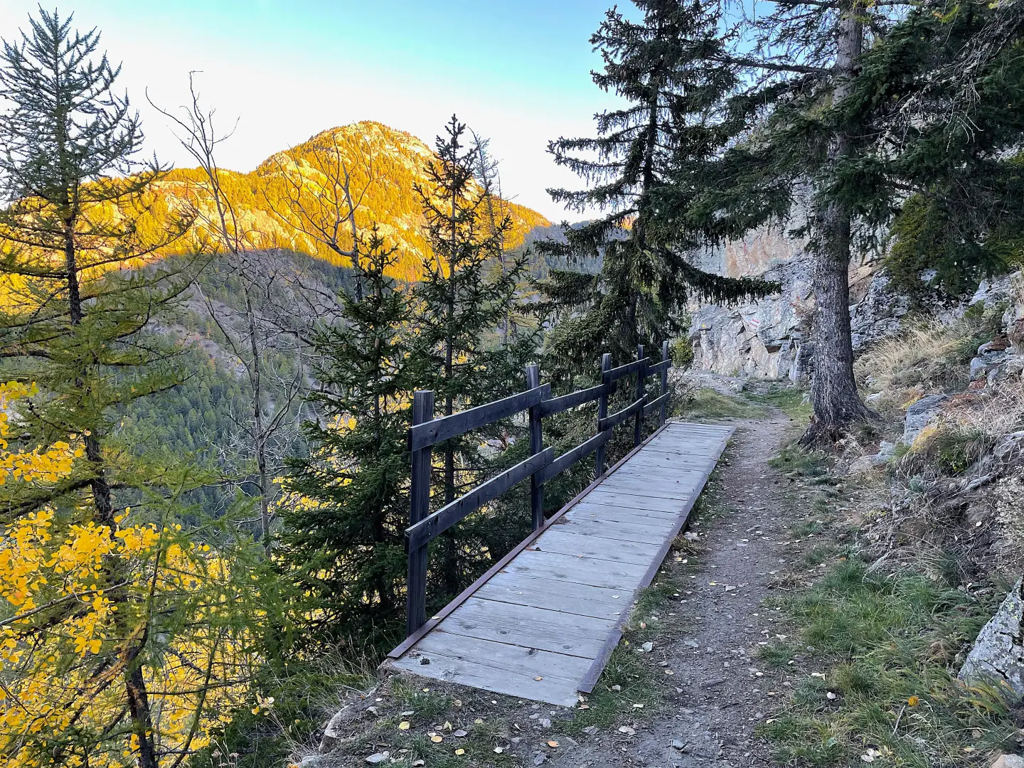
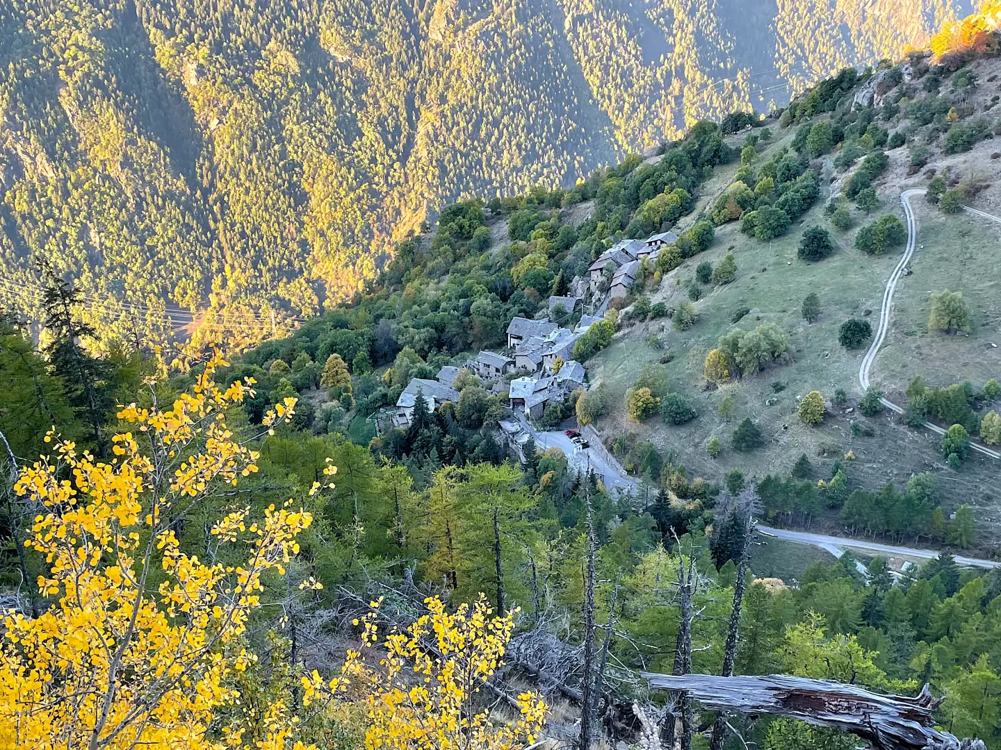
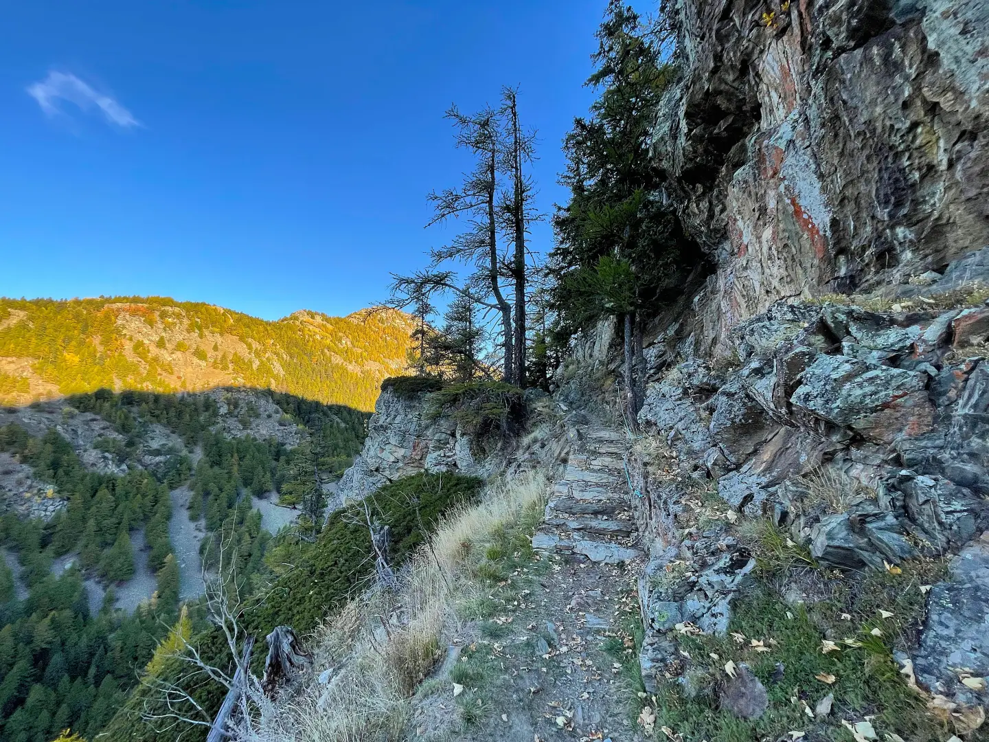
0h10' 0.52 km Continue straight on, ignoring the path, along the route that runs alongside the pastures with a view of the peaks of the lower Valgrisenche. The path bends slightly to the right, following the slope until it reaches a wooden footbridge and, a little further on, a viewpoint overlooking the village of Vedun below. You will come to a short exposed section, equipped with blue fixed ropes. Once past the secured section, tackle a short rocky stretch, made easier by the presence of some stone steps. The path then widens and levels out as it enters the fir forest until it reaches a new junction for the Col de Joux (1,790m).
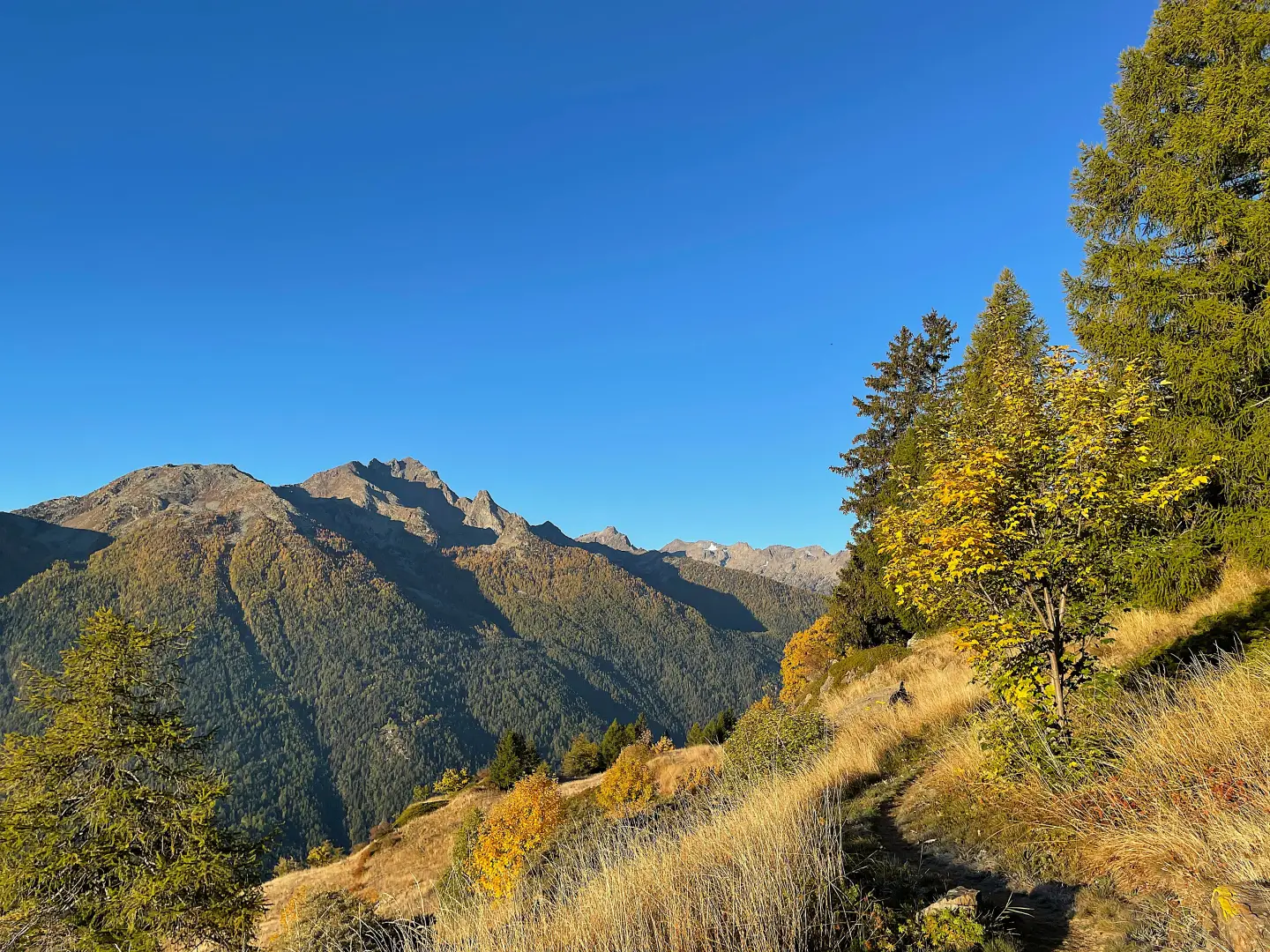
0h30' 2.10km Ignore the second junction with the path to Col de Joux and carry on straight ahead through the woodland until you emerge onto grassy ground, with a view of the pastures of the Vallone di Vertosan.
2h00' 6.62km Continue slightly uphill across grassy terrain to a junction. Ignore the turn-off to the left for Col de Bard (2,178m) and Col Fetita (2,557m) and continue straight on along the farm track, which is now wider. [to be completed: elevations of Col de Bard and Col Fetita from field data, not verified against IGM/CTR maps]
2h05' 6.89 km Continue along the farm track towards Jovençan di Vertosan until you reach a junction just before the Lo Grand Bau bar and restaurant.
[2h11’T2] 7.13 km Turn right onto path , leaving path towards Jovençan, and begin to climb gradually. After passing a few hairpin bends, leave the white farm track and turn right onto a narrower dirt track, amongst a stretch of rhododendrons.
[2h33’T2] 8.01km Climb through the low vegetation on a gradually steeper slope, crossing a few streams, until you reach a junction. Ignore the path on the right towards Col Citrin (2,482m) and keep left, continuing on . [to be completed: Col Citrin elevation from field source, unverified]
3h12' 9.54km Pass the ruins of Alpe Berrio Nero and continue climbing steadily. Pass a rocky spur to reach the terrace where the Claudio Brédy Bivouac (2,528m) stands, near the Dziule Lakes [4h19’T2] 11.47 km (866 m ascent) (108 m descent).
The return journey follows the same route taken on the ascent [3h01’T2] 11.47 km (108 m elevation gain) (866 m elevation loss).
Places of Interest
Chapel of Saints Leonardo and Bernardo
Vens
Dziule Lakes
Claudio Brédy Bivouac
Collections
Photo gallery
Comments (0)
Sign in to leave a comment