Passage du Grand Neyron, from Pravieux
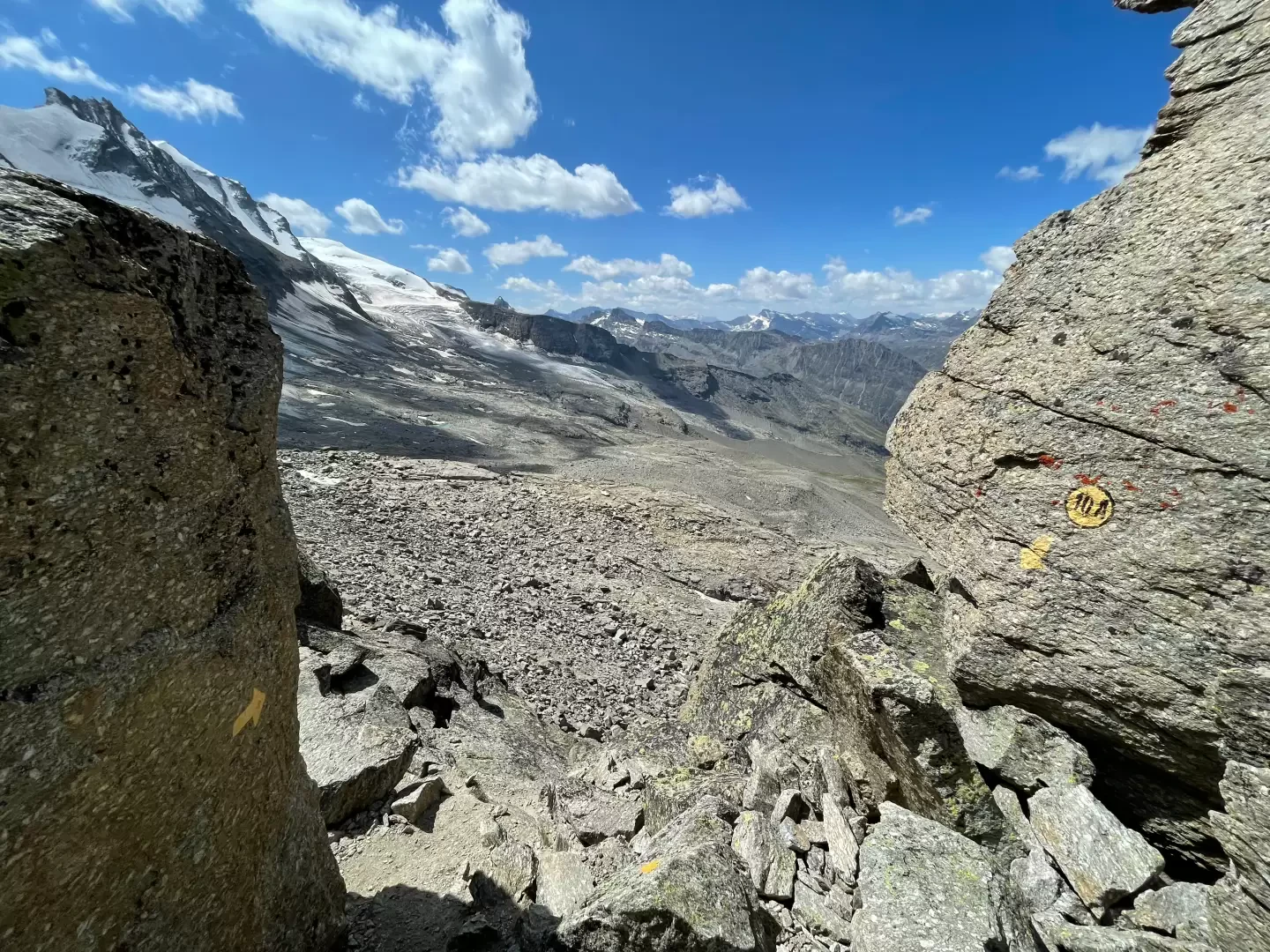 Photo by
©2021 Massimo Martini

Edited by:
Massimo Martini
Updated at: 21/11/2026
Access
Road directions
Leave the [A5] motorway at the Aosta Ovest toll booth and keep left, following the signs for Aosta – Saint-Pierre. At the roundabout, after 1.0 km (1.0 km), take the second exit and join the . Continue along the main road, passing through the centre of Saint-Pierre, until you reach the roundabout with the Gran Paradiso National Park sign, after 4.3 km (5.3 km in total). Take the first exit and continue on the for 1.4 km (6.7 km in total) until you reach the junction for Introd, Rhêmes-Saint-Georges, Rhêmes-Notre-Dame and Valsavarenche. Take the junction and, at the next roundabout, after 0.7 km (7.4 km in total), take the first exit onto the towards Valsavarenche. Follow the regional road past the village of Introd and drive up the hairpin bends to the junction for Val di Rhêmes (), after 3.9 km (11.3 km in total). Keep left and continue on the , passing through Bien, the main village of Dégioz, Tignet, Bois de Clin and Eaux Rousses until you reach the Pravieux clearing, after 19.3 km (30.6 km in total).
Car park
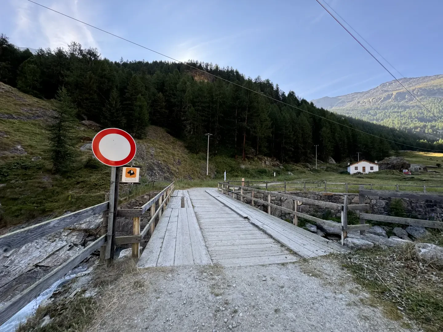
In Pravieux, on the left-hand side as you drive, there is a free 🅿️ car park for hikers and mountaineers heading to the Federico Chabod Mountain Hut and Gran Paradiso. This is the starting point of the route.
Access by public transport
The area is served by Arriva Italia scheduled buses departing from Villeneuve, with an average journey time of around 45 minutes. On weekdays, during the morning, the Allôbus Grand-Paradis on-demand service also operates between Villeneuve and Valsavarenche (information updated in October 2025). Up-to-date timetables are available at aosta.arriva.it.
Distance and journey time
🕒 Journey time: 43 minutes
📏 Distance: 30.6 km
GPS navigation
Important information
The directions provided were verified on the date the route was mapped. Before setting off, we recommend checking for any changes to the route or road conditions. For up-to-date information, please consult Google Maps or Apple Maps.
Introduction
A linear route that climbs from the valley floor of the Valsavarenche up the orographic right-hand slope to the Passage du Grand Neyron, an open pass between the foothills of Punta Money and the Neyron ridge, which connects the valley of the Federico Chabod Mountain Hut with the Levionaz valley.
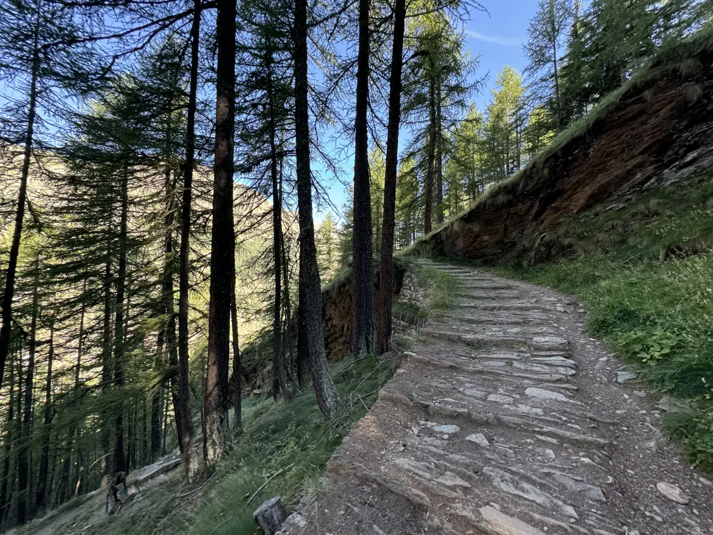
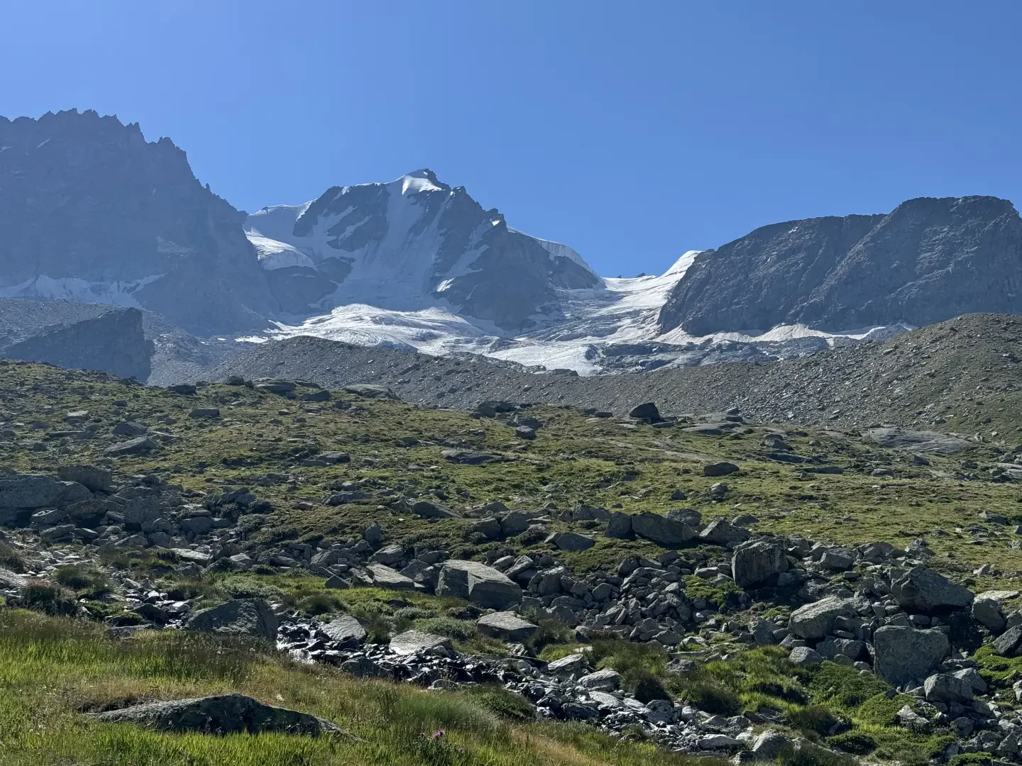
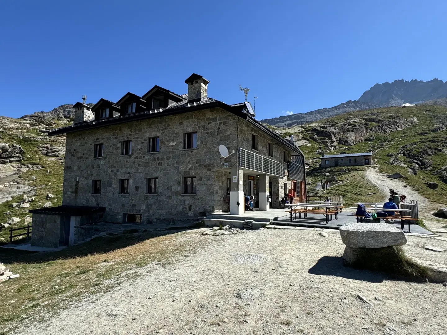
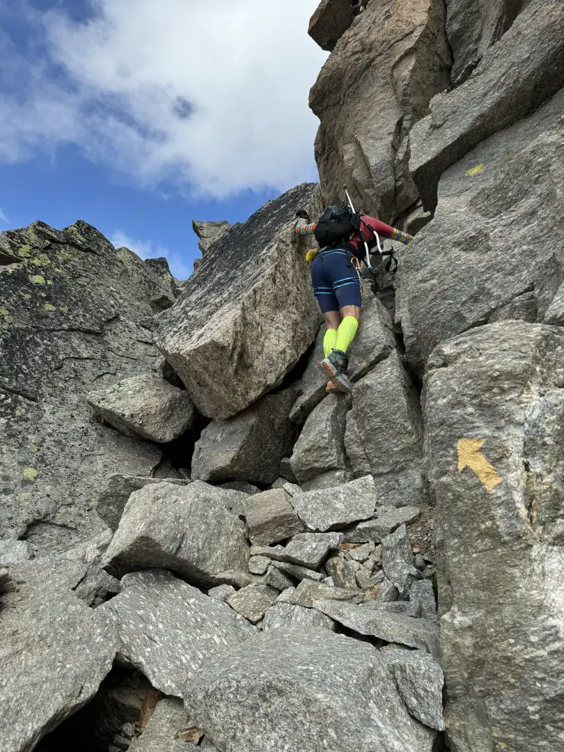
The ascent crosses the larch forest above Pravieux, passes the Lavassey mountain pasture and reaches the Federico Chabod Refuge, at the foot of the north-western face of Gran Paradiso. Beyond the refuge, the path, marked by yellow cairns and stone markers, leaves the pastures and enters a valley of moraines and scree slopes beneath Punta Money; the final stretch crosses a steep gully and a ledge before the notch, from which the Levionaz valley is visible. This section is rarely used.
Up to the refuge, the route follows a mule track and a clearly marked path. Beyond this point, the scree-covered terrain, the intermittent track across the scree slopes and the final gully require sure-footedness and experience of high-altitude environments, whilst the overall length and elevation gain make the route a full-day hike. The recommended time of year is late summer, when the scree slopes and gully are free of snow.
Description
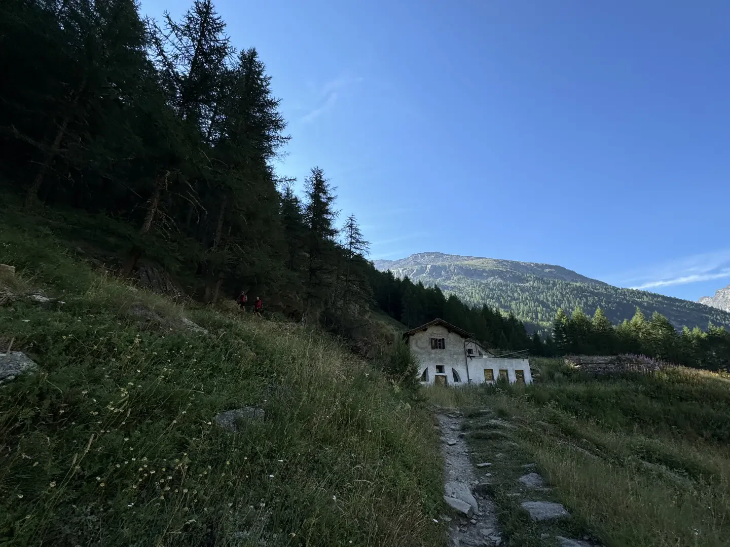
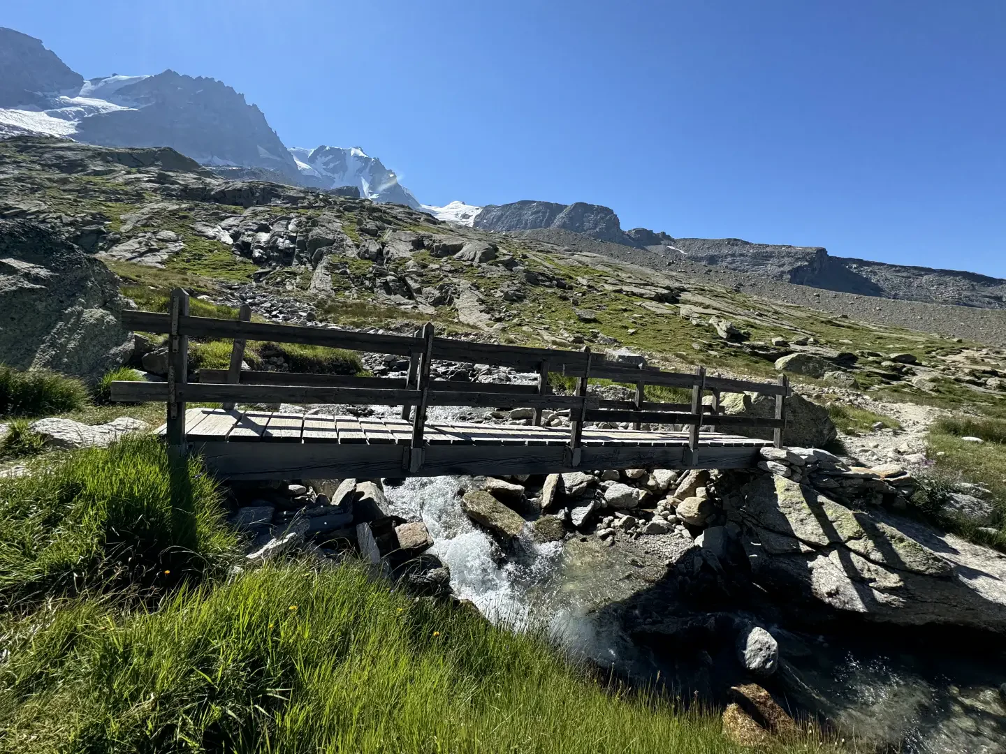
0h00' 0.00km From the car park, head towards the signpost indicating the local footpaths, cross the Torrent Savara via the wooden bridge and turn slightly right towards the hamlet of Pravieux dessous (1,835m), where the narrow road becomes a mule track.
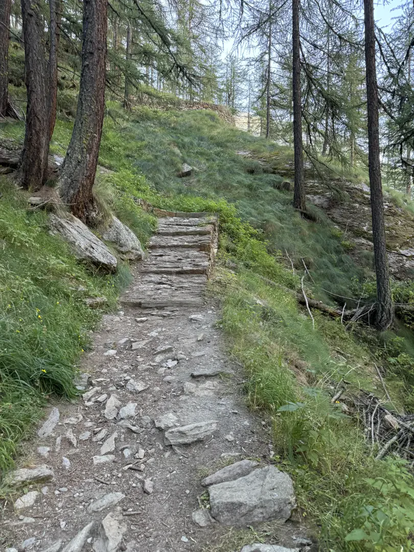
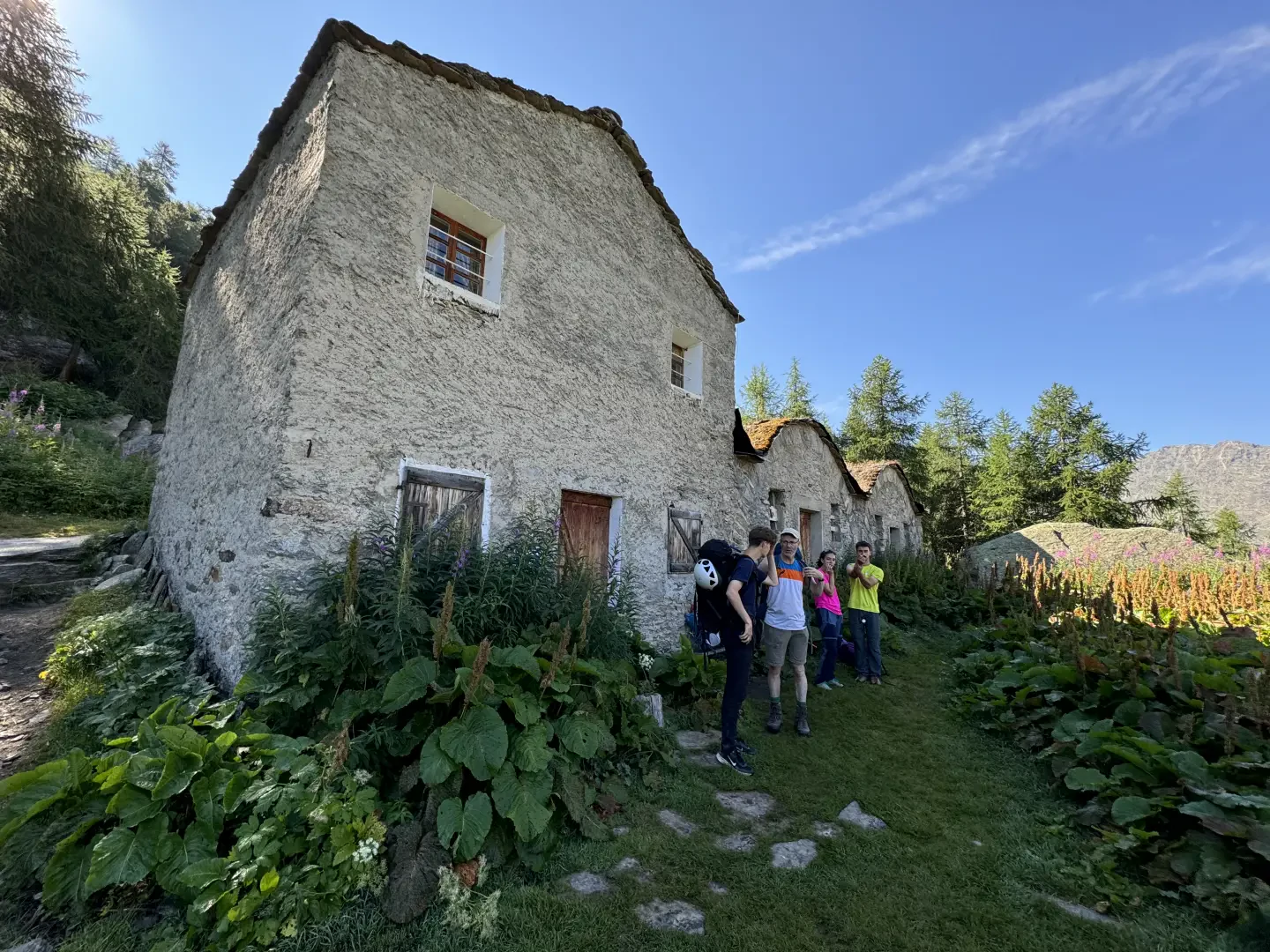
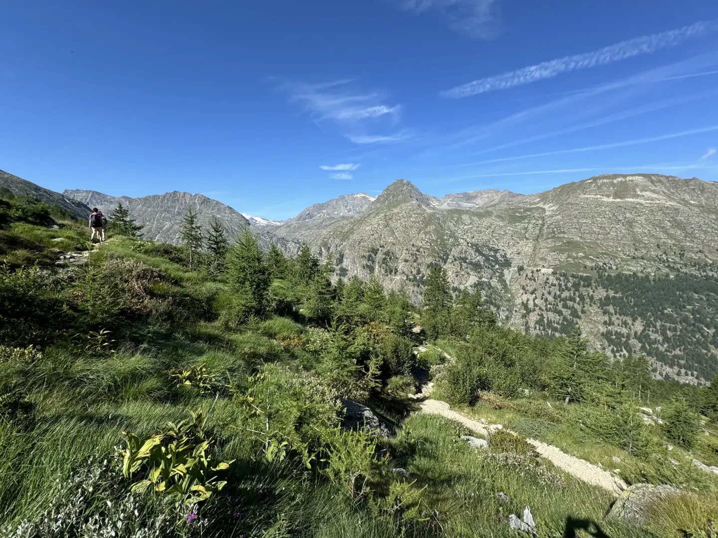
0h02' 0.12km Enter the larch forest (Larix decidua) and follow the mule track uphill to the Pravieux mountain pasture (1,869 m). Continue along a series of bends on a steady gradient: as you climb onto the ridge, the Gran Paradiso and Ciarforon come into view. Gradually emerge from the woodland until you reach the buildings of the Lavassey mountain pasture (2,194m).
1h00' 1.79km Follow trail marker towards the Chabod Mountain Hut. Climb up through the meadows above the mountain pasture, follow the stream and, via a long traverse, proceed until the refuge comes into view. Ignore the wooden bridge on the right, which leads to the Vittorio Emanuele II Mountain Hut; keep to the left and climb via a series of hairpin bends to the hilltop where the Federico Chabod Mountain Hut (2,750m) stands.
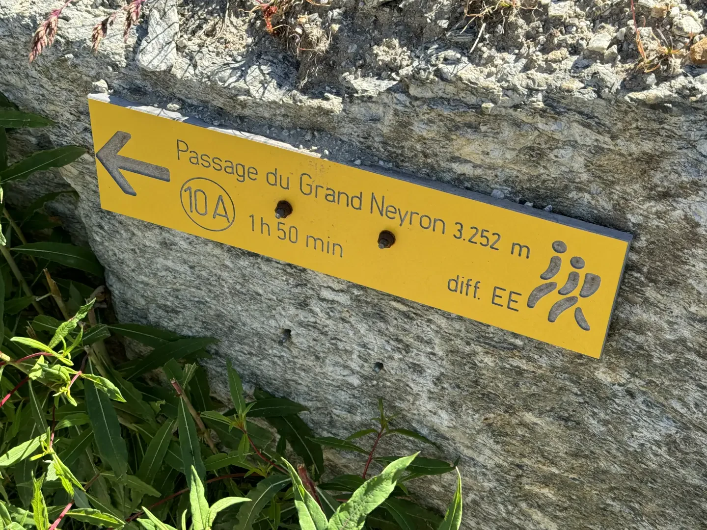
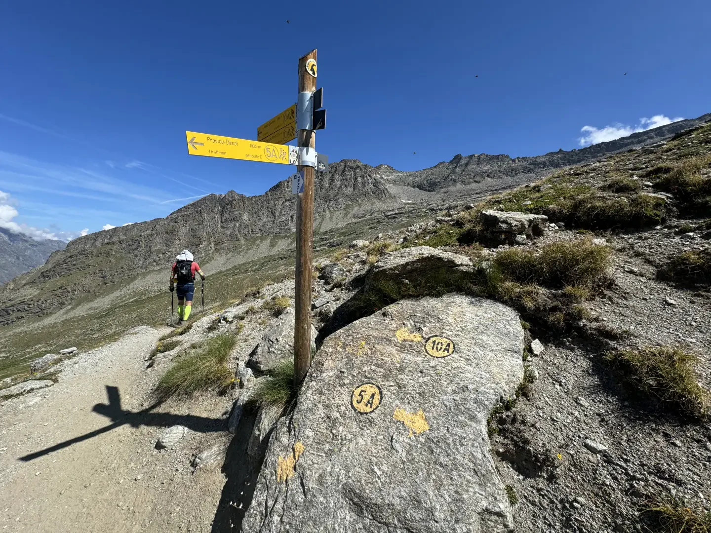
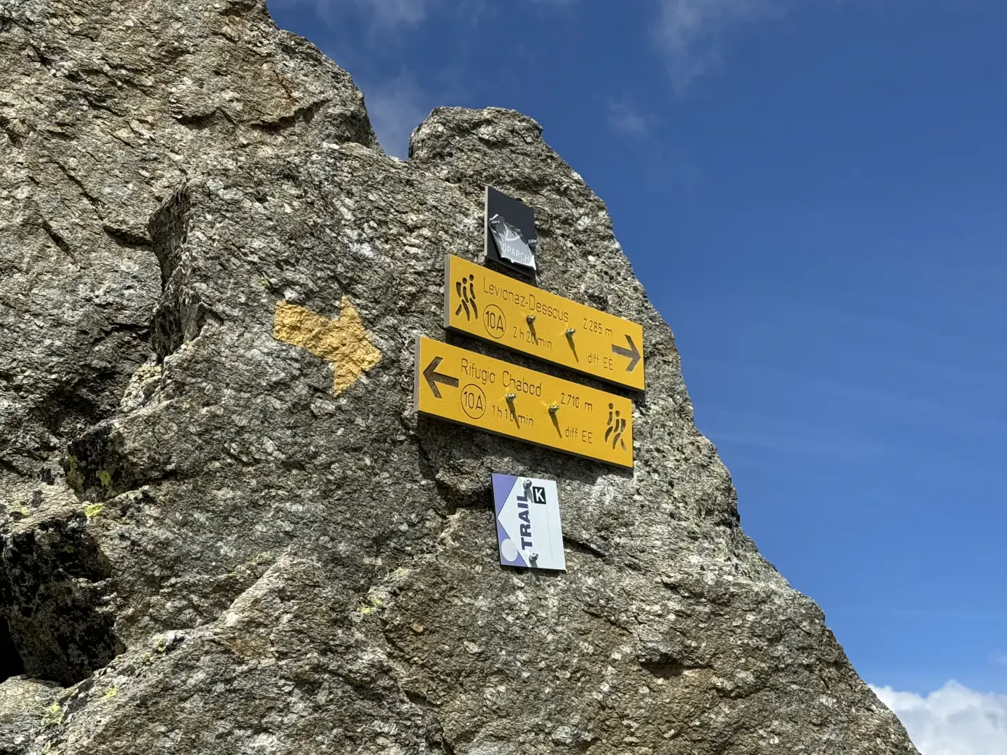
2h15' 4.36km (885 m ascent) (8 m descent) From the refuge, follow the track that climbs towards the winter hut, then turn left, following large cairns, until you reach a signposted junction (2,760 m).
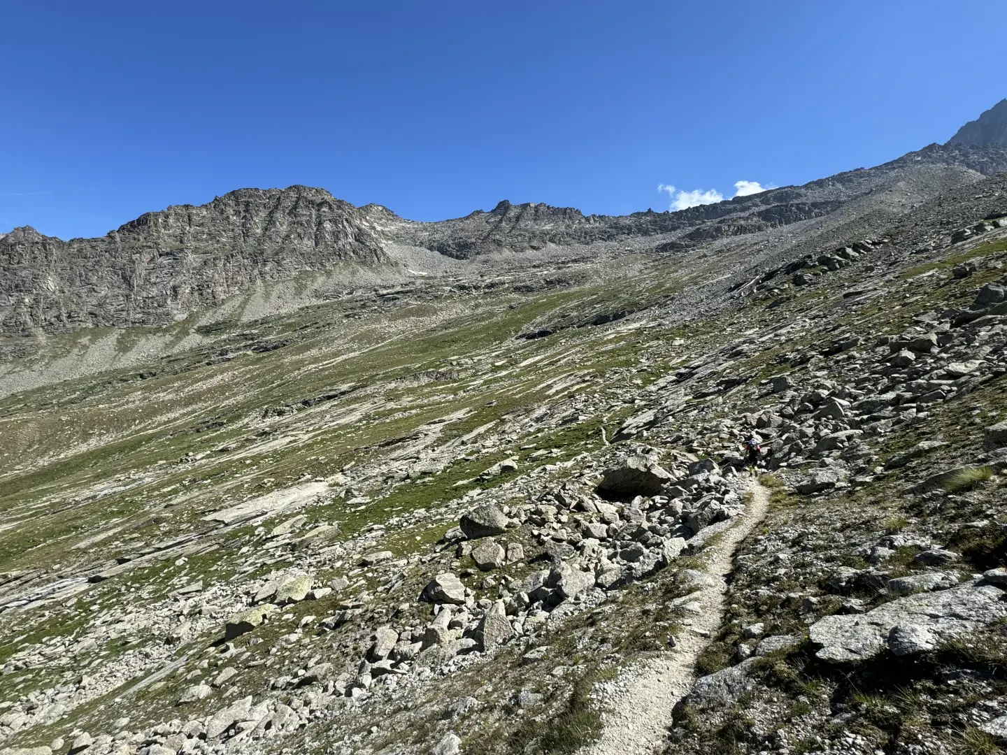
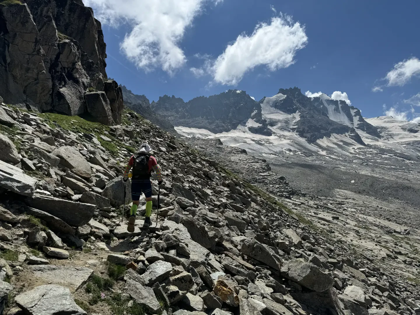
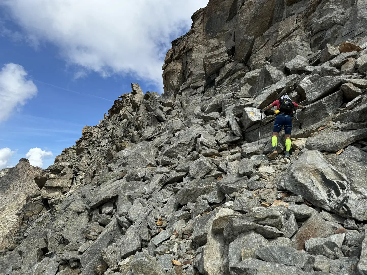
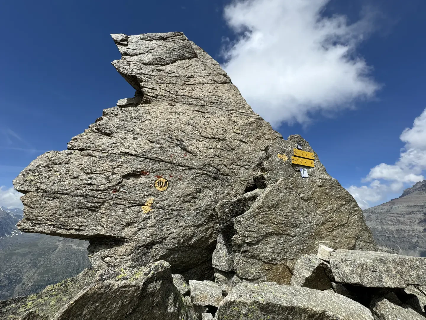
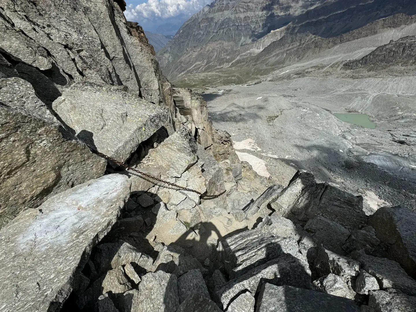
2h25' 4.74km (935 m ascent) (8 m descent) Continue straight on and enter a valley of moraines and small streams, crossing smooth slabs and short scree slopes. The path, marked with yellow cairns, leads beneath the foothills of Punta Money. Climb a grassy, scree-covered slope via a series of hairpin bends, then traverse beneath a rocky bastion. Cross a wide gully and continue traversing over scree until you reach a large scree slope, which you must cross by finding passages between the boulders: on this stretch, the track is occasionally lost, but cairns and markings indicate the direction. Near the rocks, turn left, climb up a steep gully and ascend the ledge above. After a final short traverse, reach the narrow pass, overlooking the rocky crags of the Levionaz valley, known as the Passage du Grand Neyron ([to be completed]) 5h00' 8.02km .
The return journey follows the same route as the ascent, taking care in the gully and on the scree sections 3h30' 16.04km (78 m elevation gain) (1,499 m elevation loss).
Places of interest
Collections
hikes to the hills in the Aosta Valley
Photo gallery
Comments (0)
Sign in to leave a comment