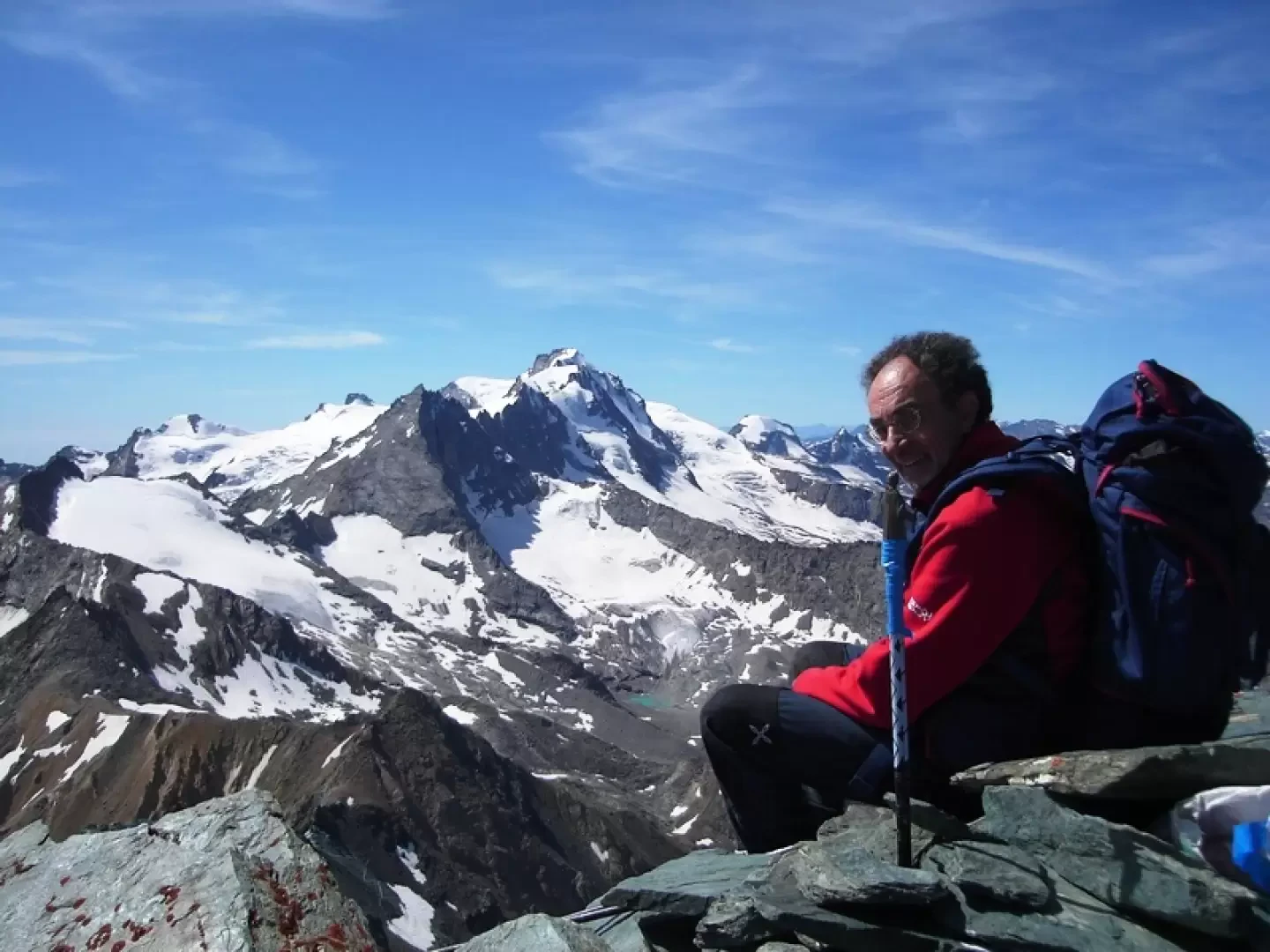
Punta Nera della Grivola, from the Valnontey car park

Edited by:
Benedetto Lorusso
Updated at: 07/06/2026
Access
Road navigation
At the motorway junction of Aosta West, enter the roundabout and take the second exit following the signs for / Cogne / Aymavilles. Continue on for 20.0km (20.0km) to the roundabout at the entrance to Cogne, where take the first exit onto Avenue G.F. Cavagnet (350m, 20.35km). Continue on Via Bourgeois (120m, 20.5km), then turn right onto Rue Grand Paradis. Follow Rue Grand Paradis for 2.4km (22.9km), continue on Frazione Valnontey for 210m (23.1km) and turn right to reach the car park.
Parking
At the end of the road is the 🅿️ car park in Valnontey, the access point to the Gran Paradiso National Park. Check on site for access conditions and any seasonal restrictions imposed by the park authority.
Access by public transport
The Valnontey car park can be reached by the Cogne urban circular line run by SVAP. The reference stop is Cogne Valnontey. The winter service runs every weekday and on public holidays, except 25 December and the summer period; the runs serving the Valnontey stop depart from Cogne Revettaz at 09:00, 10:05, 11:10, 12:40 and 15:00, arriving in Valnontey at 09:25, 10:30, 11:35, 13:05 and 15:25 respectively. For updated timetables please consult the timetable SVAP - Cogne Urban Line.
Distance and travel time
🕒Travel time: 35 minutes
📏 Distance: 23.5km
GPS navigation
Information note
The information provided has been verified as of the date of the survey of the itinerary. Before departure, it is recommended to check possible changes in the route or road conditions. Please consult Google Maps or Apple Maps for the latest information.
.Introduction
Description
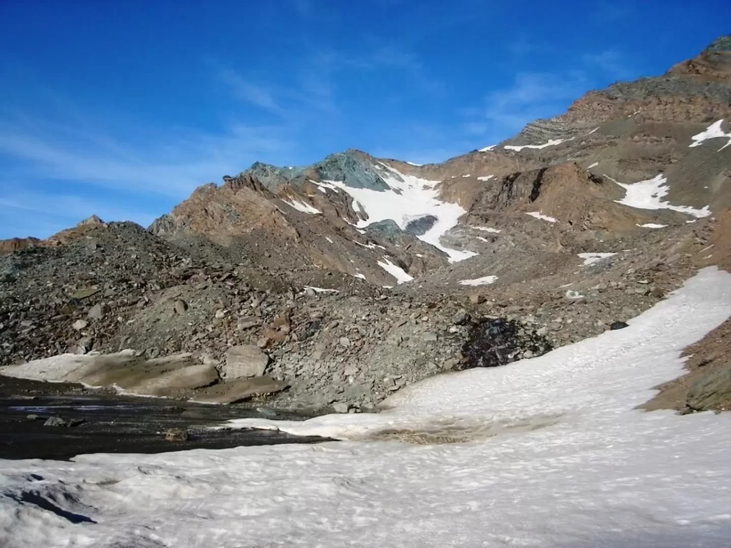
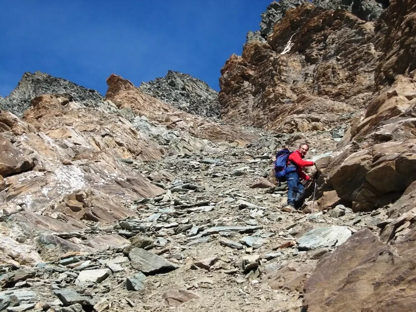
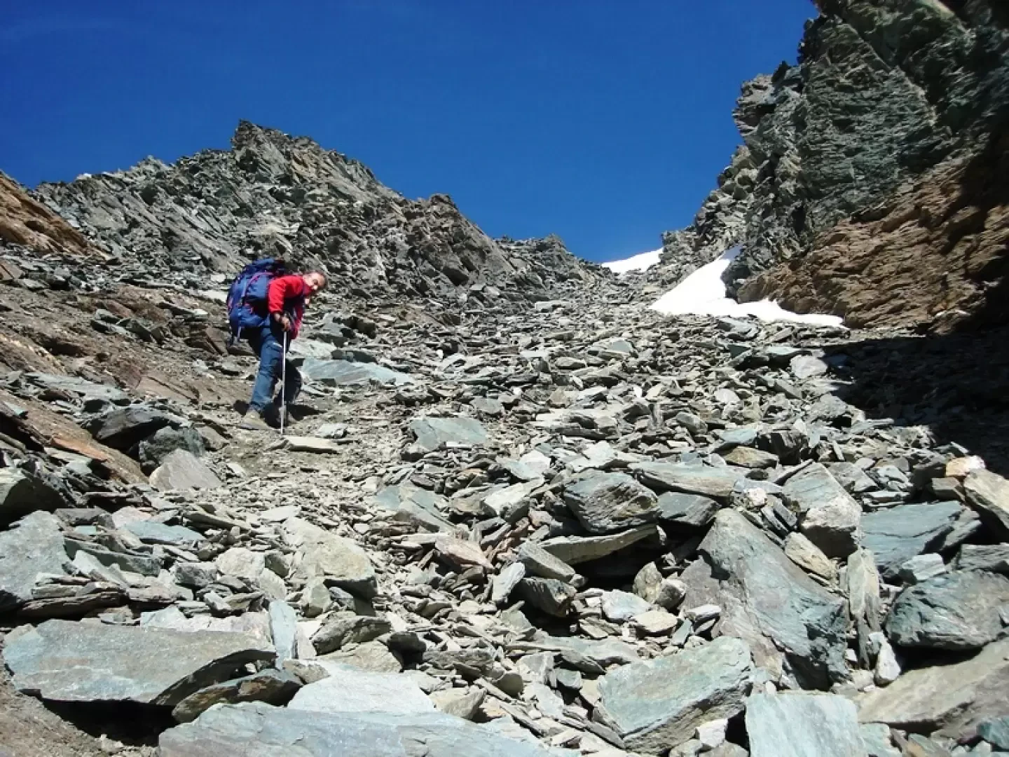
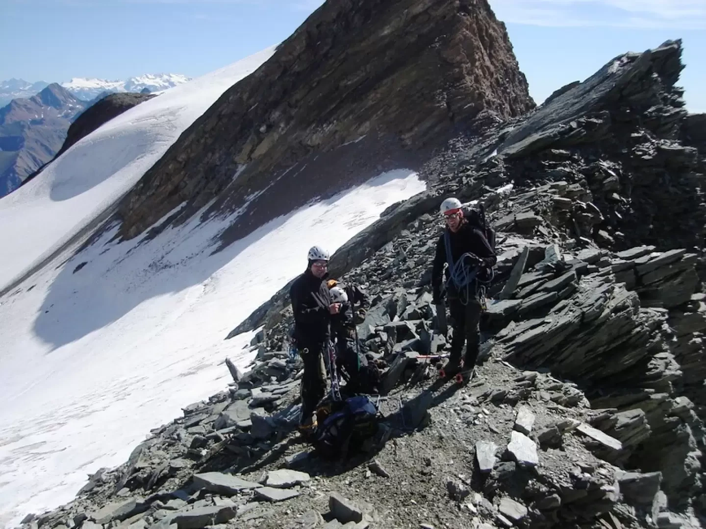
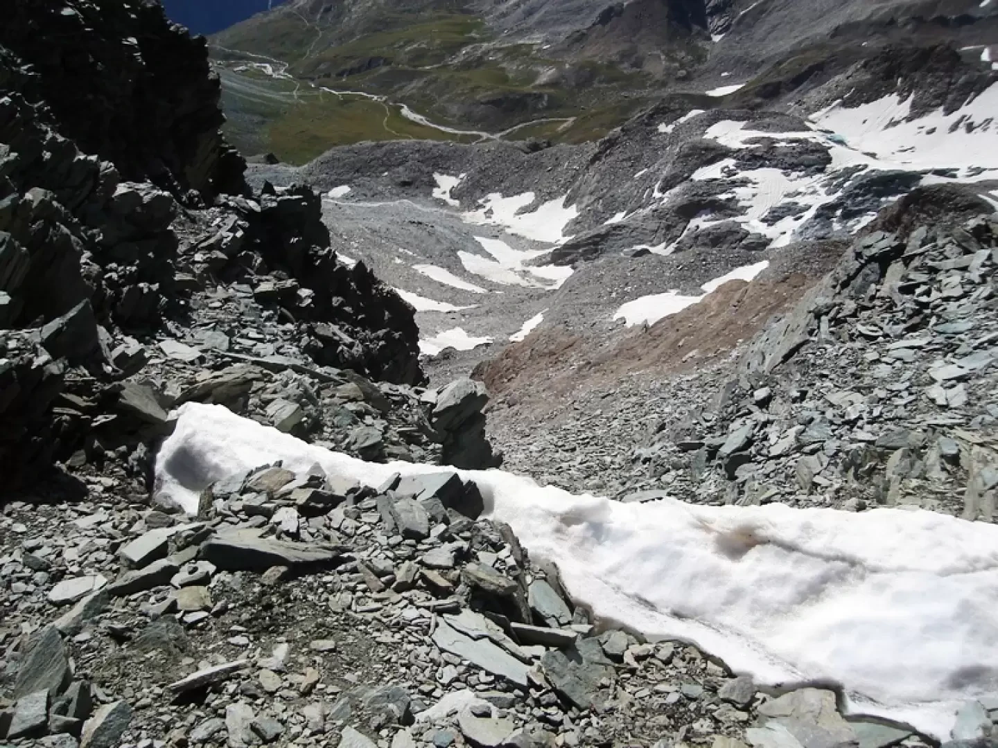
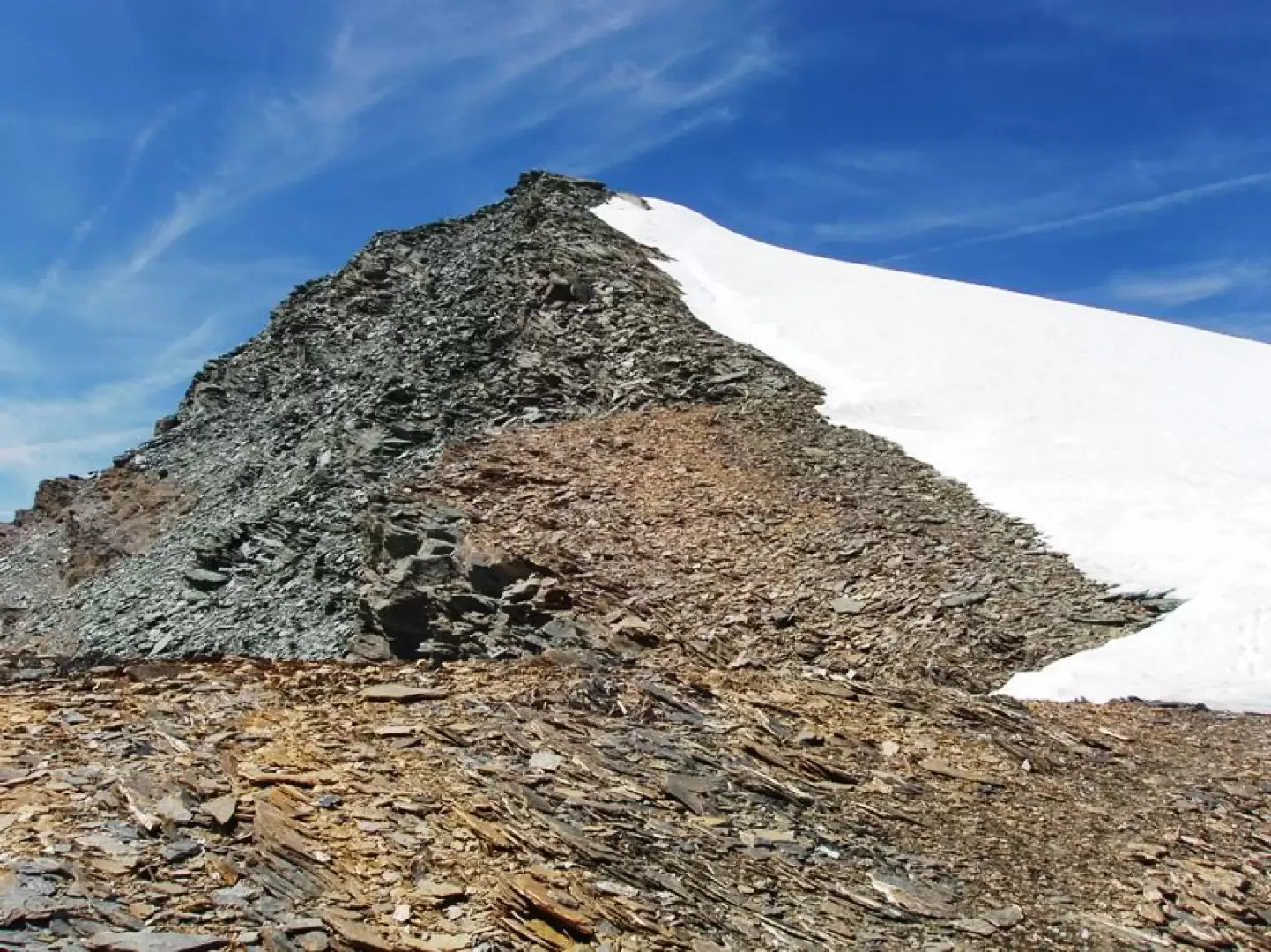
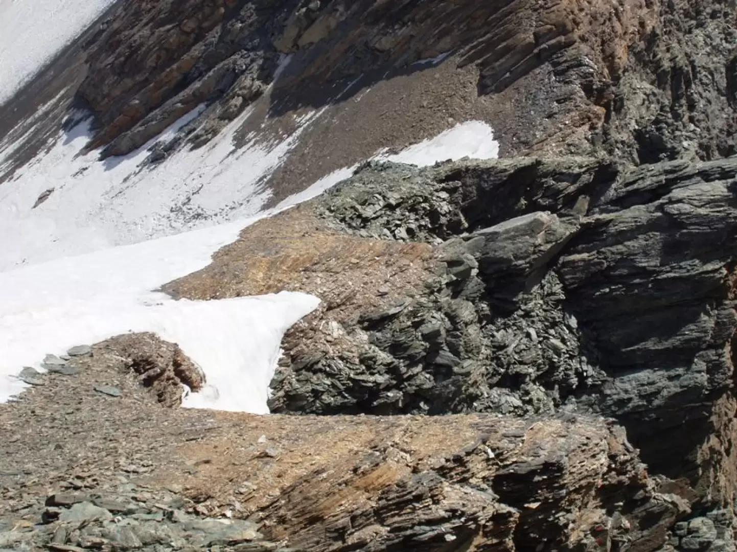
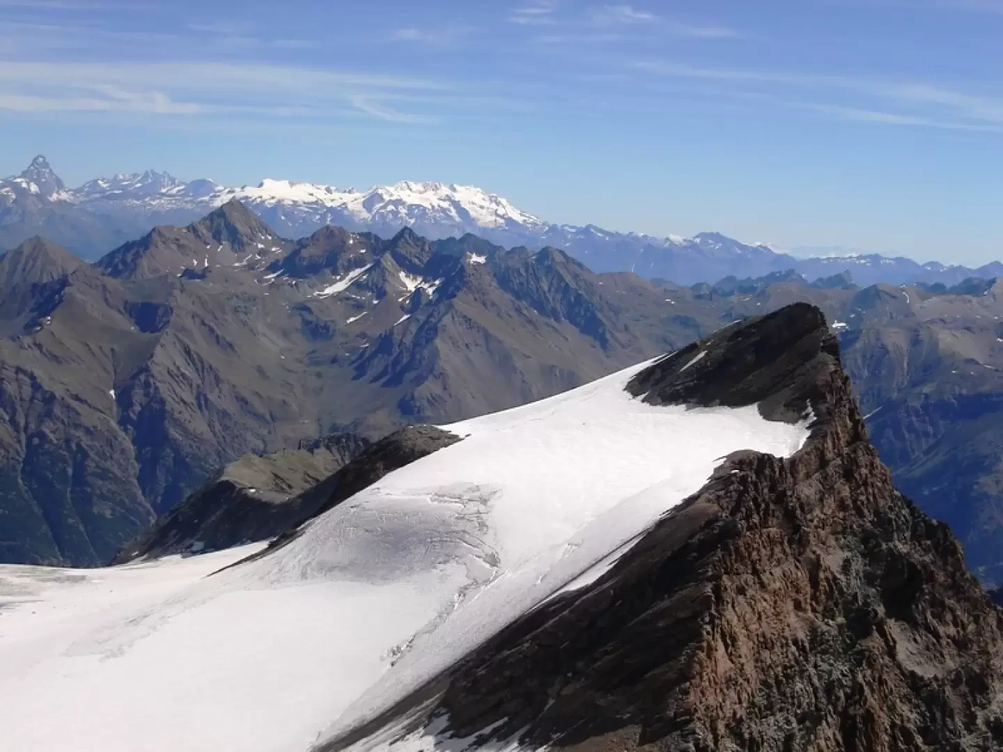
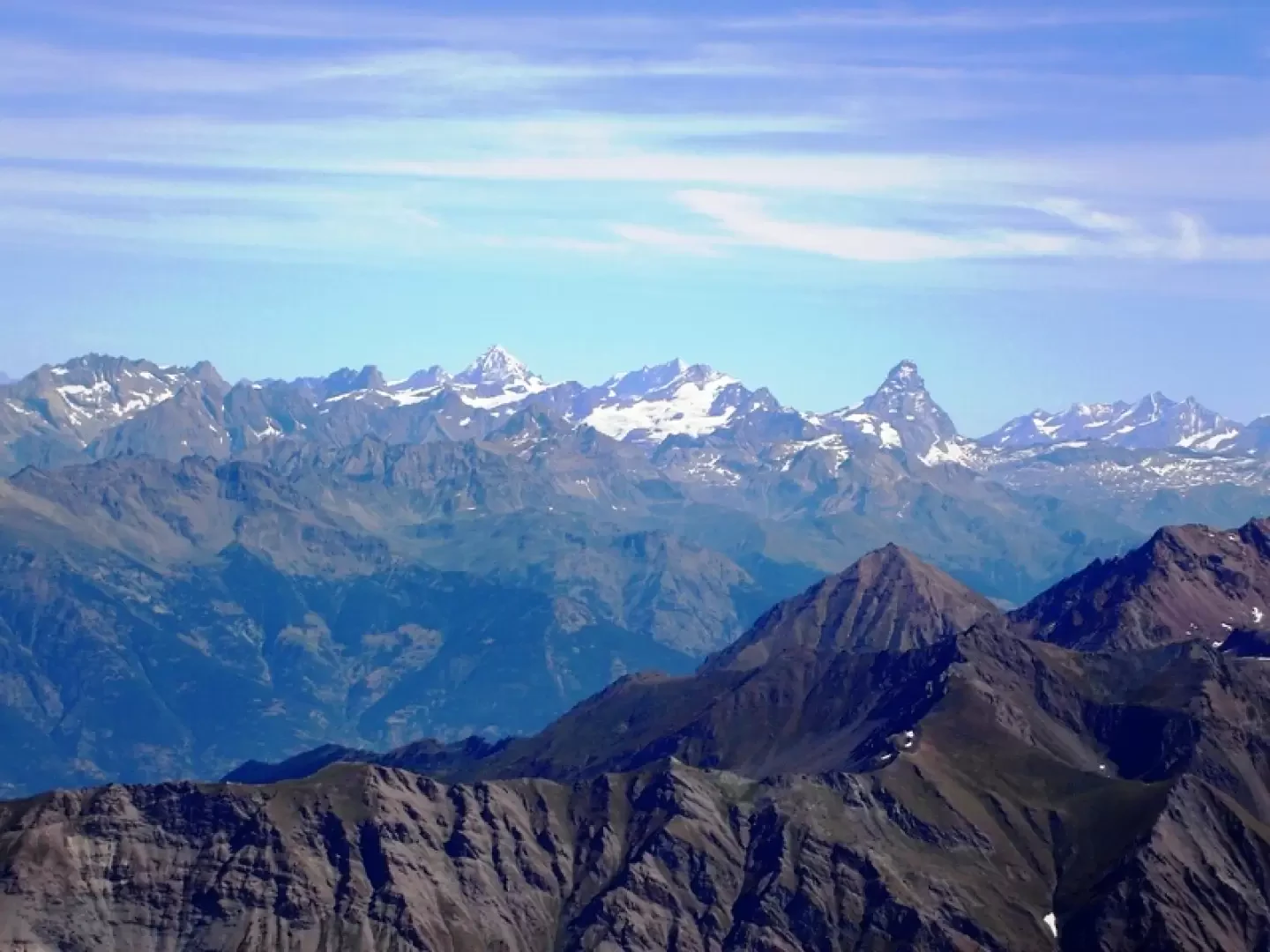
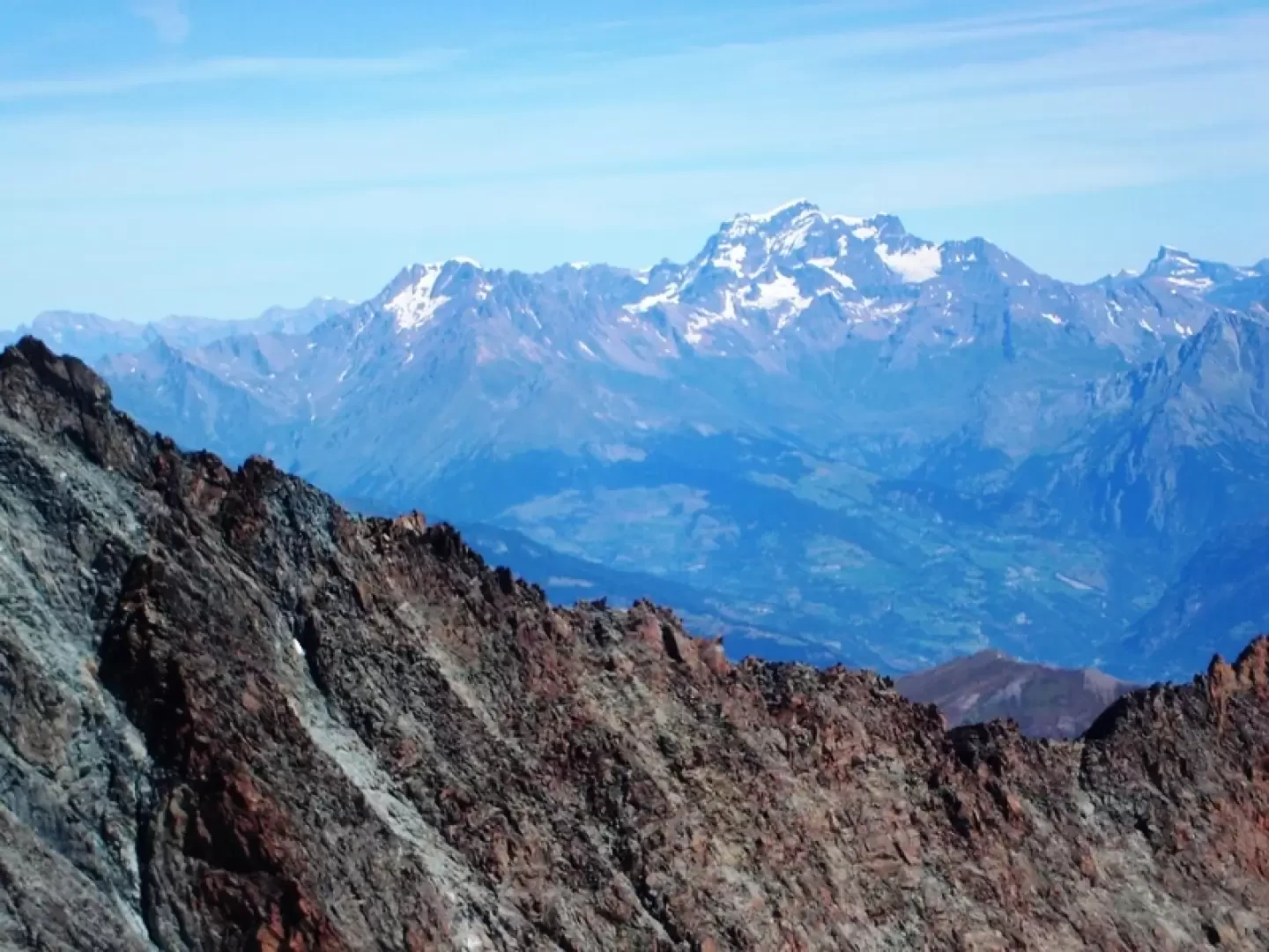
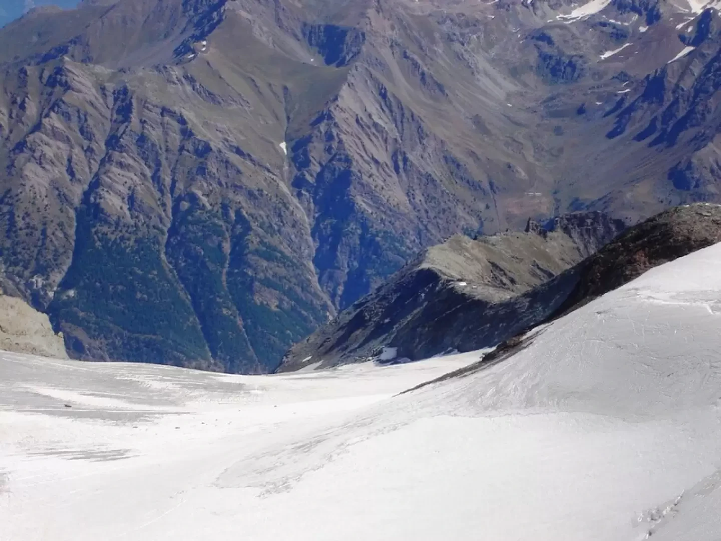
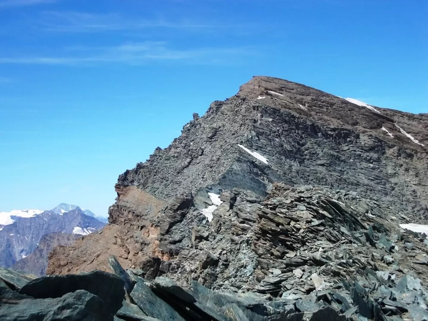
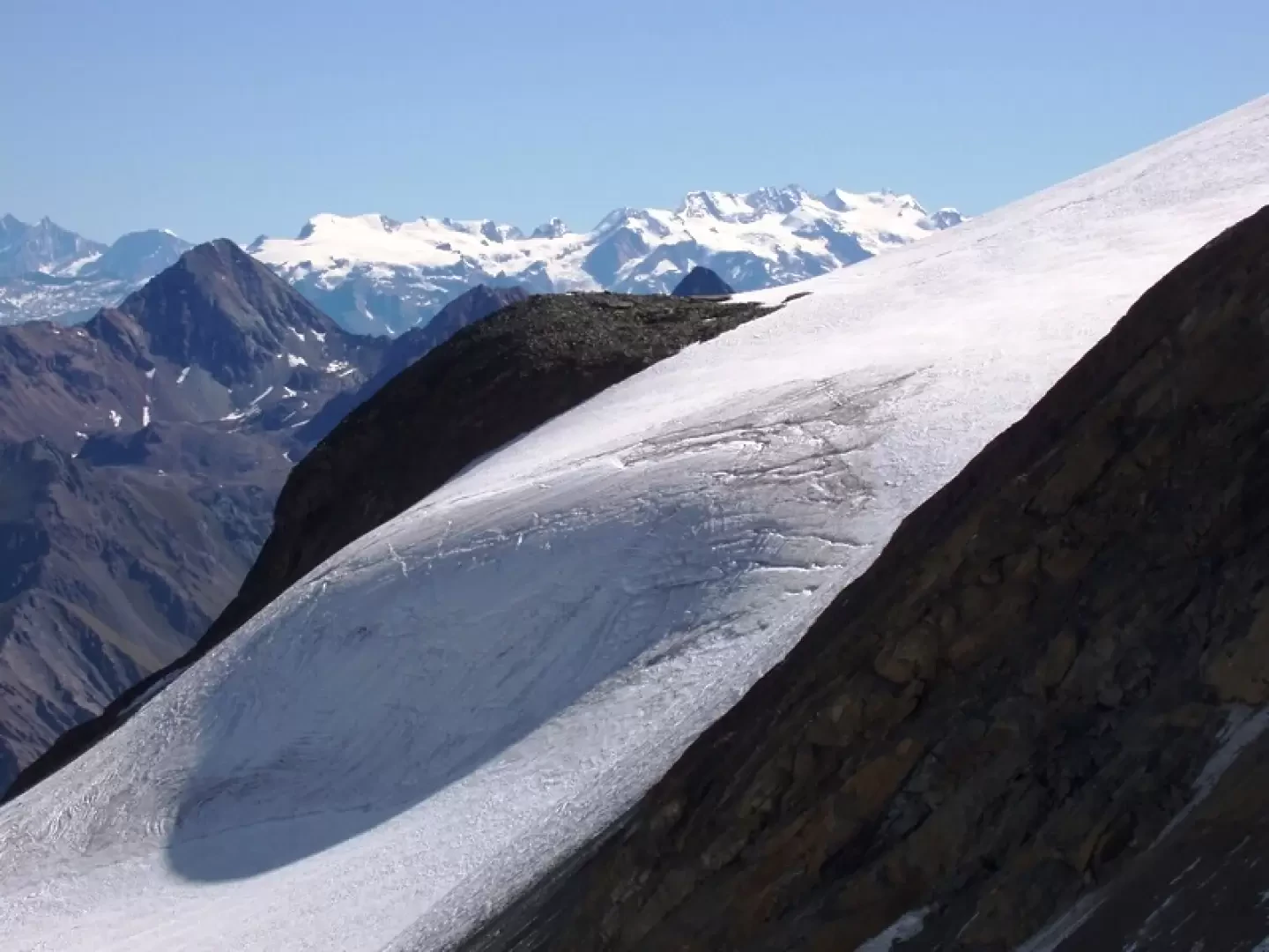
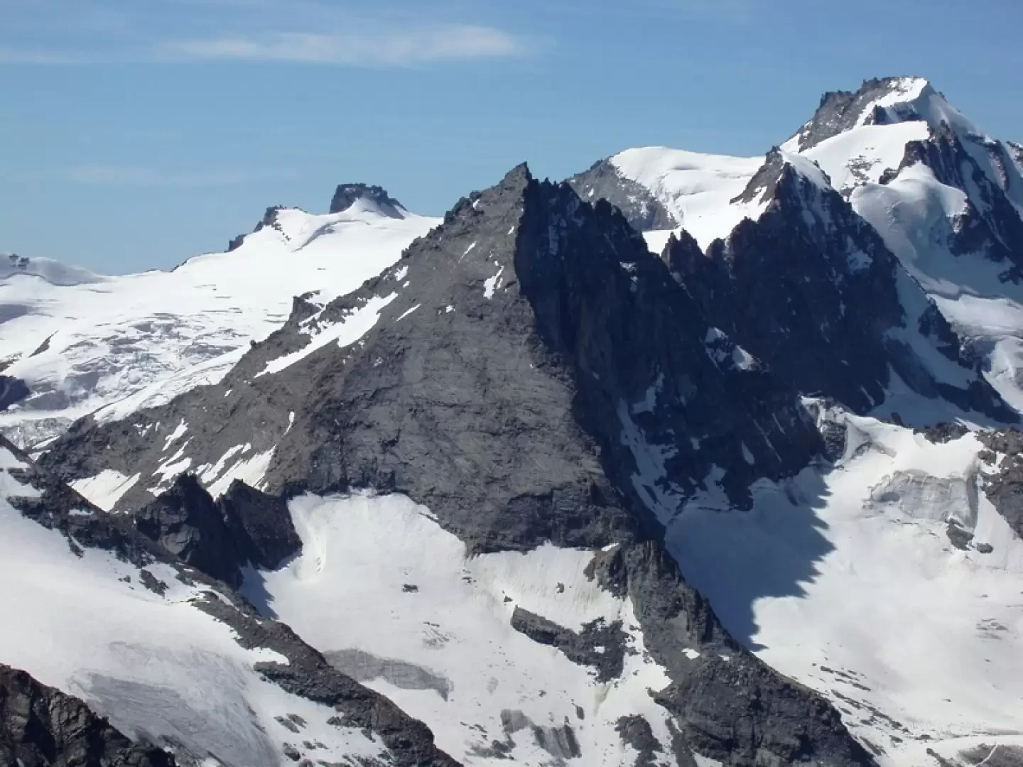
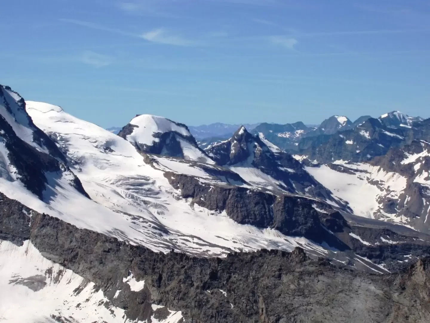
From Valnontey to the Vittorio Sella Refuge via mule track and path (2h30'). From the Sella, follow the path to the Col Lauson until the junction with the Col della Rossa path. The latter leads past the prominence that supported the now extinct Rossa glacier, where the path is abandoned. Turn left between debris and snow residues towards a track that can be seen cutting across the scree below the Rossa peak. Follow this track until below the vertical of the gully leading to the Nera pass, where it gets lost or confused with the descent tracks. Climb this section to the mouth of the gully, it is the most tiring section, probably the best route is on the left. The gully is 120 metres high, and it is relatively easy to ascend it to its outlet where the Trayo glacier is located. If you wish, you can ascend the glacier to the left with some steep sections, with the necessary equipment. Continuing along the ridge, the first steep rock ledge is overcome without difficulty on tracks, then the slope decreases, and the track almost becomes a path that leads with a panoramic walk to the airy summit. On the descent, before the col, on the small rocks, stay a little to the right and do not be fooled by the tracks to the left that descend onto the glacier, 4 hours from the Sella.
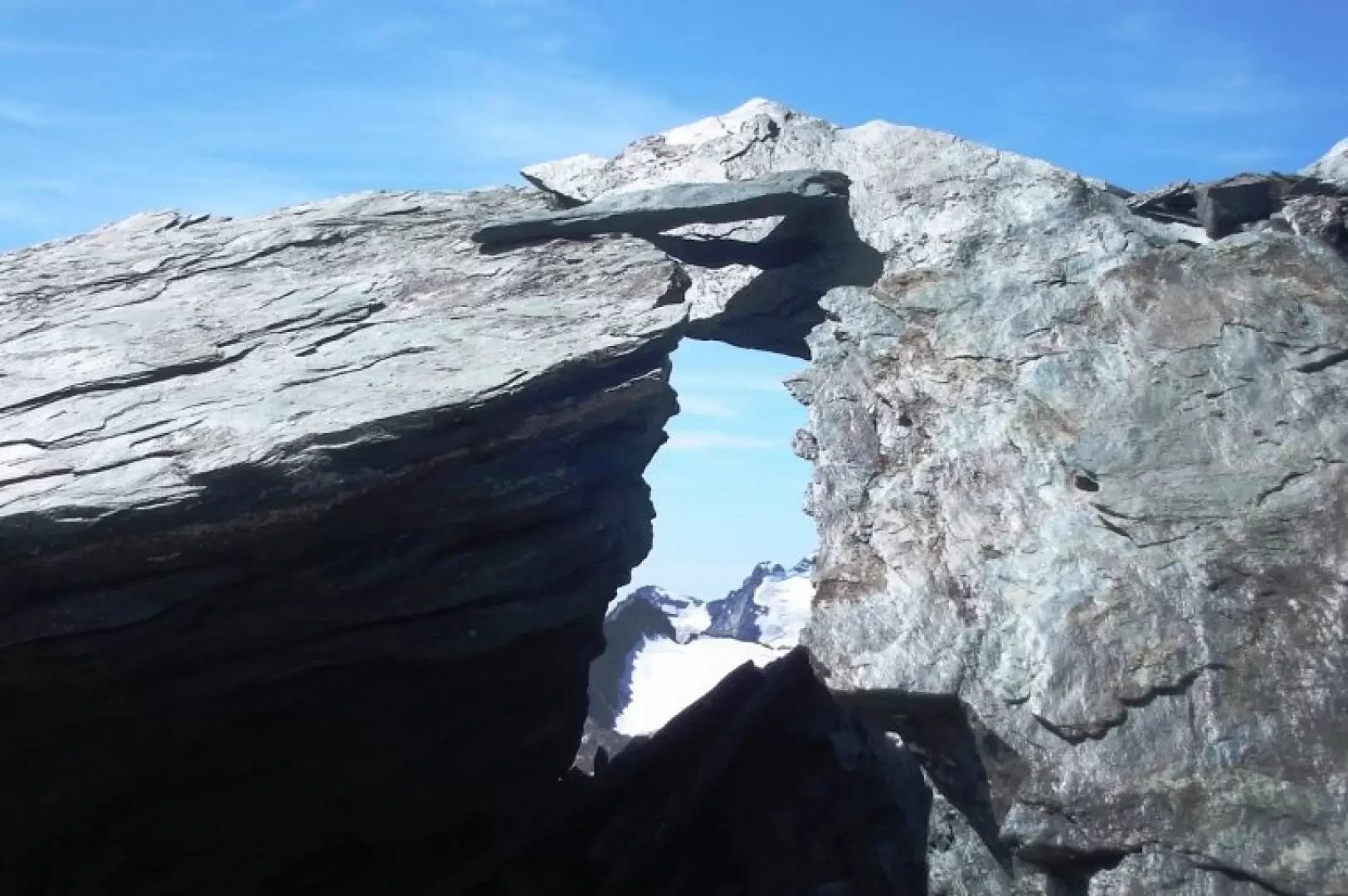
Galleria fotografica