Col Plan Fenêtre


Edited by:
Giancarlo Beretta
Updated at: 31/01/2026
Access
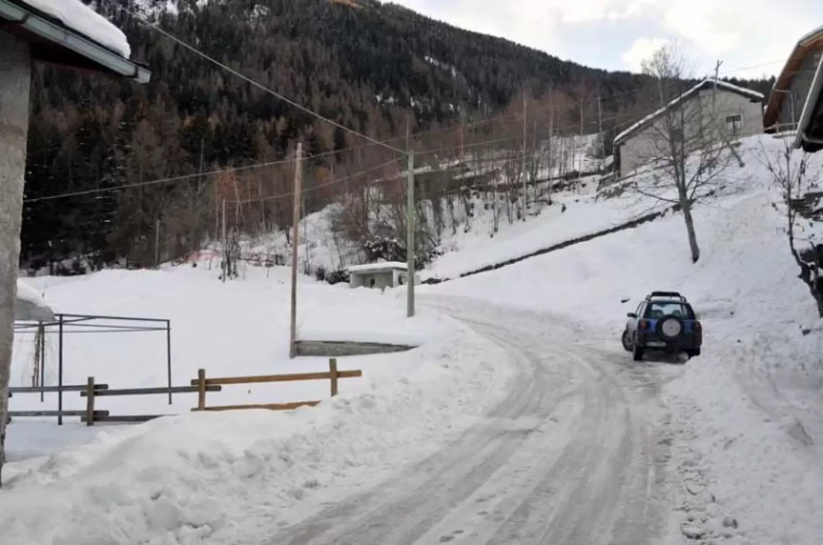
Lasciare lo svincolo autostradale di Aosta Est e svoltare a destra seguendo le indicazioni per Aosta centro. Proseguire per circa 4 chilometri e, giunti ad Aosta, svoltare a destra seguendo le indicazioni per Pila. Continuare per 6,9 chilometri fino a raggiungere la località Pont-Suaz, quindi prendere la seconda uscita e imboccare la strada regionale . Risalire la regionale superando l’abitato di Charvensod e, dopo 16,9 chilometri, si raggiunge Pila, dove è presente un ampio parcheggio gratuito (🅿️). Nei pressi della scala di accesso alla cabinovia è disponibile un fontanile (💧).
Accesso con mezzi pubblici
La località di Pila è raggiungibile con mezzi pubblici tramite cabinovia da Aosta, con collegamenti regolari e frequenti durante tutto l’anno. Non sono invece presenti collegamenti autobus diretti e regolari fino al parcheggio frazionale di Pila; per raggiungere il punto di partenza dell’itinerario è quindi necessario prevedere un trasferimento finale a piedi oppure l’utilizzo di un mezzo privato.
Distanza e tempo di percorrenza
🕒 Tempo di percorrenza: 37 minuti
📏 Distanza: 24 km
Navigazione GPS
📍 Come arrivare con Google Maps
📍 Come arrivare con Apple Maps
ℹ️ Nota importante
Le indicazioni fornite sono state verificate alla data del rilievo dell’itinerario. Prima della partenza, è consigliabile verificare eventuali variazioni del percorso. Per ottenere indicazioni aggiornate e dettagliate, si consiglia l’uso di Google Maps o Apple Maps.
Introduction
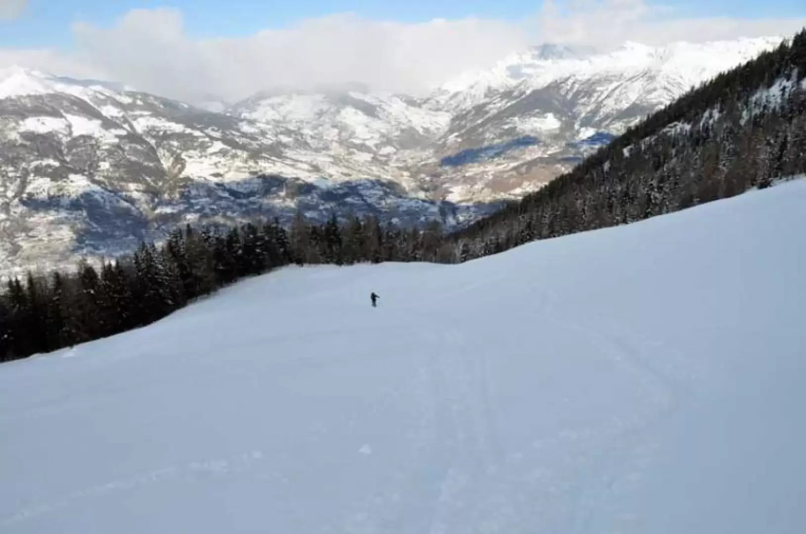
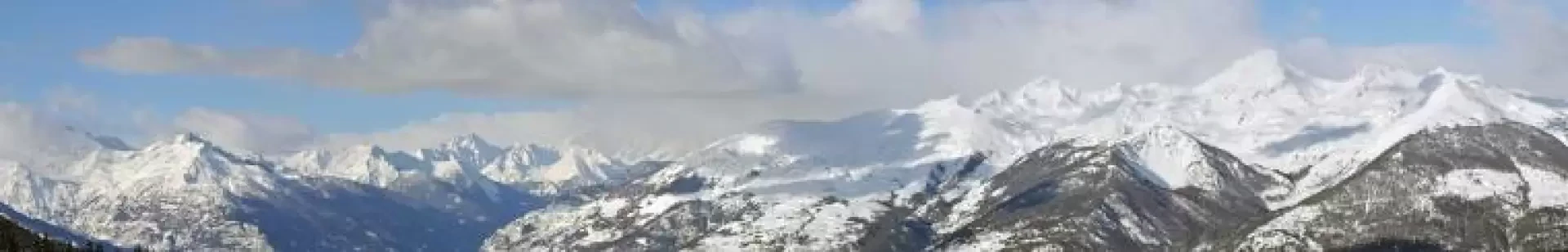
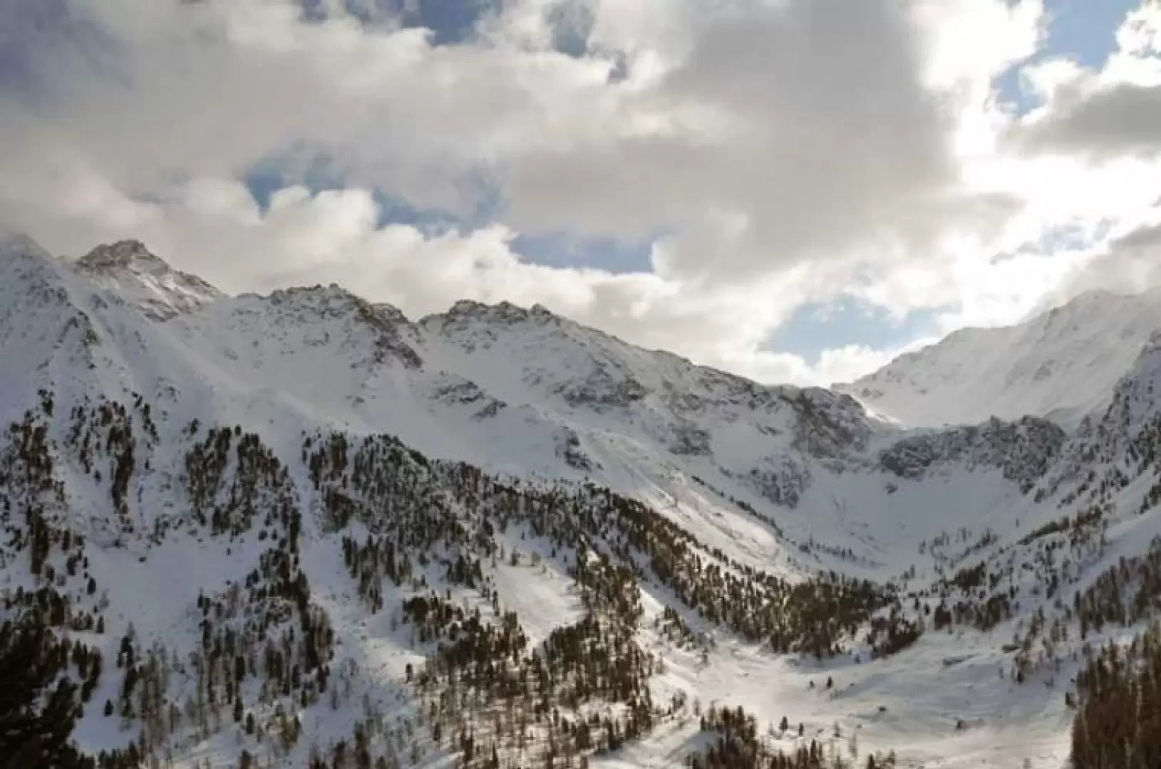
A long and very scenic hike, well marked from San Grato to Chamolé, which alternates between stretches in the woods and wide open spaces. It passes a few alpine pastures above Charvensod and the beautiful Oratory of San Grato, then, still crossing a beautiful wood, arrives in open spaces at the Chamolé alpine pasture. From here to the pass, if you can find the track there are no problems, unless it is icy, but in the absence of it, care must be taken both in the long traverse through the steep wood and in orientation when crossing it. The views are endless from Rosa, at the start of the excursion, and then towards the Aosta basin, the valleys and peaks to the north as far as Chamolé, and then again, on reaching the col, the suggestive view of the solitary Comboé valley with the nearby imposing Becca di Nona and the surrounding peaks.
Description
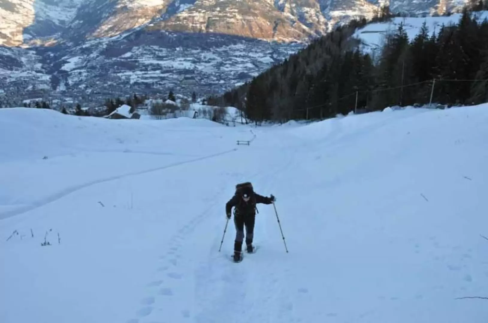
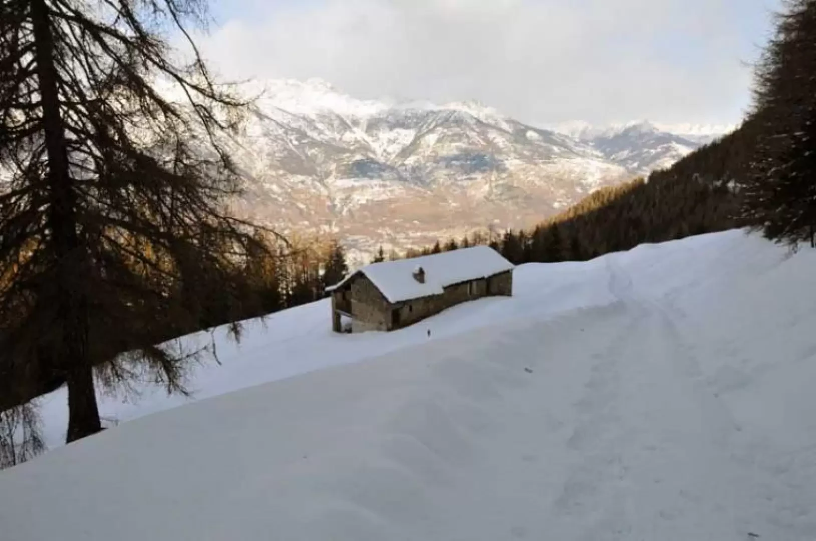
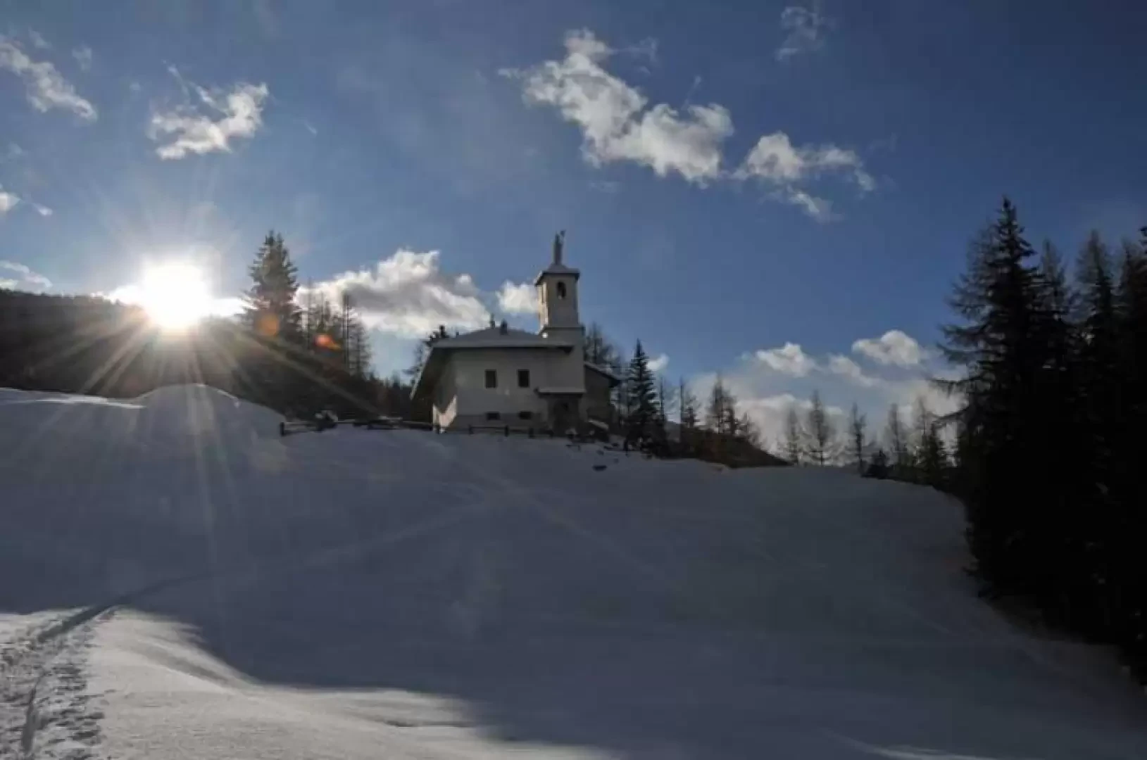
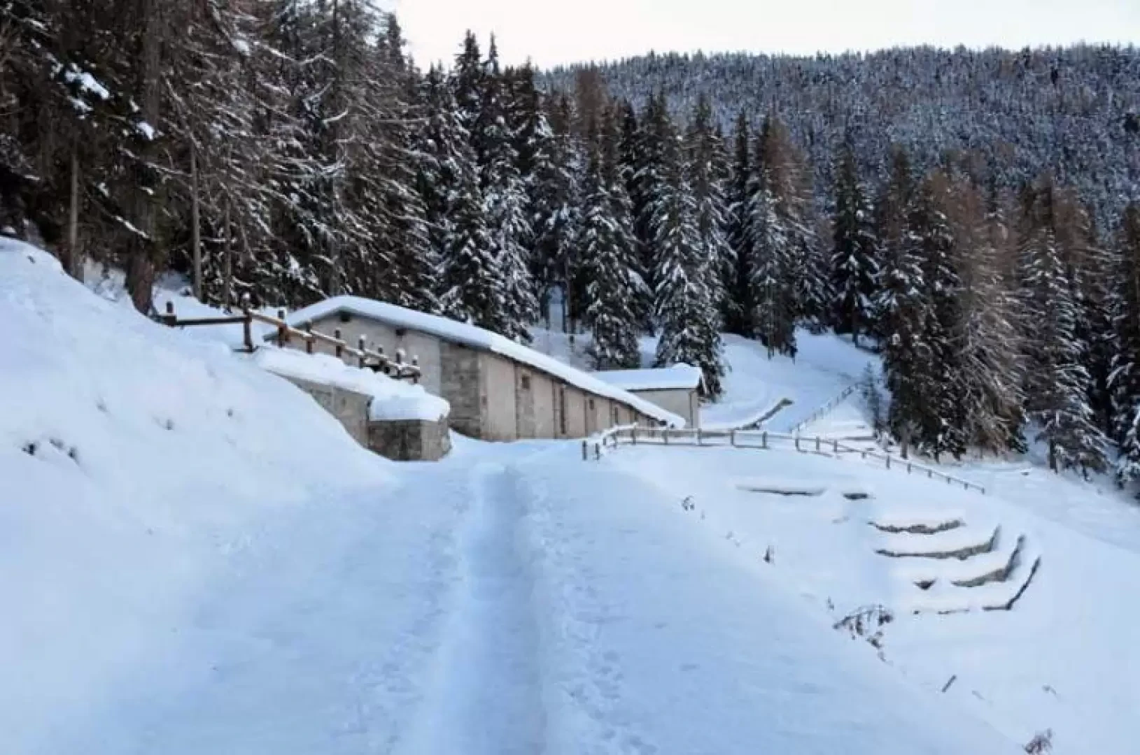
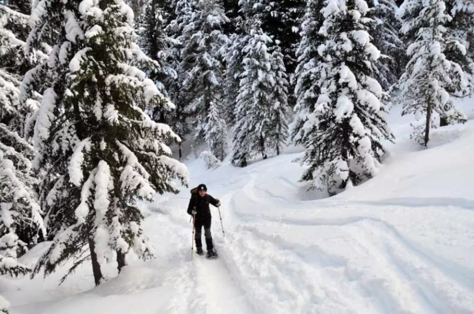
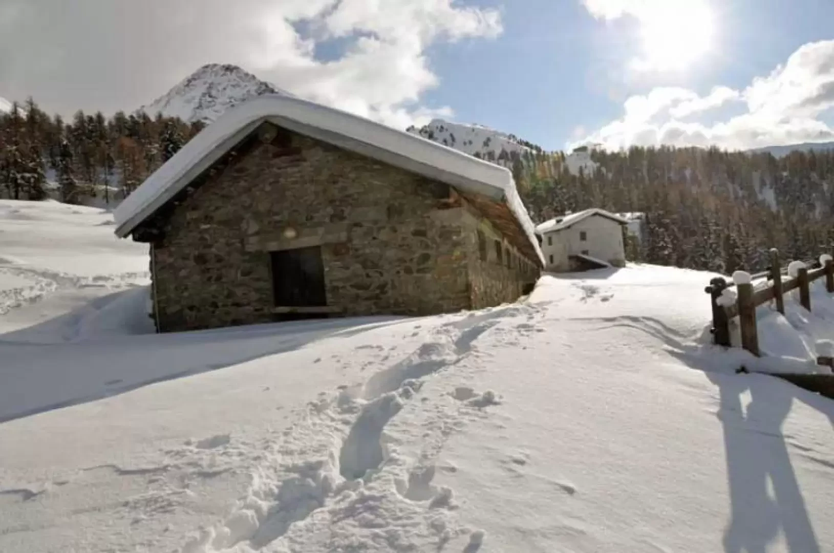
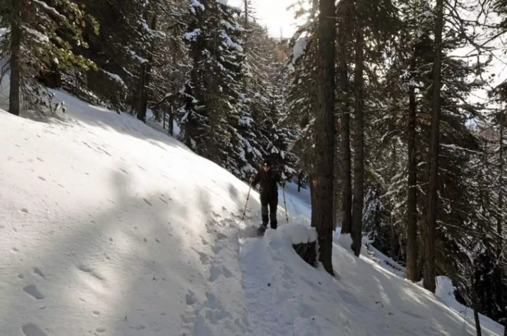
From the village, go up the road for a short distance and take a mule track, which climbs to the right just after a bend, and you will soon come to an open slope that you will climb up again directly to the Vacoz hut (1481m) located high up on the edge of the forest. If you wish, you can get to this point by faithfully following the continuation of the village road, but considerably lengthening the time required. We then continue to the right following the track of the farm road, which, after a hairpin bend, arrives at a crossroads with signposts (1503m). Here, too, we turn right, climbing steadily to reach the Les Usellières mountain pasture (1571m). During this part of the hike, in addition to the views of the basin of Aosta and the peaks of the northern slope, behind us there is a beautiful panorama of the Monte Rosa group. At the next hairpin bend, we pass by Villa Tea and then the track gains height in the beautiful evergreen woodland, arriving at Combatissière (1738m); now the track loses its gradient and, skirting the wooded flanks of the mountain, reaches a crossroads (1797m) from where we can see the Oratory of San Grato, which is worth visiting on the return journey when it is lit up by the sun. Keeping to the left, pass the San Grato mountain pasture (1,816 m) and, at a bend, you will see a wooden sign on a tree indicating Chamolé, which you should follow if there is a track that climbs more steeply into the wood. If there is no track, continue along the track that, without lengthening the route, climbs the wood and, at an altitude of about 2,040 m, you will reach a fork at the edge of the wood, which is often unidentifiable due to the amount of snow. When you reach the open spaces, climb up the slope, aiming towards an evident cross above it and, having reached it, you arrive at the panoramic Chamolé alpine hut. From the huts, walk north-eastwards towards the forest, trying to spot the summer trail route, and make a long traverse through the forest from the steep flanks that descend from the long ridge that comes down from the Tête Noire; gain height slightly with a few ups and downs and, after making a turn, you will come in sight of the wooden cross located on a panoramic rise to the left just above Col Plan Fenêtre.
Galleria fotografica