Hermitage de Saint-Grat, from Pila


Edited by:
Giancarlo Beretta
Updated at: 15/05/2026
Access
Lasciare lo svincolo autostradale di Aosta Est e svoltare a destra seguendo le indicazioni per Aosta centro. Proseguire per circa 4 chilometri e, giunti ad Aosta, svoltare a destra seguendo le indicazioni per Pila. Continuare per 6,9 chilometri fino a raggiungere la località Pont-Suaz, quindi prendere la seconda uscita e imboccare la strada regionale . Risalire la regionale superando l’abitato di Charvensod e, dopo 16,9 chilometri, si raggiunge Pila, dove è presente un ampio parcheggio gratuito (🅿️). Nei pressi della scala di accesso alla cabinovia è disponibile un fontanile (💧).
Accesso con mezzi pubblici
La località di Pila è raggiungibile con mezzi pubblici tramite cabinovia da Aosta, con collegamenti regolari e frequenti durante tutto l’anno. Non sono invece presenti collegamenti autobus diretti e regolari fino al parcheggio frazionale di Pila; per raggiungere il punto di partenza dell’itinerario è quindi necessario prevedere un trasferimento finale a piedi oppure l’utilizzo di un mezzo privato.
Distanza e tempo di percorrenza
🕒 Tempo di percorrenza: 37 minuti
📏 Distanza: 24 km
Navigazione GPS
📍 Come arrivare con Google Maps
📍 Come arrivare con Apple Maps
ℹ️ Nota importante
Le indicazioni fornite sono state verificate alla data del rilievo dell’itinerario. Prima della partenza, è consigliabile verificare eventuali variazioni del percorso. Per ottenere indicazioni aggiornate e dettagliate, si consiglia l’uso di Google Maps o Apple Maps.
Introduction
This easy hike, which is also suitable for those new to this type of excursion, is one of the many possible variants to reach the charming little church that dominates the Aosta basin. To the delight of lovers of quiet and peaceful routes, it is also little frequented, but there are no difficulties either in terms of progression or orientation, since it climbs along the track of a farm road. The route is very scenic right from the start with views of the Rosa group and varies later with glimpses of the Aosta basin and the valleys and mountains that extend northwards from it.
Description
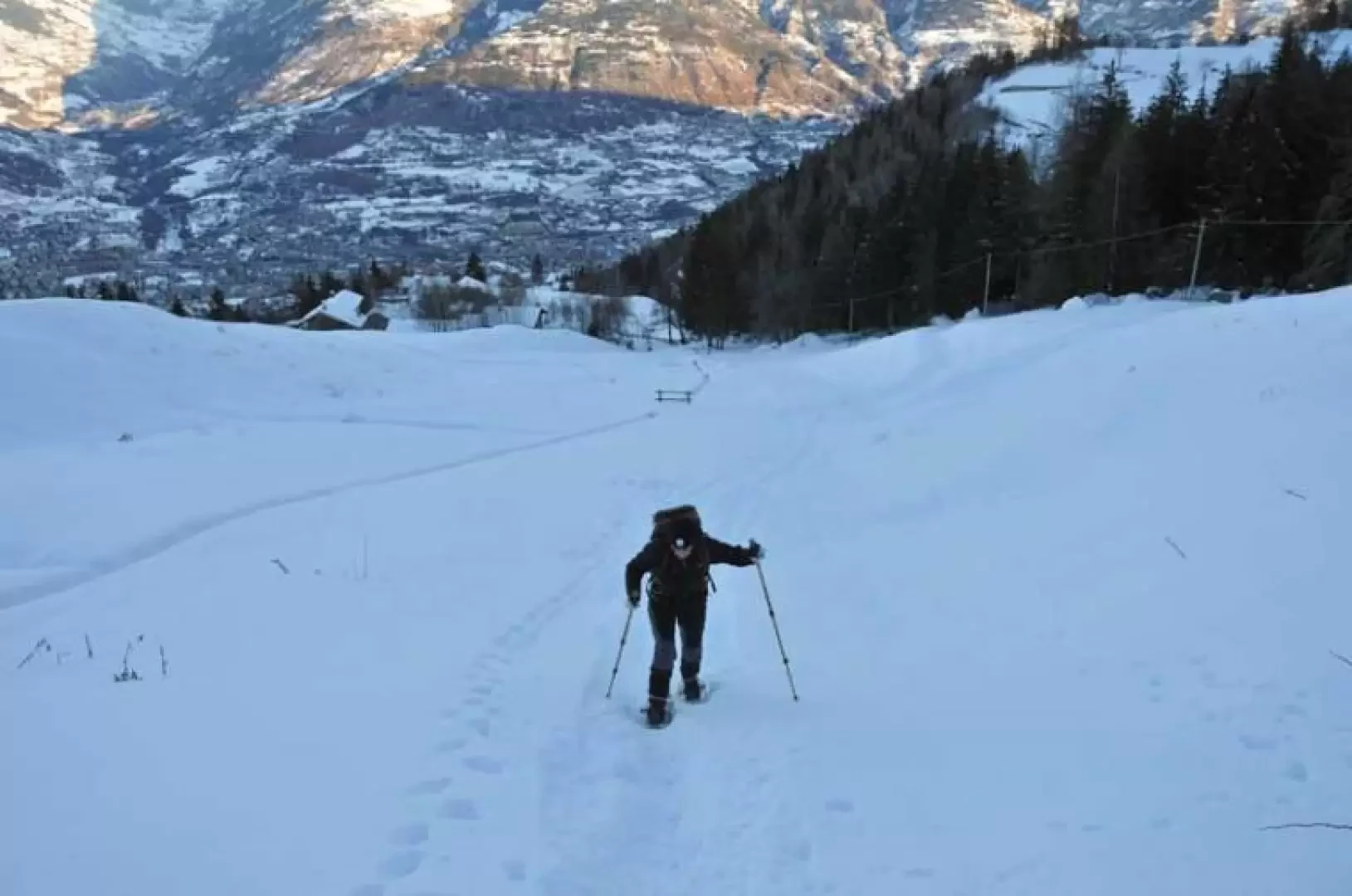
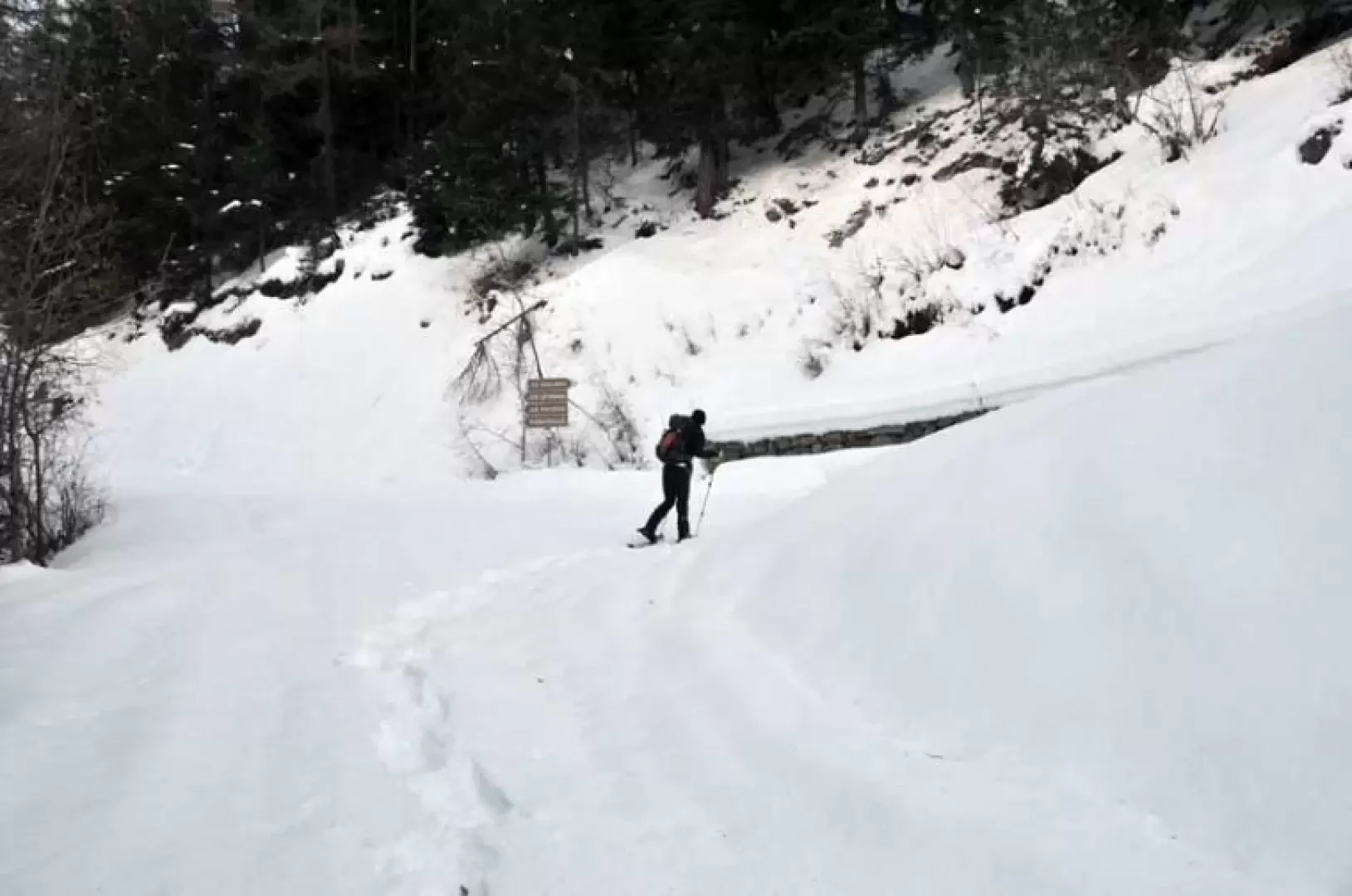
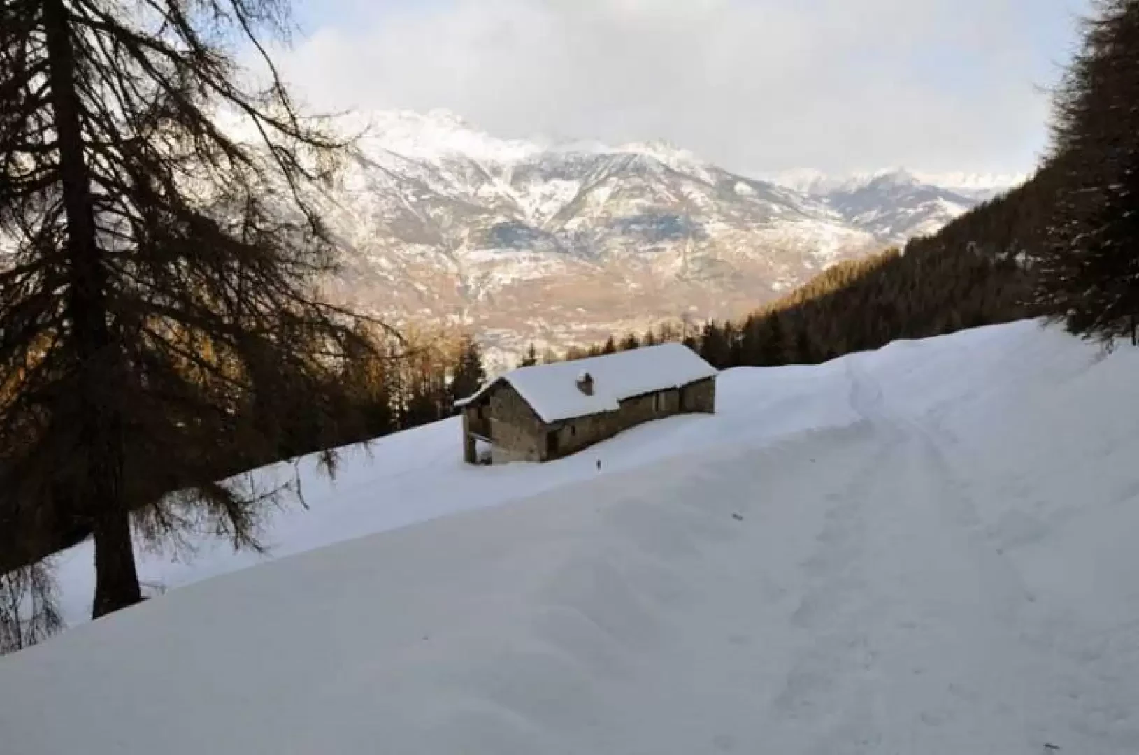
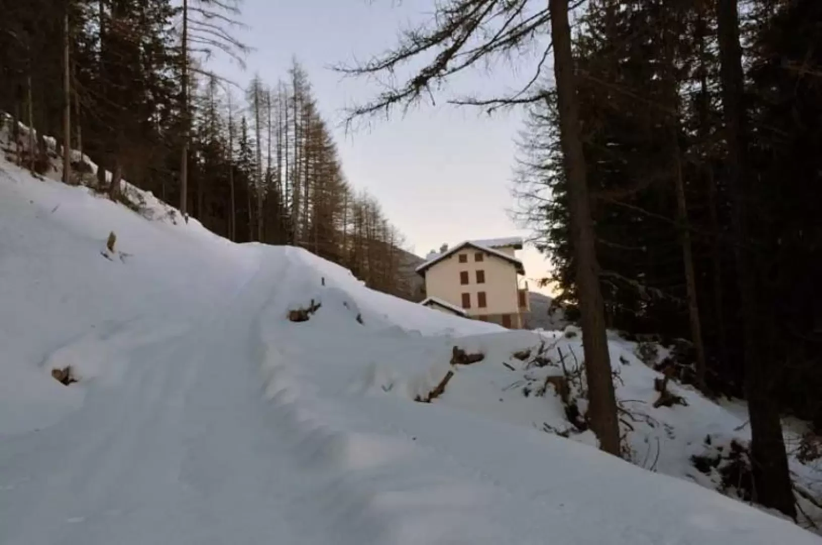
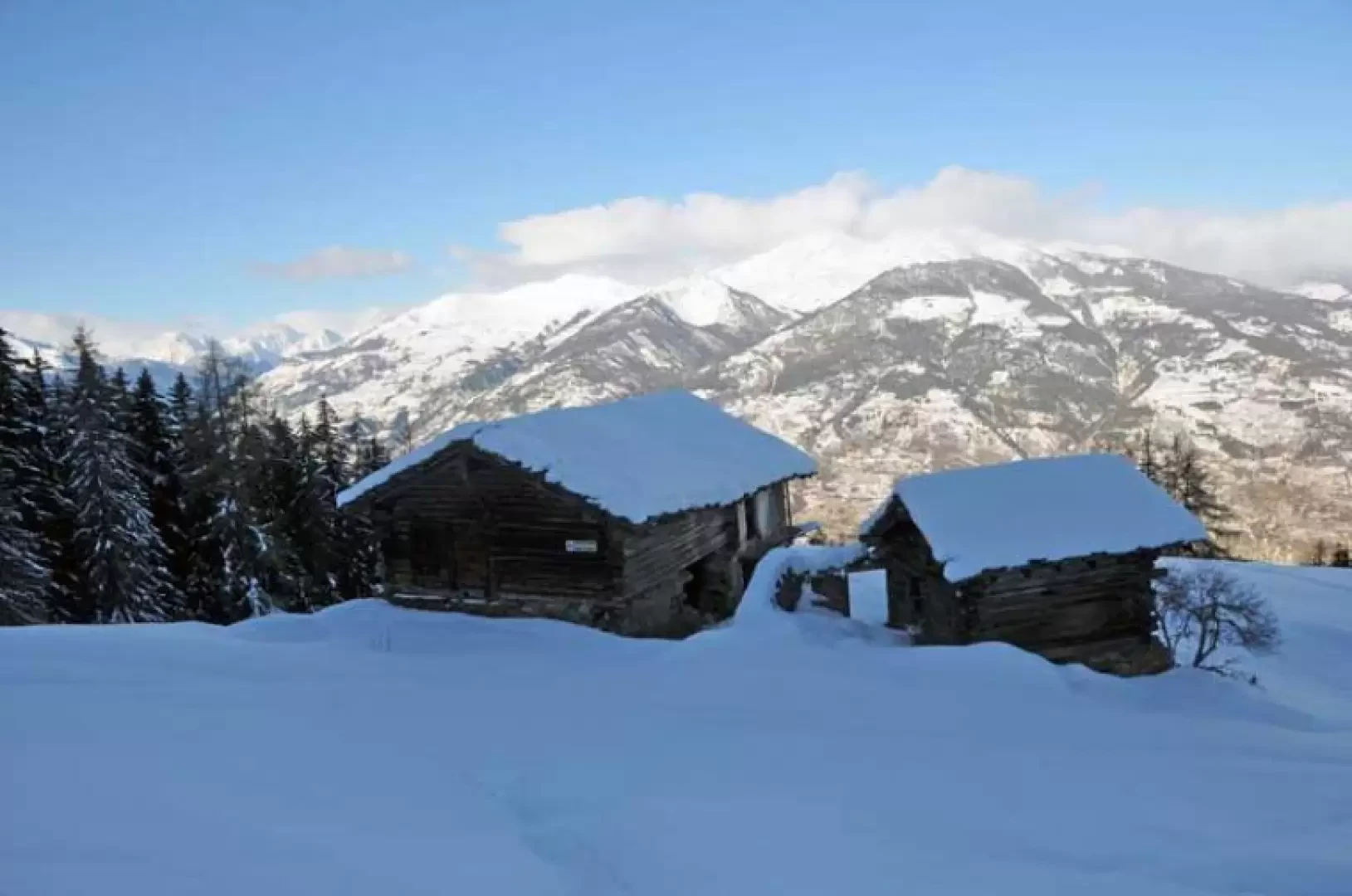
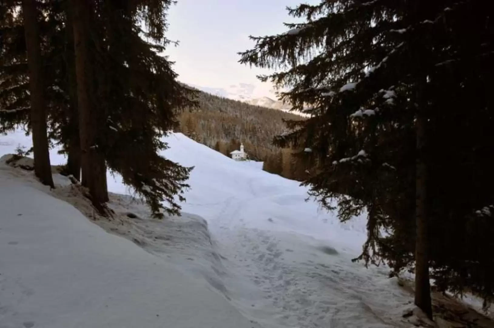
From the village, go up the road for a short distance and take a mule track, which climbs to the right just after a bend, and you will soon come to an open slope that you will climb up again directly to the Vacoz hut (1481m) located high up on the edge of the forest. If you wish, you can get to this point by faithfully following the continuation of the village road, but considerably lengthening the time required. We then continue to the right following the track of the farm road, which, after a hairpin bend, arrives at a crossroads with signposts (1503m). Here, too, we turn right, climbing steadily to reach the Les Usellières mountain pasture (1571m). During this part of the hike, in addition to the views of the basin of Aosta and the peaks of the northern slope, there is a beautiful panorama of the Monte Rosa group behind us. At the next hairpin bend, we pass by Villa Tea and then the track gains height in the beautiful evergreen woodland, arriving at Combatissière (1738m); now the track loses gradient and, skirting the wooded flanks of the mountain, reaches a fork (1797m) from which we can see the Oratory of San Grato. Keeping to the right, you lose a few metres in height difference and walk in a straight line until you reach the little church.
Galleria fotografica