Tête des Goilles

Edited by:
Giancarlo Beretta
Updated at: 29/05/2026
Access
Navigazione stradale
Lasciare l'autostrada allo svincolo di Aosta Ovest e immettersi sulla in direzione Cogne. Attraversare l'abitato di Aymavilles e, dopo 1,5km, prendere la seconda uscita alla rotonda rimanendo sulla (1,5km). Proseguire lungo la strada regionale, superando le frazioni di Vieyes, Épinel e Crétaz, per ulteriori 19,8km fino alla rotonda nei pressi di Cogne. Prendere la prima uscita rimanendo sulla (21,3km) e continuare per 2,8km fino al parcheggio di Lillaz (24,1km).
Parcheggio
Il parcheggio 🅿️ di Lillaz è suddiviso in tre aree: i posti più vicini all'inizio dei sentieri sono a pagamento; quelli centrali sono gratuiti; la zona più distante è riservata ai camper.
Accesso con mezzi pubblici
Il comune di Cogne è raggiungibile da Aosta con la linea SVAP 340 "Aosta-Cogne", operativa tutto l'anno, con partenza dall'Autostazione di Aosta. In periodo estivo, la frazione di Lillaz è raggiungibile dalla fermata di Cogne Revettaz con la navetta urbana SVAP linea 193 "Cogne Urbana Estiva", con fermata a Lillaz Piazzale. Per gli orari aggiornati di entrambe le linee consultare la pagina Linee e Orari di SVAP. Al di fuori del periodo estivo, per raggiungere Lillaz dalla fermata di Cogne è necessario un mezzo privato.
Distanza e tempo di percorrenza
🕒 Tempo di percorrenza: 33 minuti
📏 Distanza: 24,1km
Navigazione GPS
Nota informativa
Le indicazioni fornite sono state verificate alla data del rilievo dell'itinerario. Prima della partenza si consiglia di verificare possibili variazioni del percorso o delle condizioni stradali. Per informazioni aggiornate si raccomanda di consultare Google Maps o Apple Maps.
Introduction
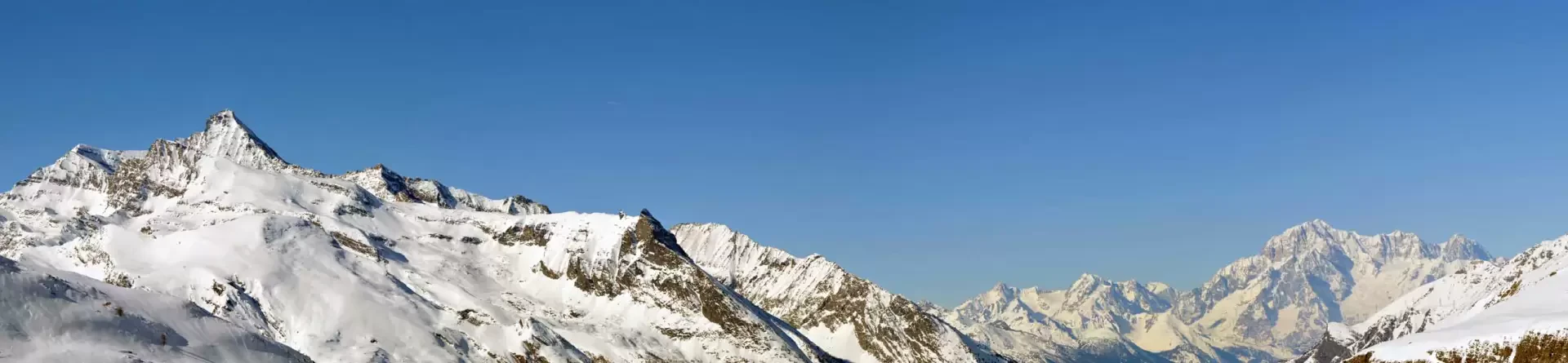
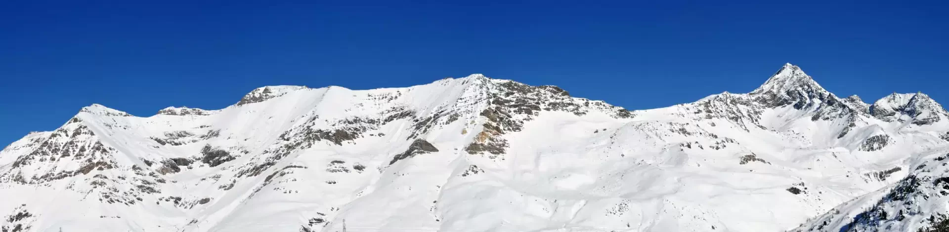
Beautiful hike that takes in the woods and icy lonely valleys of Urtier and Bardoney and leads to a panoramic peak that dominates the latter and allows the eye to sweep from the nearby Grivola to Mont Blanc and the chain from Monte Creya to Torre Ponton. The few difficulties are concentrated in tackling the final slopes that from the diversions before Bardoney lead to the summit and more specifically to the central part where there is a rather steep passage.
Description
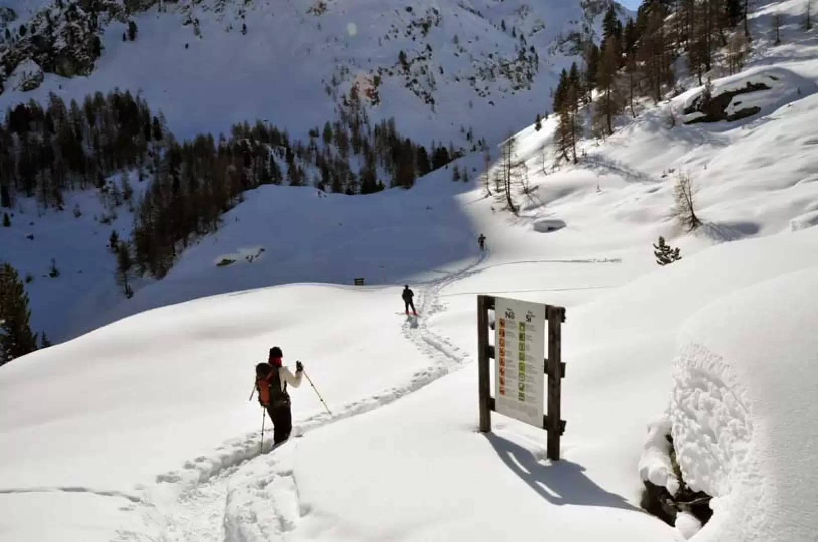
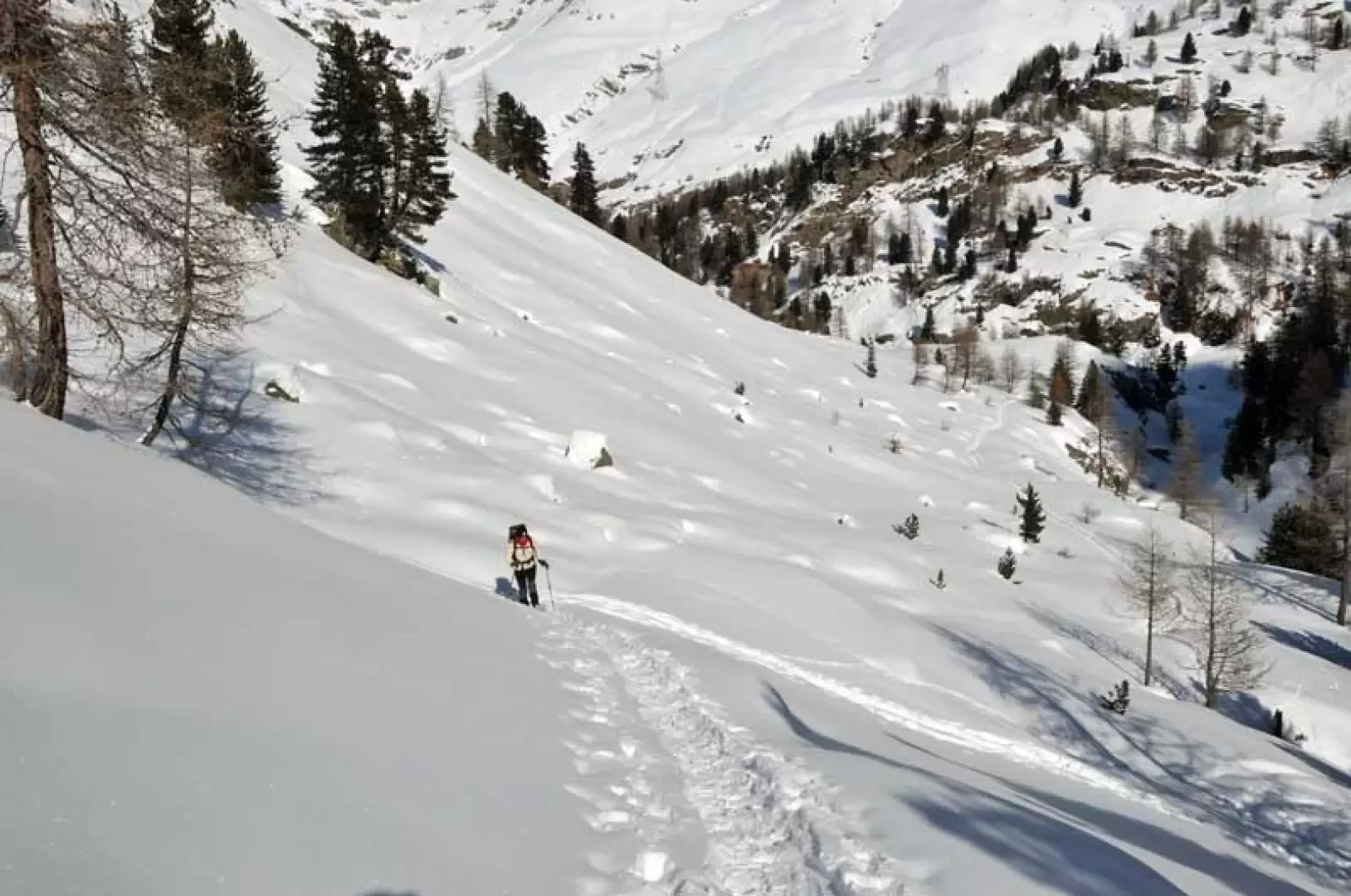
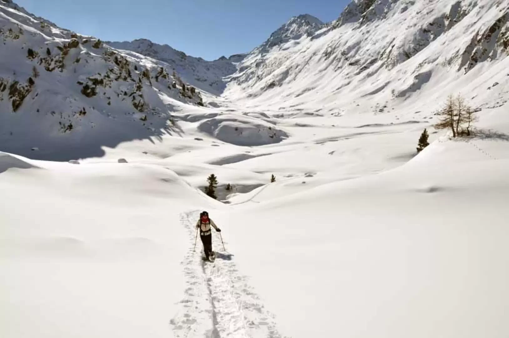
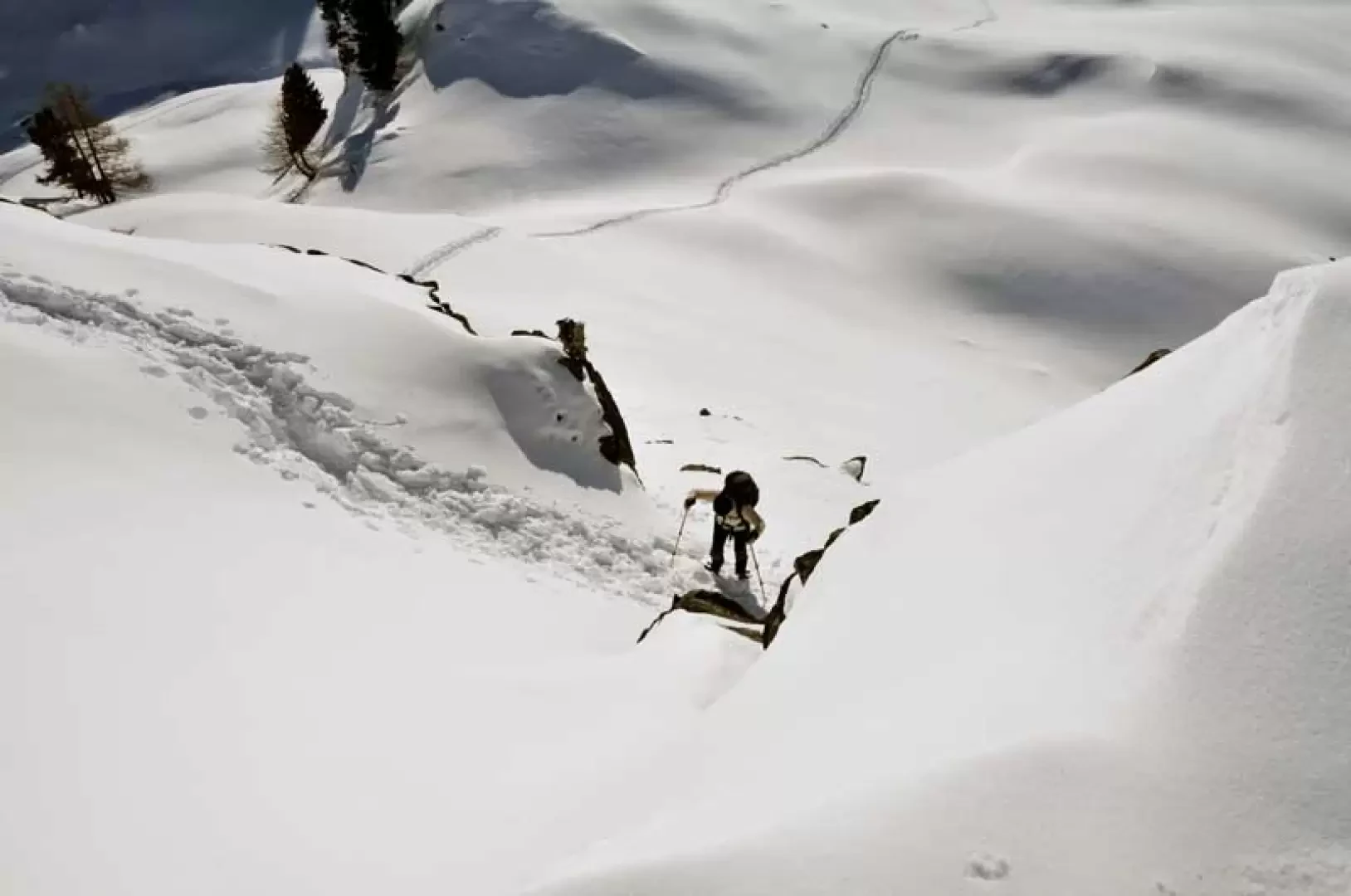
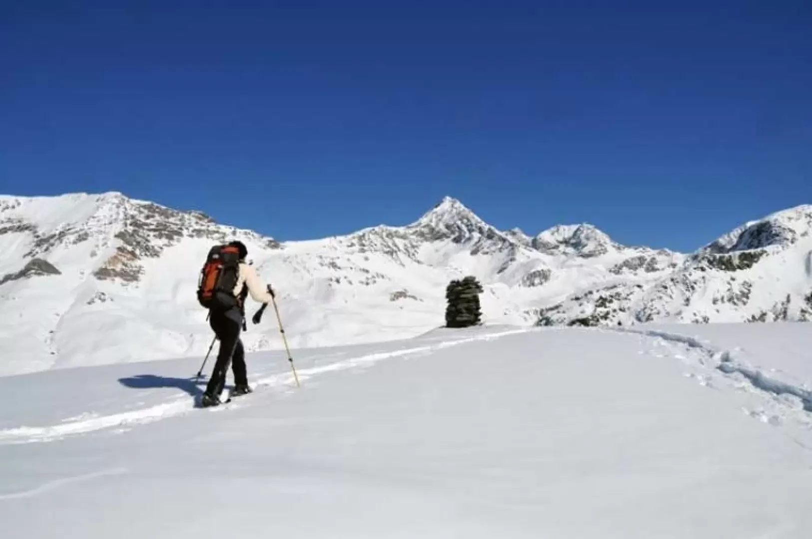
Take the road to the left of the car park and walk for a few dozen metres until you come to the signposts located near a house. Climb the steps next to the house, then go up into the woods following the track on the path and pass a couple of forks marked by posts (1708 and 1727 m); pass near a farm road and, still following the path, walk alongside a water conduit, quickly gaining height. Past the water conduit, the mountainside is skirted on the right and a small chapel (1829 m) is passed. Continue along a long traverse along the hillside that, with a few ups and downs, remains above the stream, passing through a sparse wood. Temporarily coming out of the wood, you arrive at a wide plateau where, on the left a little higher up the track, you will find the alpine pasture of Goilles dessus and continuing along the hillside you will soon arrive at the huts of Goilles desot (1845 m). Beyond them, walk towards the narrowest part of the valley approaching a wooden bridge and cross the stream, gaining the opposite bank; after passing a small plateau where you turn left, enter the woods and begin the ascent, at first with slight inclines and then overcome a steeper section with a few narrow hairpin bends. Continuing into the wood, climb up a narrow, steep gully, then up a few more narrow hairpin bends protected by a fence and, where the slope decreases, cut across the slope, arriving in sight of a crossroads well signposted by a post that is reached by descending a little towards a small plateau (2136 m). From the crossroads, walk along the right, skirting the upper slopes at first without gaining altitude and then, with a few hairpin bends, rise up passing through open, panoramic spaces to reach where the long, solitary Bardoney valley opens out. Having reached an altitude of around 2225 m, and in any case just before a marker post, we turn sharply to the right, climbing the slopes whose gradient gradually increases until we come to an evident rocky band that can be crossed by passing through a short but steep gully. Continue for a short stretch that is not very steep and, after a few hairpin bends, climb steeply again for a short distance, arriving at the large stone cairn on the summit.
General information
Trail:
Signposts:
Type of route:
Recommended period of time:
Exposure to the sun:
Galleria fotografica