Nearby
📍 Location Details
Latitude:
Longitude:
Accuracy:
Updated:
Latitude:
Longitude:
0 km
100 km
Path
km
-
km
m
m
Hike Type
Round trip
Circular
Crossing
Partially circular
Recommended Period
All
Climbing
Hiking
Mountain bike
Mountaineering
Ski-mountaineering
Trekking
Snowshoeing
Via ferrata

Edited by:
Maria Grazia Schiapparelli
Daniel Tower
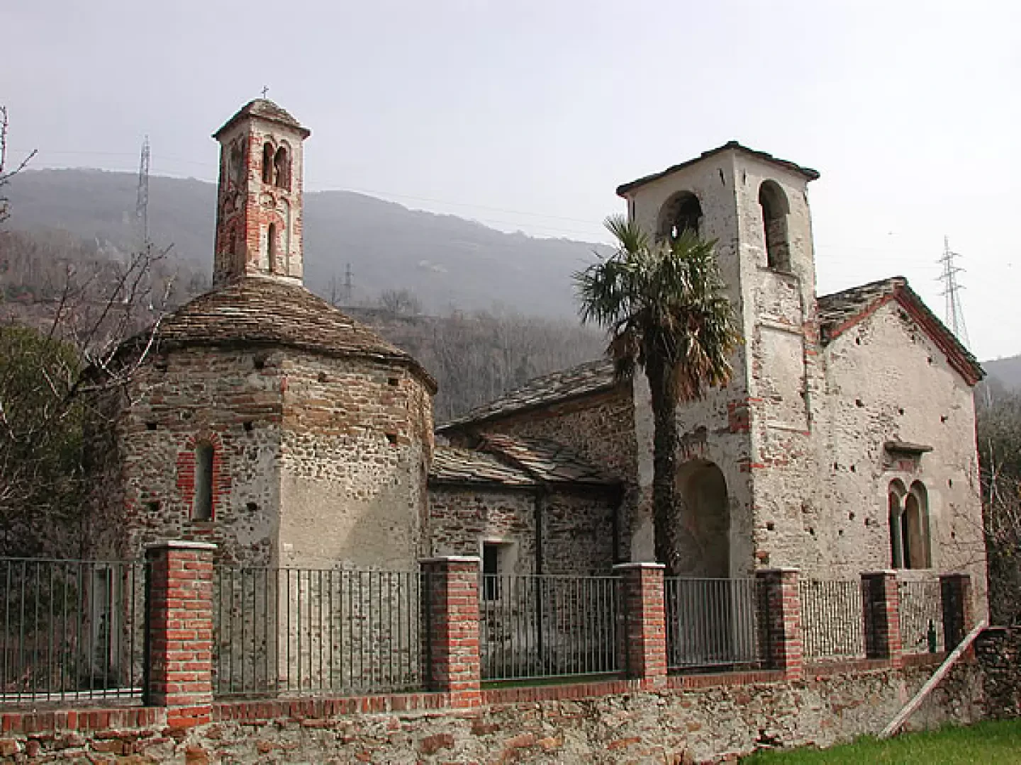
This tour has so far been one of the FAI's spring day destinations; you walk along beautiful mule tracks through...
T2
0.00 Km
202 m

Edited by:
Massimo Martini
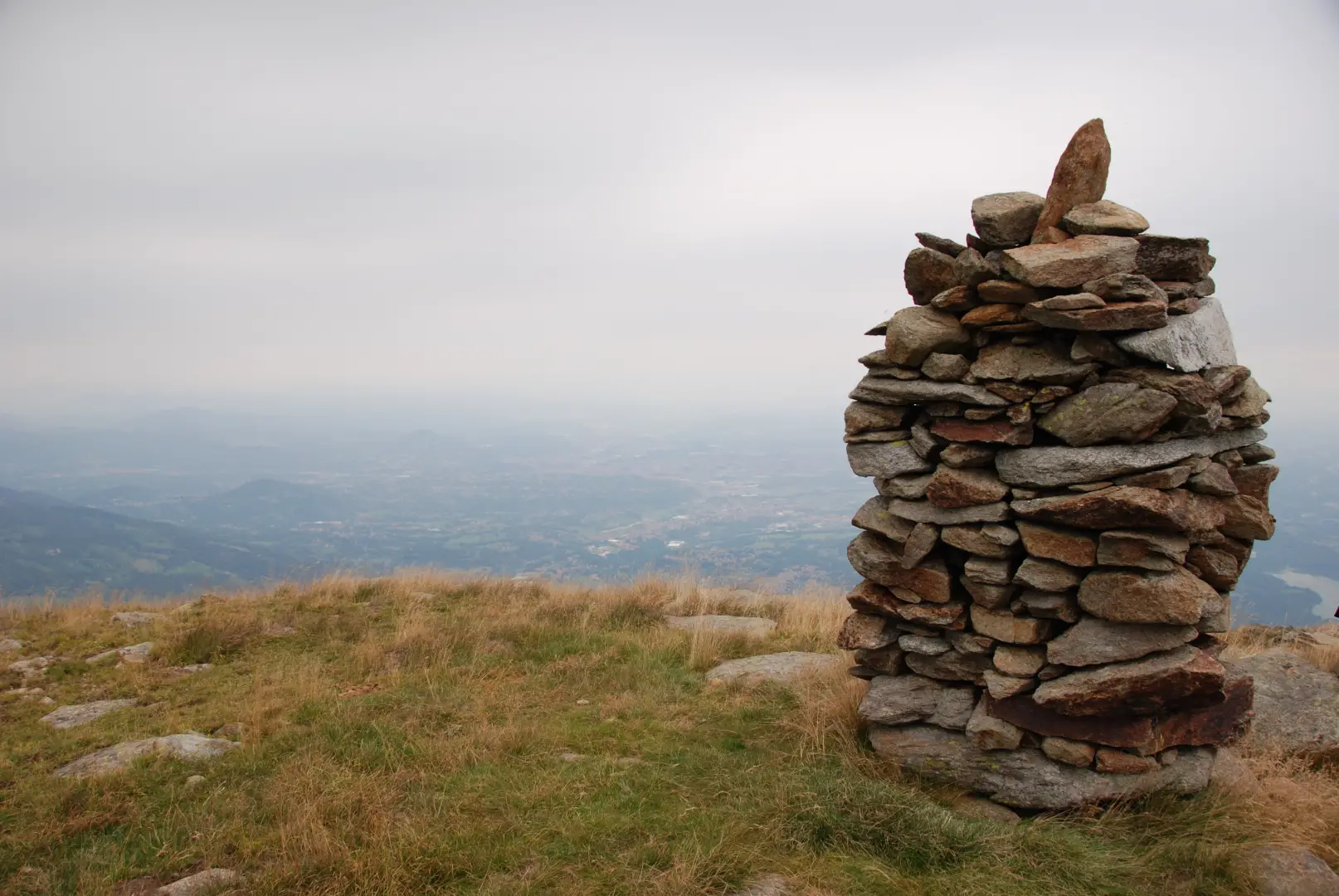
Bric Paglie, from Piazza Fraschetto
Bric Paglie (1,859 m) lies along the Pre-Alpine ridge that separates the Biella area from the Canavese, in a commanding...
T2
16.47 Km
1057 m

Edited by:
Giancarlo Beretta
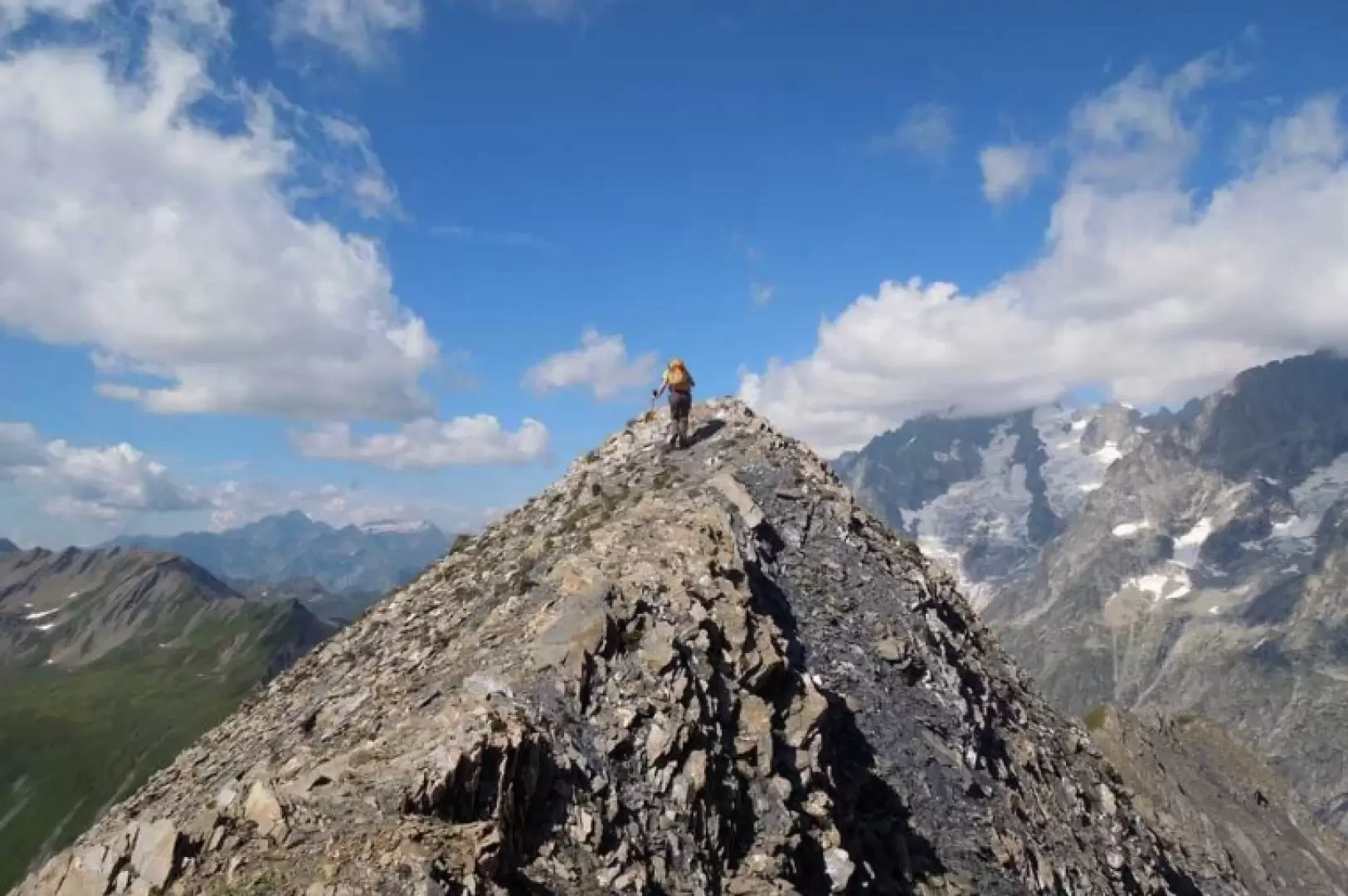
Aiguille des Angroniettes to Col Ban Darrey, a circular walk from Arp Nouvaz
This beautiful and challenging circular walk takes you away from the crowds on the classic trails, through the upper Val...
T3
12.03 Km
1155 m

Edited by:
Benedetto Lorusso
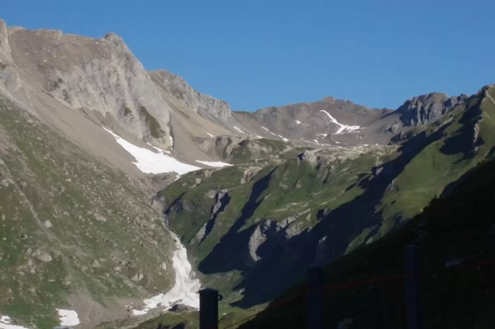
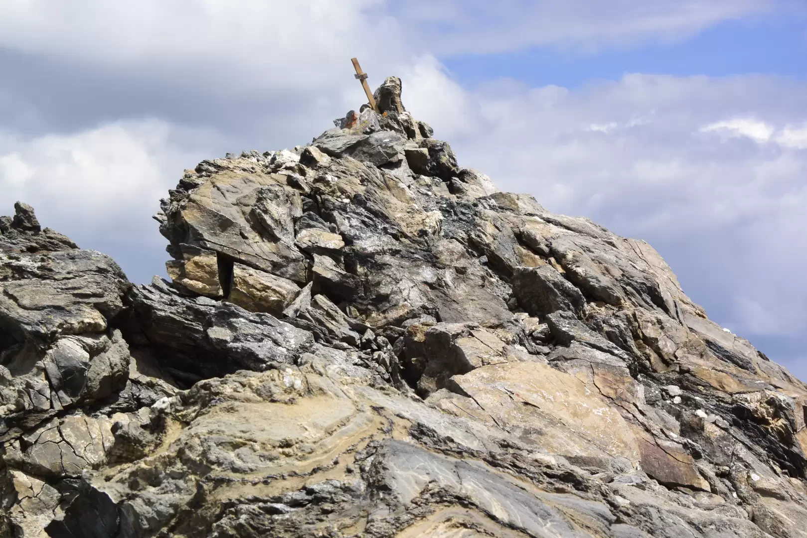
Aiguille d'Artanavaz via Rantin, from Planaval – La Salle
The final destination offers a breathtaking view: Mont Blanc and the Grandes Jorasses, whilst the horizon stretches from the Combin...
T3
17.60 Km
1346 m
Edited by:
Massimo Martini
Aiguille d'Artanavaz via Ecoules, from Planaval – La Salle
T3
13.91 Km
1274 m


Edited by:
Paolo Erba
At the foot of the Getrum Spitze
Beautiful hike in an environment dominated by mountain pine and marmots. Ideal for discovering the fascinating world of the Sarneri....
T2
13.84 Km
657 m
Edited by:
Massimo Martini
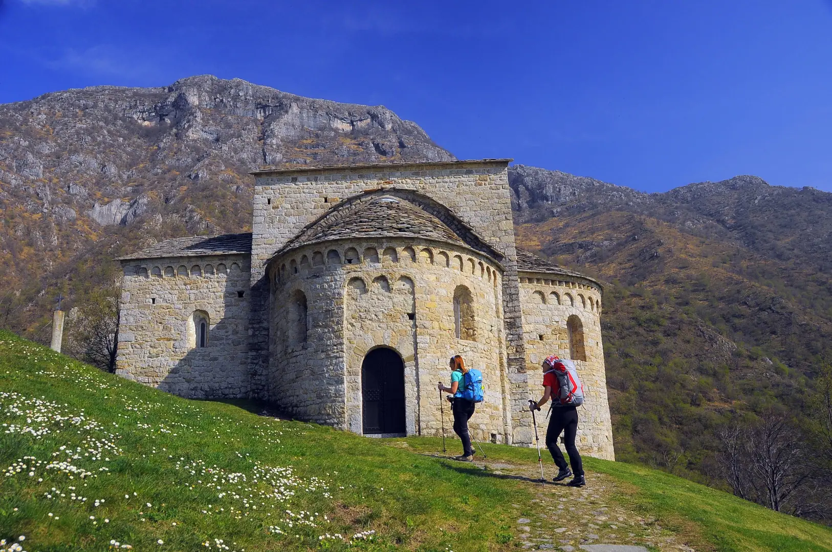
Abbey of San Pietro al Monte, from the car park on Via Valle dell'Oro
A round-trip route that follows the Valle dell’Oro up the slopes of Monte Cornizzolo, reaching the Romanesque monastic complex of...
T2
3.16 Km
334 m
Edited by:
Maurizio Loconti
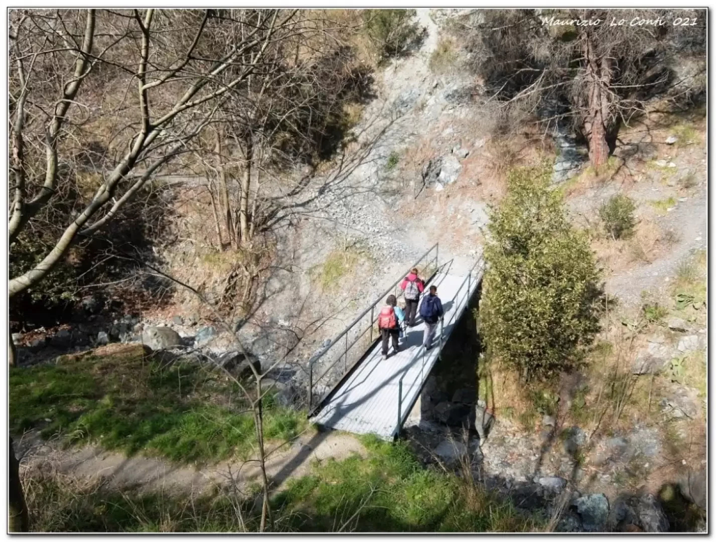
Cassinelle Abbey, from Borzoli
In this area, the various footpaths have been neglected for several years, due to brambles, a number of landslides and...
T2
8.16 Km
406 m
Edited by:
Massimo Martini
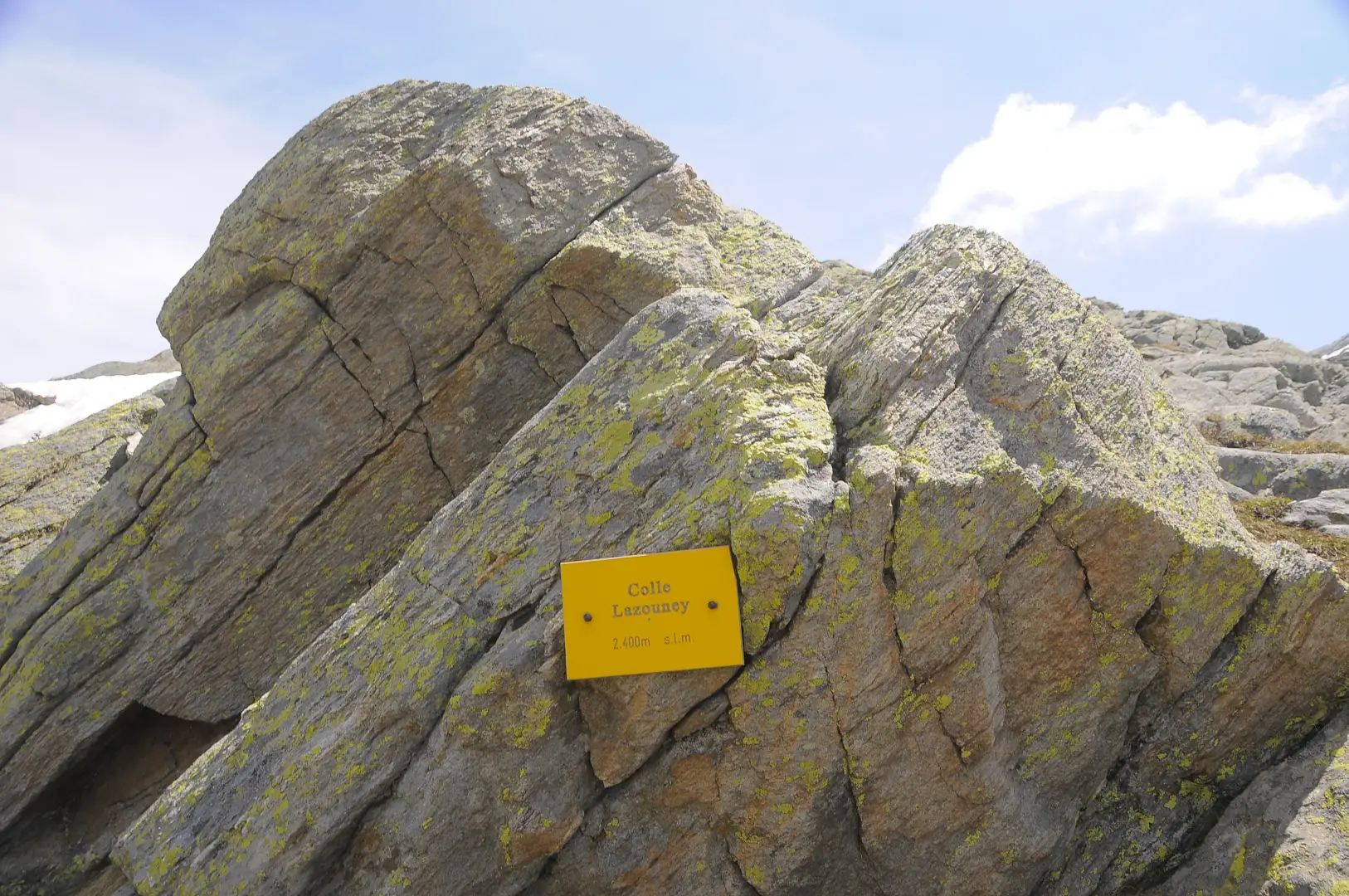
Col Lazouney, from Niel
L’itinerario al Col Lazouney ha origine dal villaggio di Niel, in alta valle del Lys, nel comune di Gaby, lungo...
T2
6.59 Km
840 m
Edited by:
Massimo Martini
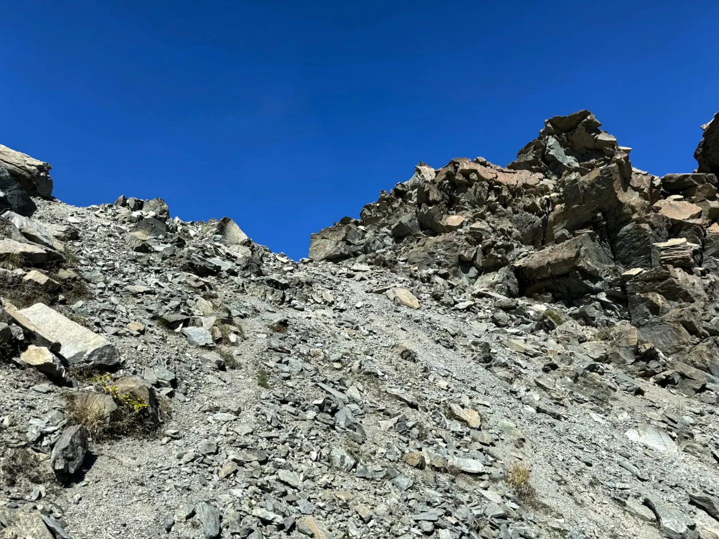
Col Giron, from Cloutraz
Itinerario ad andata e ritorno che sale da Cloutraz fino al Col Giron (2.602m), in un ambiente severo e poco...
T2
13.77 Km
1518 m
Edited by:
Maurizio Loconti
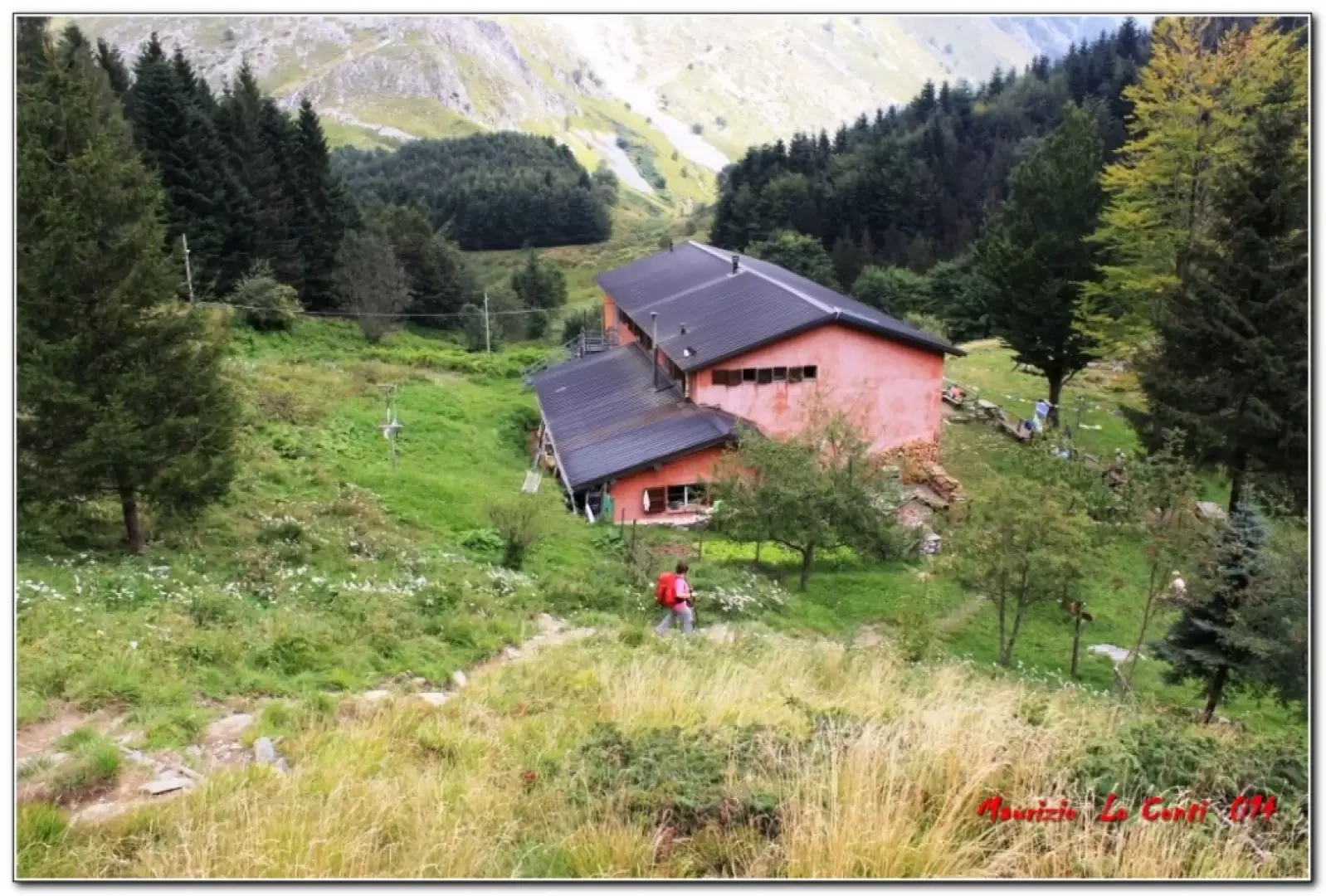
Freo Mountain Hut, from Passo Croce
A circular walk from Passo Croce, at the foot of Pania della Croce in the Apuan Alps.
T2
11.01 Km
844 m

Loading more...