Hermitage Saint-Julien, from Le Pieiller


Edited by:
Alain Martini
Updated at: 15/06/2025
Access
Leave the motorway at the Nus tollgate. Turn left in the direction of Fénis. Pass Fénis Castle and continue along the main road until you reach the hamlet of Cors. Turn right and follow the signs for Saint-Grat and Saint-Julien. Go up the municipal road, which leads through woods and clearings, for about 7 kilometres. Reach the signpost indicating Le Côteau and leave your car at the side of the road, taking care not to get in the way of vehicular traffic.
Distance and travelling time
🕒 Travelling time: 18 minutes
📏 Distance: 8.3 km
GPS navigation
📍 How to get there with Google Maps
📍 How to get there with Apple Maps
ℹ️ Important note
The directions given were verified on the date of the survey of the route. Before departure, it is advisable to check for any changes to the route. For up-to-date and detailed directions, we recommend the use of Google Maps or Apple Maps.
Introduction
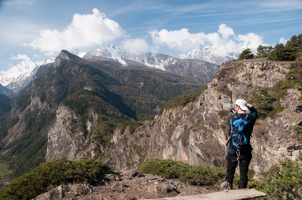
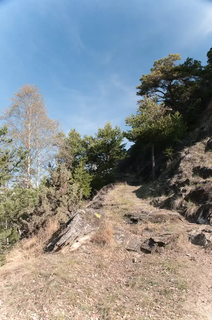
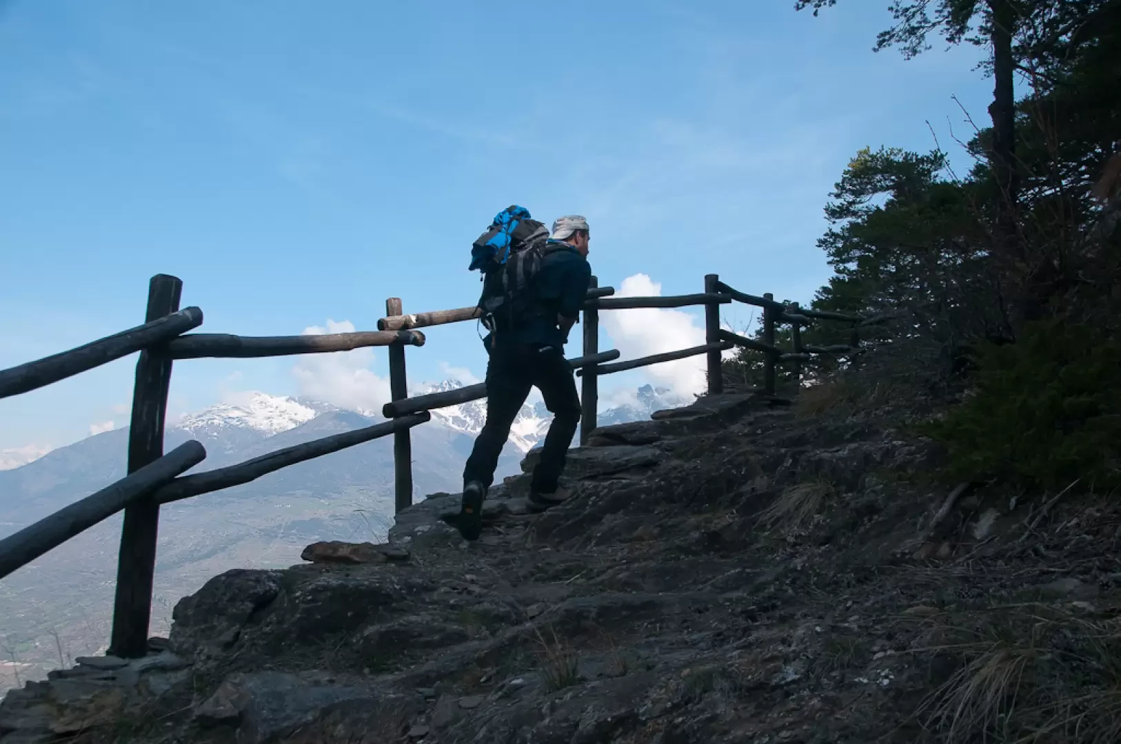
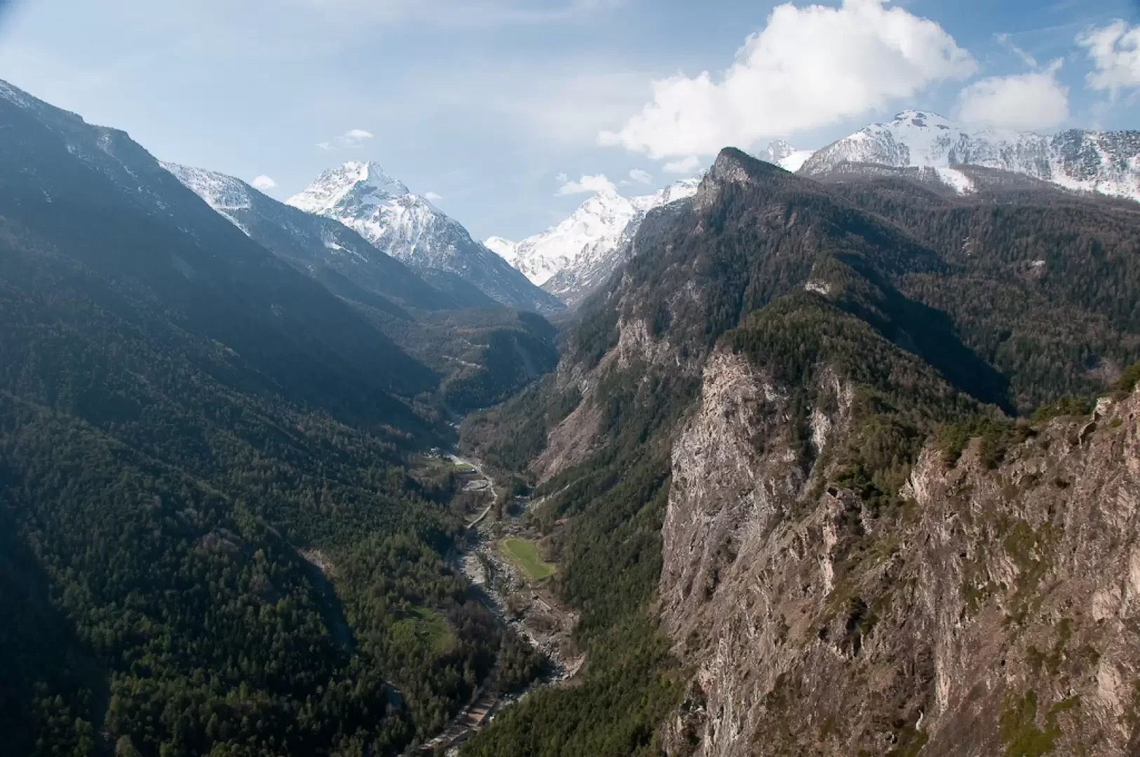
Beautiful walk along a path halfway up the forest with views of the central valley and the Clavalité valley. Along the way, the octagonal chapel dedicated to Saint Grato and the hermitage of Saint-Julien can be seen. The presence of barriers at the end of the hike makes the route safer. Although wide, it is rather exposed.
In centuries gone by, this area was inhabited by hermits who found their inner peace in this picturesque setting. As soon as you pass the Saint-Grat chapel, you can turn left where you will find a privileged vantage point over the hermitage and the La Clavalité valley below.
Description
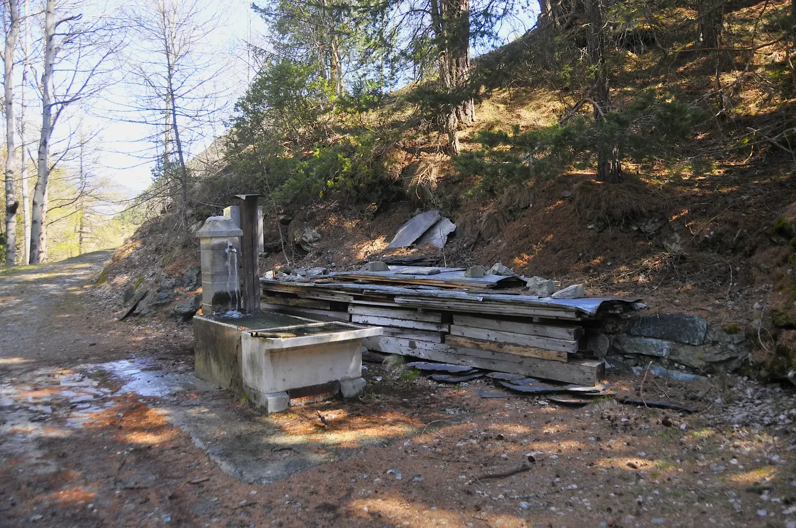
0h00' 0.00km Leaving the car behind, we proceed along a flat dirt road heading north-east; after a few minutes, we come to a fountain 💧 and, shortly afterwards, the first cottages of the village of Le Côteau (1.236m).
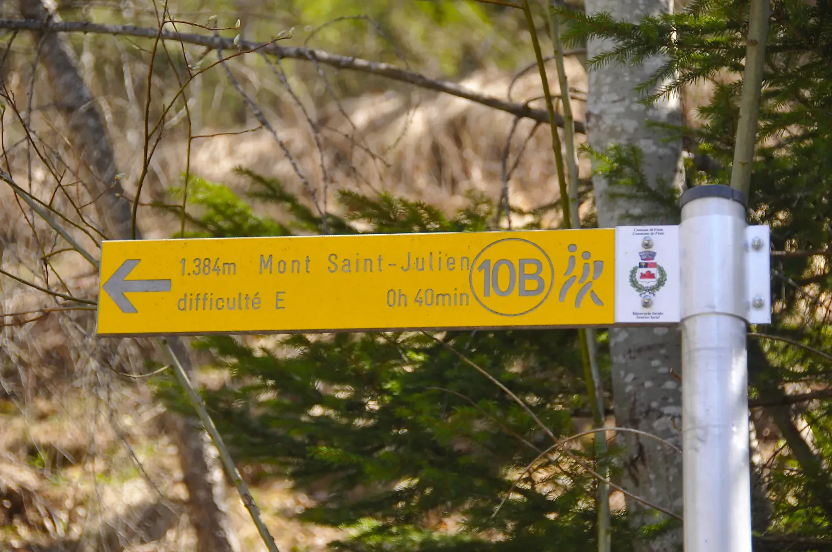
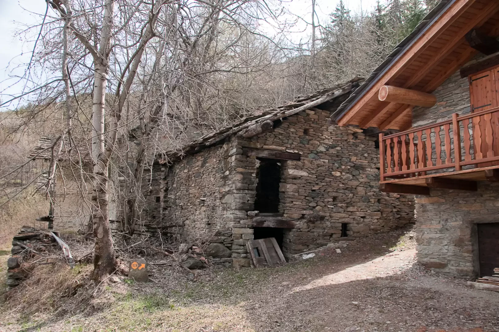
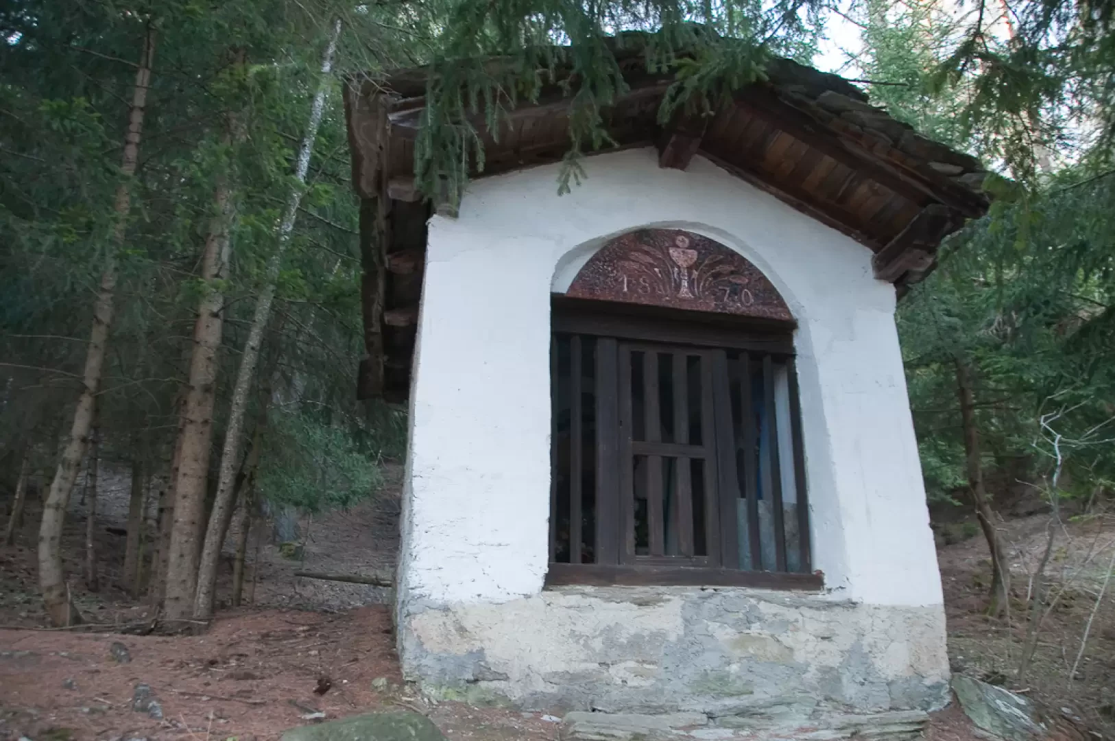
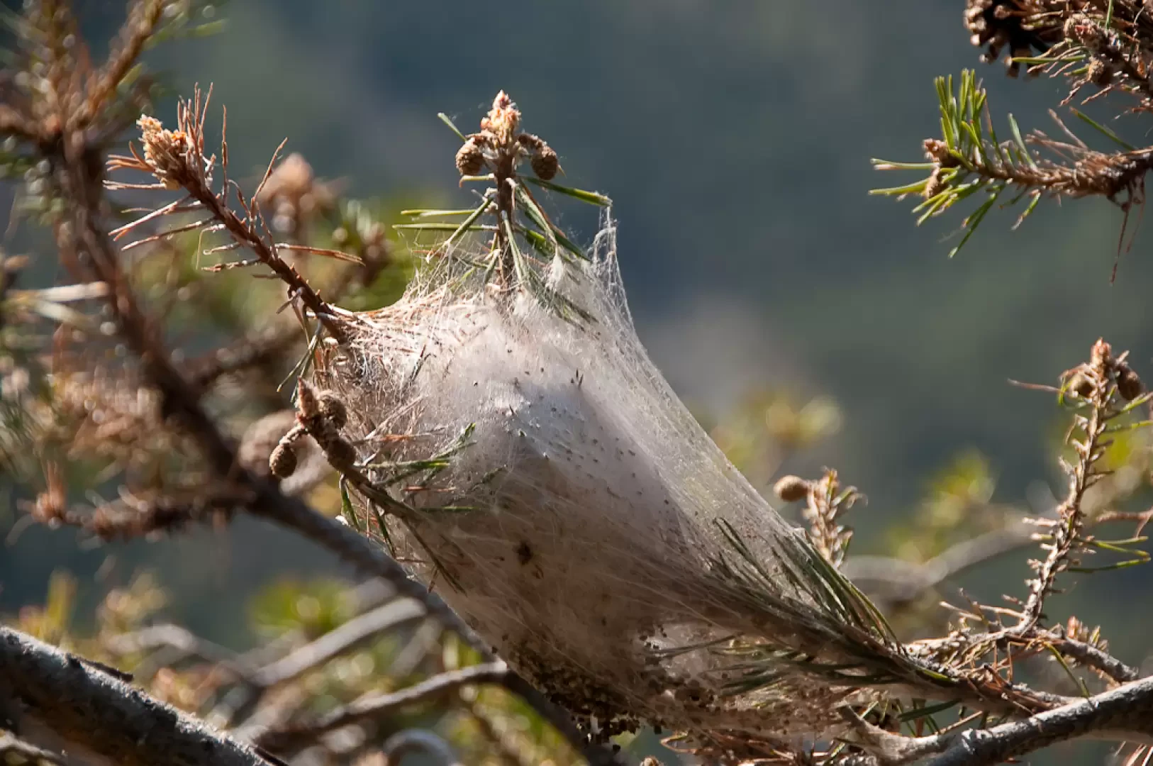
0h05' 0.13km Here the path branches off to the right, crossing some ruins and entering the forest. After encountering a small oratory and passing a landslide caused by the flood of 2000, we proceed very slightly uphill through a beautiful wood of mainly Scots pine (Pinus sylvestris). After about a quarter of an hour's shady walk, you reach a small col, with suggestive views of the not too distant Punta Charmontane; shortly afterwards, you come to a wooden footbridge that replaces an earlier bridge: about halfway across, you can make out the builder's initials and the date of construction carved into the rock (24/07/1634). Once across the bridge, a short flat section leads to the chapel of San Grato (1,374m).
0h20' 1.32km
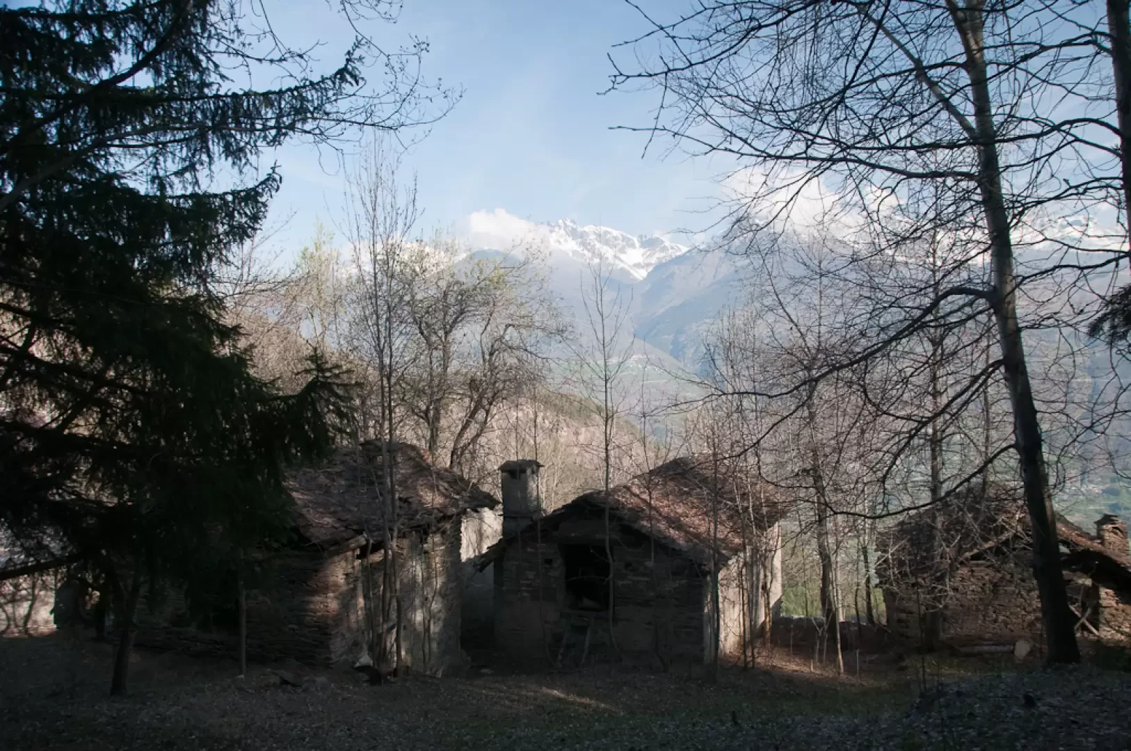
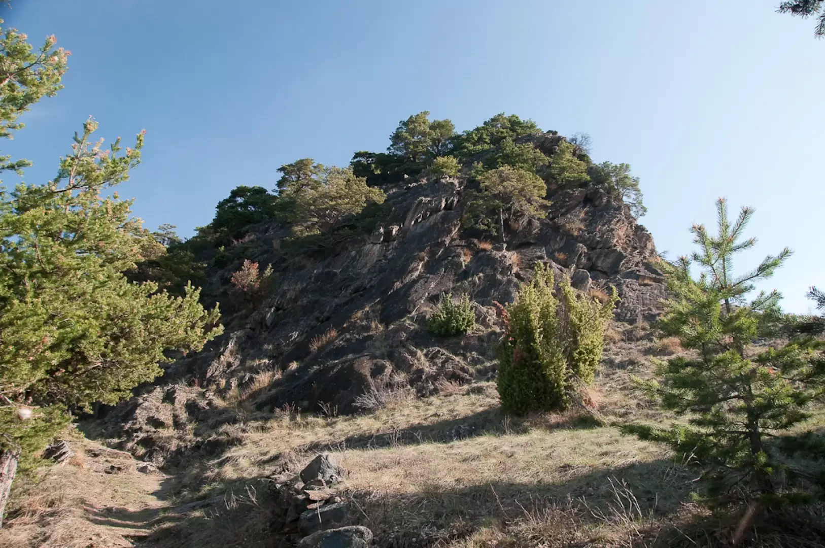
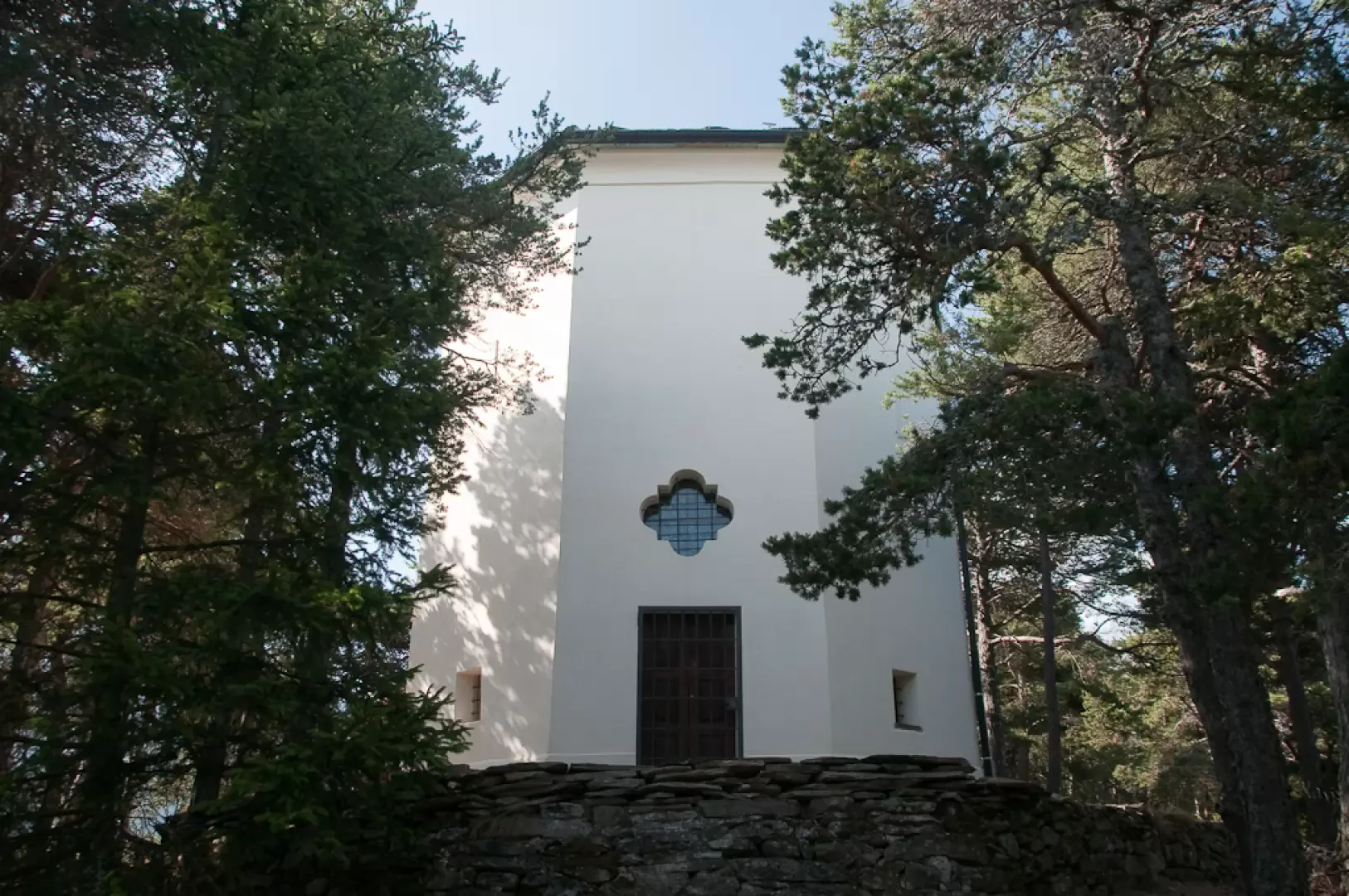
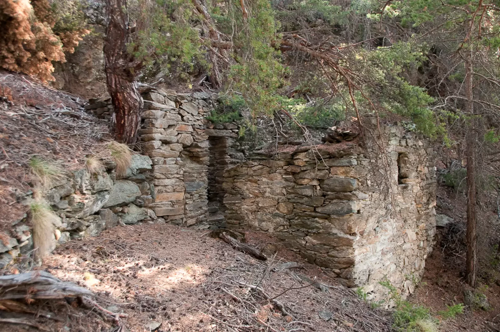
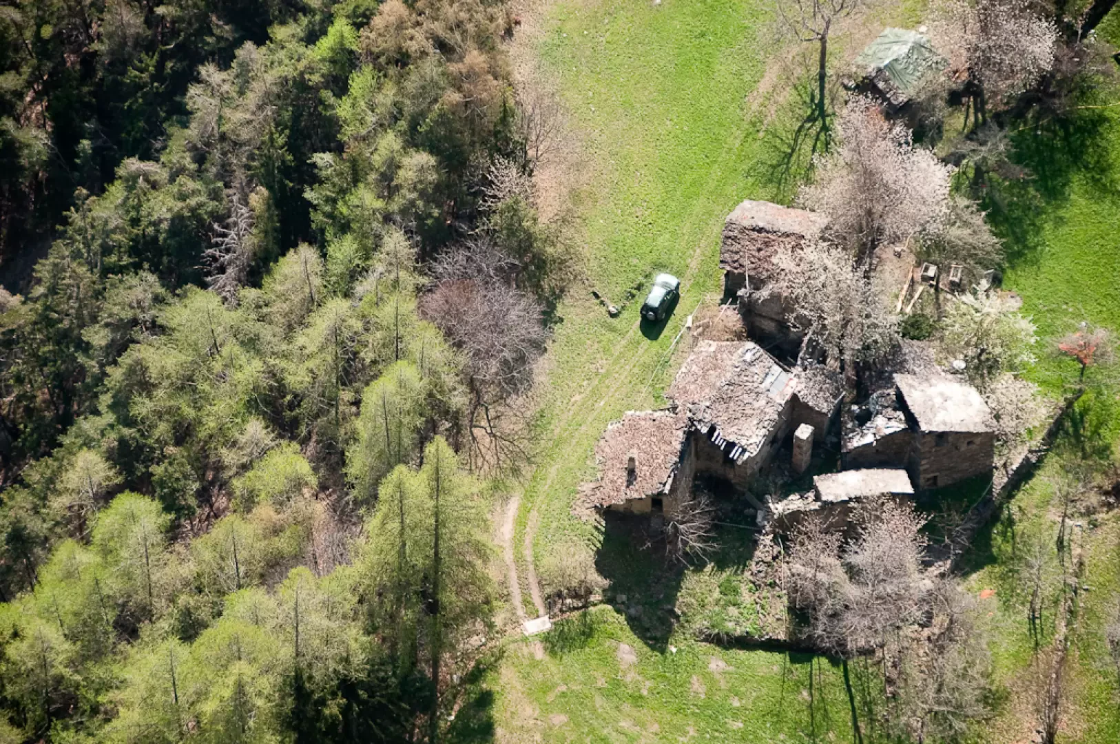
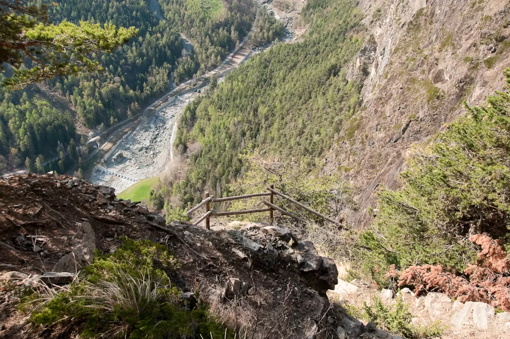
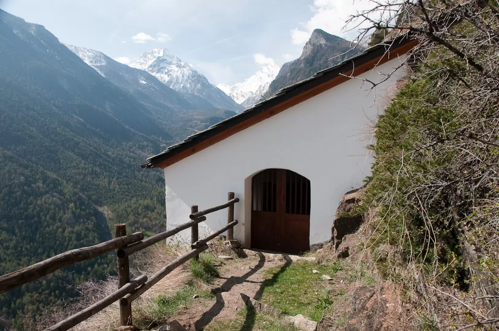
At this point, the descent begins. You come across the ruins of a building inhabited by hermits during the 18th century, then a somewhat steep section, protected by wooden barriers: without them it would be rather dizzying! Finally, you pass at the foot of some interesting cliffs and reach the white hermitage of Saint-Julien (1,325m) 0h30' 1.59km .
On arrival at the hermitage, you can leave your message, wish or greeting in the notebook you will find inside.
The return journey is along the same route as the outward journey, retracing the path to Le Côteau and the car park, the starting point of the itinerary (1,225m) 0h30' 1.59km .
Points of Interest
Collections
Galleria fotografica

We have been there

Edited by:
Massimo Martini
Eremo di Saint-Julien
Bella passeggiata primaverile con Sabrina
Edited by:
Massimo Martini
Eremo di Saint-Julien
Breve sgambata per fare qualche bella foto assieme a Fabio. Dall'ultima volta ho notato la ristrutturazione della Cappella di San Grato e dell'Eremo di Saint-Julien.
Fauna: Aquila chrysaetos, Falco peregrinus